
Downey in Bannock County, Idaho — The American West (Mountains)
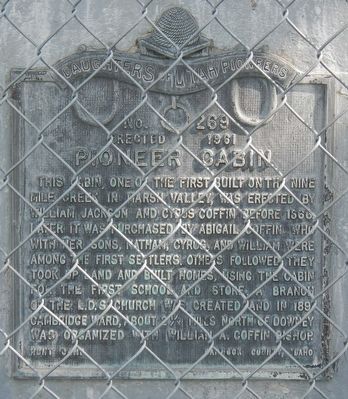
Pioneer Cabin
Photographed by Barry Swackhamer, August 9, 2019
1. Pioneer Cabin Marker
Erected 1961 by Daughters of Utah Pioneers, Hunt Camp, Bannock County, Idaho. (Marker Number 269.)
Topics and series. This historical marker is listed in these topic lists: Religion & Religious Structures • Settlements & Settlers. In addition, it is included in the Daughters of Utah Pioneers series list. A significant historical year for this entry is 1866.
Location. 42° 25.733′ N, 112° 7.593′ W. Marker is in Downey, Idaho, in Bannock County. It is on East Center Street near 1st West Street, on the right when traveling west. Touch for map. Marker is in this post office area: Downey ID 83234, United States of America.
this page online

Regionally, this marker is in Idaho’s Bear River Country. It is also in the American Mountain West. Globally, it is in North America, the Western Hemisphere, the Western World, and the Anglosphere.
Other nearby markers. At least 8 other markers are within 15 miles of this marker, measured as the crow flies: Stage Coach Station (approx. 4.8 miles away); Red Rock Pass (approx. 6½ miles away); Captain Jefferson Hunt, Soldier, Pioneer, Churchman (approx. 6½ miles away); Oneida Station (approx. 9½ miles away); Settlement of Oxford (approx. 12.9 miles away); Furs and farms, fire and floods... (approx. 14.4 miles away); Lava Hot Springs (approx. 14½ miles away); a different marker also named Lava Hot Springs (approx. 14½ miles away). Touch for a list and map of all markers in Downey.
Another marker is no longer nearby. Lead Bell Mining Company (was approx. 14.4 miles away but has been confirmed missing).
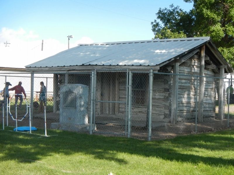
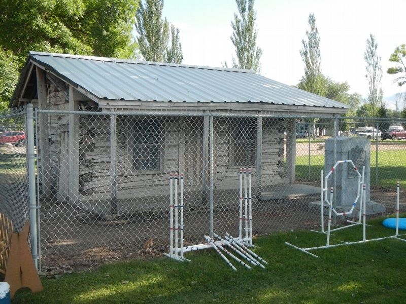
More about this marker. The cabin is located in Downey's City Park.
Photographed by Barry Swackhamer, August 9, 2019
2. Pioneer Cabin and Marker
Photographed by Barry Swackhamer, August 9, 2019
3. Pioneer Cabin
Credits. This page was last revised on September 25, 2019. It was originally submitted on September 25, 2019, by Barry Swackhamer of Brentwood, California. This page has been viewed 906 times since then and 34 times this year. Photos: 1, 2, 3. submitted on September 25, 2019, by Barry Swackhamer of Brentwood, California.
