Ovid in Bear Lake County, Idaho — The American West (Mountains)
Overland Emigration Routes
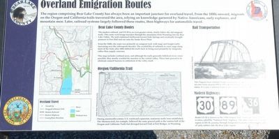
Bear Lake County Routes
The modern railroad, and US-30 to an even greater extent, closely follow the old emigrant trails. This route west brings travelers through the mountains from Wyoming into the Bear Lake Valley. The trail continued northward toward Soda Springs and eventually brought pioneers to Fort Hall and out onto the Snake River Plain.
From the 1840s, the route was primarily an emigrant trail, with stage and freight traffic increasing over the subsequent decades. The availability of railroads to carry cargo along most of the route after 1884 shifted the trails back to being used primarily by emigrants, rather than supply caravans.
This map (on the left, ed.) includes wetland areas, and although the trails generally followed rivers when possible, they mostly avoided the marshes in the central valley. These later proved to be obstinate natural barriers to settlement of the valley itself.
Oregon/California Trail
During nineteenth-century U.S. westward expansion, numerous trails were established. The Mormon trail, for example, followed the same general path as the eastern half of the Oregon and California Trails but diverged toward Utah at Fort Bridger, in Wyoming.
Rail Transportation
This Pegram truss railroad bridge stood near Georgetown (missing) decades from around 1894 to 1913, at which time it was moved to (missing) Idaho. It is now a national historic site, visible from SH-36.
Modern Highway
Route US-30 is known as the "Old Oregon Trail" highway, while US-89 is often called "The National Park" highway. The other major route in the region is SH-36, passing through Emigration Canyon following the path of early settlers into the Bear Lake region.
Erected by Idaho Transportation Department.
Topics. This historical marker is listed in these topic lists: Railroads & Streetcars • Roads & Vehicles • Settlements & Settlers.
Location. 42° 17.3′ N, 111° 23.885′ W. Marker is in Ovid, Idaho, in Bear Lake County. Marker is at the intersection of Ovid Road (Highway 89) and State Highway 36, in the median on Ovid Road. Touch for map. Marker is in this post office area: Montpelier ID 83254, United States of America. Touch for directions.
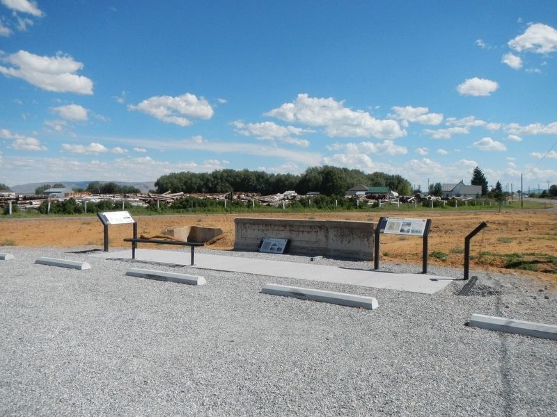
Other nearby markers. At least 8 other markers are within 5 miles of this marker, measured as the crow flies. Ovid Townsite (here, next to this marker); Bear Lake County Transit (here, next to this marker); Bear Lake Valley (approx. 3˝ miles away); Paris Tabernacle (approx. 4.3 miles away); Charles Coulson Rich (approx. 4.3 miles away); Paris (approx. 4.4 miles away); Our First Church (approx. 4.4 miles away); Thomas Sleight Cabin (approx. 4˝ miles away). Touch for a list and map of all markers in Ovid.
Credits. This page was last revised on September 27, 2019. It was originally submitted on September 27, 2019, by Barry Swackhamer of Brentwood, California. This page has been viewed 211 times since then and 28 times this year. Photos: 1, 2. submitted on September 27, 2019, by Barry Swackhamer of Brentwood, California.

