Village Of New Kentucky near Rose Hill in Harris County, Texas — The American South (West South Central)
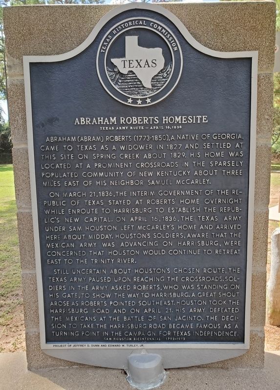
Abraham Roberts Homesite
Texas Army Route - April 16, 1836
On March 21, 1836, the interim government of the Republic of Texas stayed at Roberts' home overnight while enroute to Harrisburg to establish the Republic's new capital. On April 16, 1836, the Texas army under Sam Houston left McCarley's home and arrived here about midday. Houston's soldiers, aware that the Mexican army was advancing on Harrisburg, were concerned that Houston would continue to retreat east to the Trinity River.
Still uncertain about Houston's chosen route, the Texas army paused upon reaching the crossroads. Soldiers in the army asked Roberts, who was standing on his gate, to show the way to Harrisburg. A great shout arose as Roberts pointed southeast. Houston took the Harrisburg Road and on April 21 his army defeated the Mexicans at the Battle of San Jacinto. The decision to take the Harrisburg Road became famous as a turning point in the campaign for Texas independence.
Incise on base: Project of Jeffrey D. Dunn and Edward W. Turley, Jr.
Erected 1993 by Texas Historical Commission. (Marker Number 10747.)
Topics. This historical marker is listed in these topic lists: Settlements & Settlers • War, Texas Independence. A significant historical date for this entry is March 21, 1836.
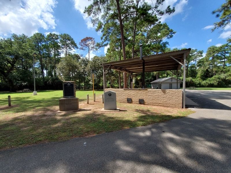
Location. 30° 4.756′ N, 95° 45.621′ W. Marker is near Rose Hill, Texas, in Harris County. It is in Village Of New Kentucky. Marker is on New Kentucky Park Drive, 0.2 miles north of Waller-Tomball Road (Farm to Market Road 2920), on the left when traveling north. Marker is one of two located in New Kentucky Park. Touch for map. Marker is at or near this postal address: 21710 FM 2920, Hockley TX 77447, United States of America. Touch for directions.
Other nearby markers. At least 8 other markers are within 5 miles of this marker, measured as the crow flies. Site of New Kentucky (here, next to this marker); Roberts Cemetery (approx. ¼ mile away); Kleb Family House (approx. 1.4 miles away); Samuel McCarley Homesite (approx. 2.9 miles away); Rose Hill United Methodist Church (approx. 3.2 miles away); Rose Hill Methodist Church Building (approx. 3.2 miles away); Macedonia Methodist Church (approx. 4½ miles away); Springer-Macedonia Cemetery (approx. 5 miles away). Touch for a list and map of all markers in Rose Hill.
Credits. This page was last revised on February 1, 2023. It was originally submitted on September 29, 2019, by Brian Anderson of Humble, Texas. This page has been viewed 466 times since then and 61 times this year. Photos: 1, 2. submitted on September 30, 2019, by Brian Anderson of Humble, Texas.

