Near Weston in Franklin County, Idaho — The American West (Mountains)
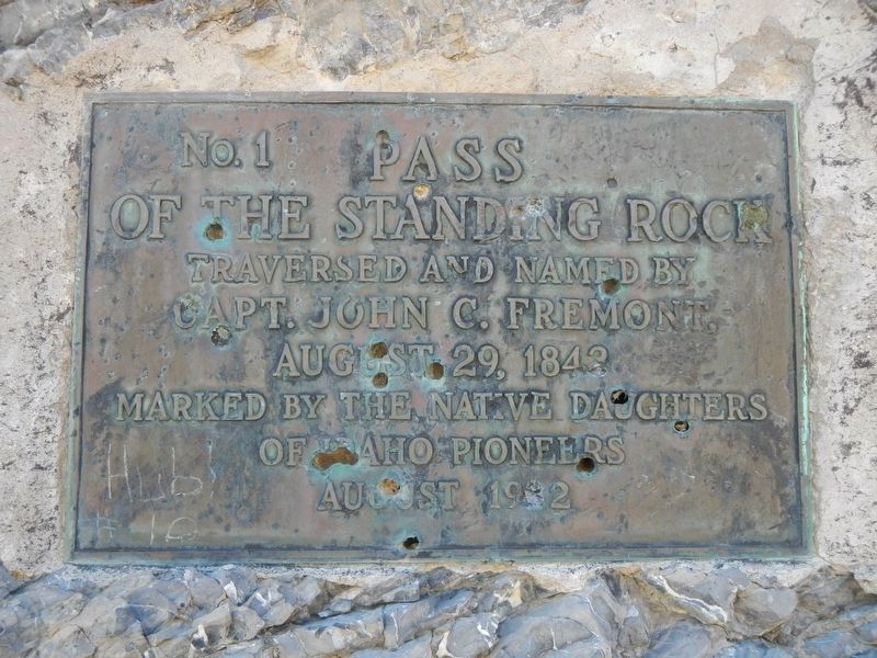
Pass of the Standing Rock
Photographed by Barry Swackhamer, August 10, 2019
1. Pass of the Standing Rock Marker
of the Standing Rock
Traversed and Named by
Capt. John C. Fremont
August 29, 1842
Erected 1932 by Native Daughters of Idaho Pioneers. (Marker Number 1.)
Topics. This historical marker is listed in this topic list: Exploration. A significant historical date for this entry is August 29, 1842.
Location. 42° 6.403′ N, 112° 5.363′ W. Marker is near Weston, Idaho, in Franklin County. It is on Weston Canyon Road (State Highway 36) near West 300 South, on the left when traveling east. Touch for map. Marker is in this post office area: Weston ID 83286, United States of America. Touch for directions.

Regionally, this marker is in Idaho’s Bear River Country. It is also in the American Mountain West. Globally, it is in North America, the Western Hemisphere, the Western World, and the Anglosphere.
Other nearby markers. At least 8 other markers are within 10 miles of this marker, measured as the crow flies: A different marker also named Pass of the Standing Rock (here, next to this marker); Dayton, Idaho (approx. 4.9 miles away); Weston Pioneers (approx. 7.4 miles away); Weston Grist Mill (approx. 7.9 miles away);
this page online
Another marker is no longer nearby. The Battle of Bear River (was approx. 9.4 miles away but has been permanently removed).
Photographed by Barry Swackhamer, August 10, 2019
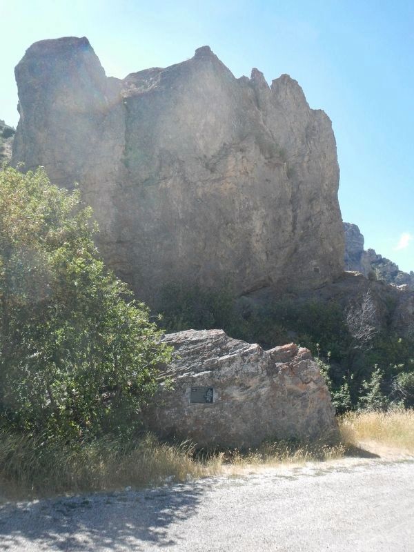
2. Pass of the Standing Rock Marker
The marker is located near the right edge of the rock, about 25 feet up from the base.
Photographed by Barry Swackhamer, August 10, 2019
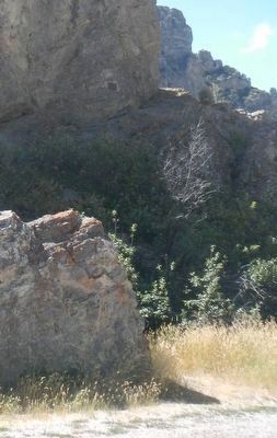
3. Pass of the Standing Rock Marker
Credits. This page was last revised on September 30, 2019. It was originally submitted on September 30, 2019, by Barry Swackhamer of Brentwood, California. This page has been viewed 426 times since then and 19 times this year. Photos: 1, 2, 3. submitted on September 30, 2019, by Barry Swackhamer of Brentwood, California.
