Strataca
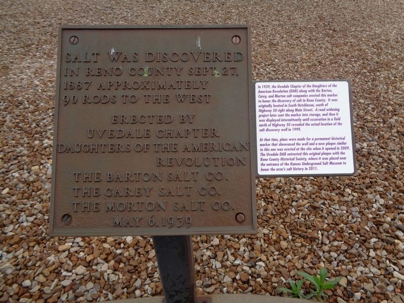
Salt was discovered in Reno County Sept. 27, 1887 approximately 90 rods to the west
Erected by Uvedale Chapter
Daughters of the American Revolution
The Barton Salt Co.
The Carey Salt Co.
The Morton Salt Co.
May 6, 1939
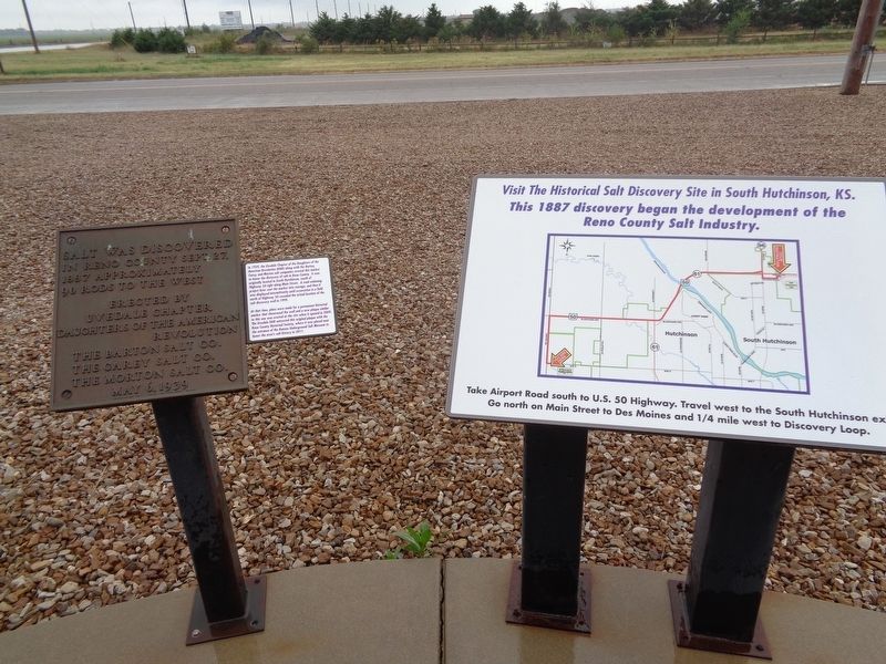
(next to the plaque:)
In 1939, the Uvedale Chapter of the Daughters of the American Revolution (DAR) along with the Barton, Carey and Morton salt companies erected this marker to honor the discovery of salt in Reno County. It was originally located in South Hutchinson, south of Highway 50 right along Main Street. A road widening project later sent the marker into storage, and then it was displayed intermittently until excavation in a field north of Highway 50 revealed the actual location of the salt discovery well in 1999.
At that time, plans were made for a permanent historical marker that showcased the well and a new plaque similar to this one was erected at the site when it opened in 2009. The Uvedale DAR entrusted this original plaque with the Reno County Historical Society, where it was placed near the entrance of the Kansas Underground Salt Museum to honor the area's salt history in 2011.
Erected 1939 by Uvedale Chapter of the Daughters of the American Revolution, and the Barton,
Topics and series. This historical marker is listed in this topic list: Industry & Commerce. In addition, it is included in the Daughters of the American Revolution series list. A significant historical date for this entry is September 27, 1887.
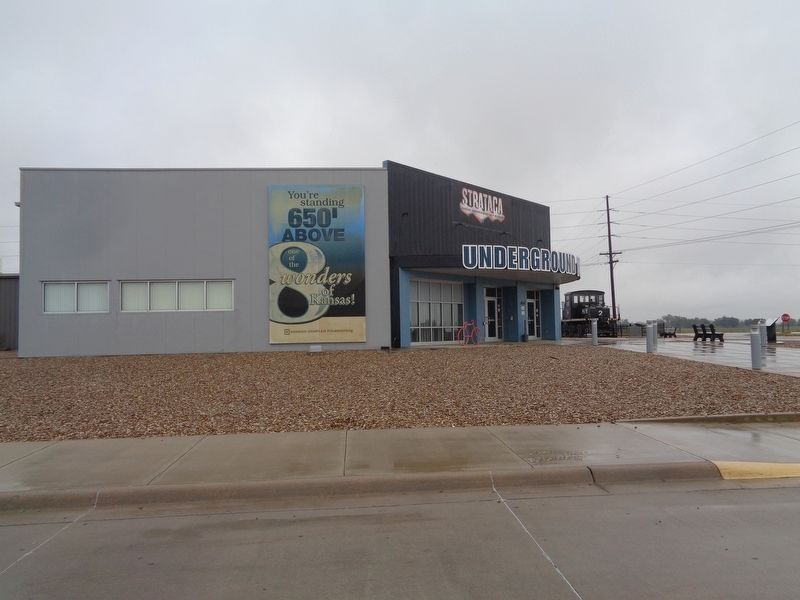
Location. 38° 2.6′ N, 97° 52.056′ W. Marker is in Hutchinson, Kansas, in Reno County. Marker is on E Ave G, on the right when traveling west. The marker is seen at the entrance of Strataca, which is also known as the Kansas Underground Salt Museum. Touch for map. Marker is at or near this postal address: 3650 E Ave G, Hutchinson KS 67501, United States of America. Touch for directions.
Other nearby markers. At least 8 other markers are within 4 miles of this marker, measured as the crow flies. Man's Last Footsteps On The Moon (approx. 3.3 miles away); Outhouses (approx. 3.4 miles away); Windmills (approx. 3.4 miles away); Siegrist Claim House, 1876 (approx. 3.4 miles away); Warren G. Harding (approx. 3.4 miles away); Reno County Civil War Soldiers and Sailors Monument (approx. 3˝ miles away); American Hotel (approx. 3˝ miles away); Hutchinson Implement Co. (approx. 3˝ miles away). Touch for a list and map of all markers in Hutchinson.
More about this marker. As the marker says, the plaque was originally placed in South Hutchinson in 1939. It was then put up again in 2011. It is not known when the "newer" marker next to it was placed.
Also see . . . Strataca's Official website. The website talks about what to expect if you take the underground tour (you will be taken 650 feet below), as well as history, lots of photos, and touring information. (Submitted on October 1, 2019, by Jason Voigt of Glen Carbon, Illinois.)
Credits. This page was last revised on October 2, 2019. It was originally submitted on October 1, 2019, by Jason Voigt of Glen Carbon, Illinois. This page has been viewed 205 times since then and 11 times this year. Photos: 1, 2, 3. submitted on October 1, 2019, by Jason Voigt of Glen Carbon, Illinois. • Andrew Ruppenstein was the editor who published this page.


