Swedes Landing in Wilmington in New Castle County, Delaware — The American Northeast (Mid-Atlantic)
Fort Christina
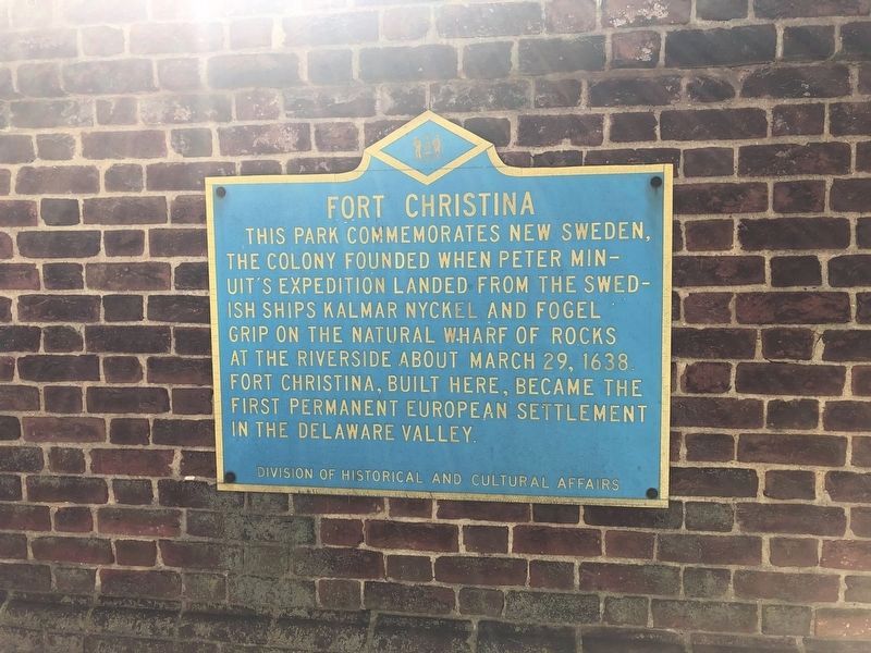
Erected by Delaware Division of Historical and Cultural Affairs.
Topics and series. This historical marker is listed in these topic lists: Colonial Era • Forts and Castles. In addition, it is included in the Delaware Public Archives series list. A significant historical date for this entry is March 29, 1638.
Location. 39° 44.281′ N, 75° 32.282′ W. Marker is in Wilmington, Delaware, in New Castle County. It is in Swedes Landing. It is on East 7th Street. This marker is mounted on the wall on the right inside Fort Christiana Park about 20 feet from the entrance. Touch for map. Marker is at or near this postal address: 1138 E 7th Street, Wilmington DE 19801, United States of America. Touch for directions.

Regionally, this marker is in Greater Philadelphia. It is also in the American Mid-Atlantic, on the
this page online
Other nearby markers. At least 8 other markers are within walking distance of this marker: Fort Christina Monument (a few steps from this marker); The Park (a few steps from this marker); The Monument (within shouting distance of this marker); a different marker also named The Monument (within shouting distance of this marker); "The Rocks" and the Underground Railroad (about 300 feet away, measured in a direct line); Lifeboat 39 (about 300 feet away); a different marker also named Lifeboat 39 (about 300 feet away); Escape by Sea (about 500 feet away). Touch for a list and map of all markers in Wilmington.
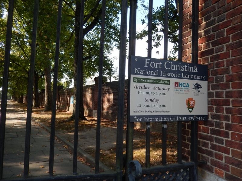
Photographed by Don Morfe, September 28, 2019
2. Fort Christina Marker
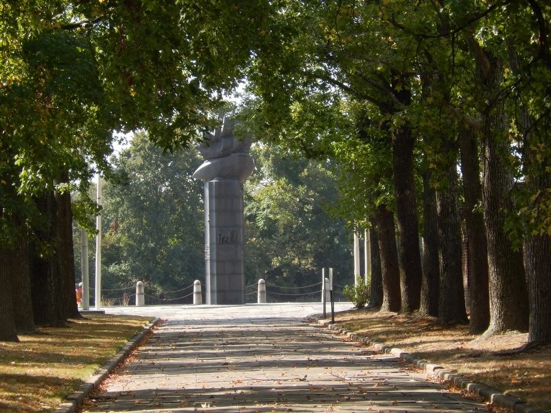
Photographed by Don Morfe, September 28, 2019
3. Fort Christina Monument located at the waters edge
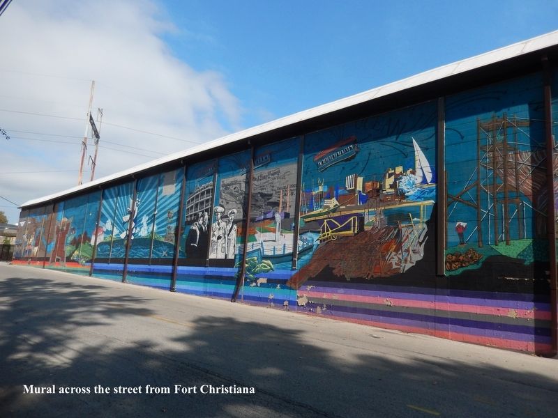
Photographed by Don Morfe, September 28, 2019
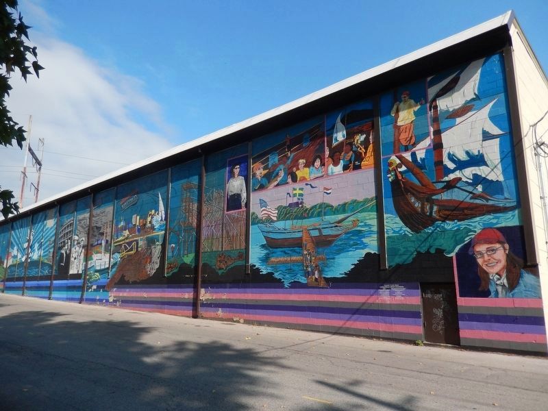
4. Fort Christina-Mural on wall across the street from the park
Photographed by Don Morfe, September 28, 2019
5. Fort Christina Mural-right side
Credits. This page was last revised on October 26, 2025. It was originally submitted on October 3, 2019, by Don Morfe of Baltimore, Maryland. This page has been viewed 844 times since then and 73 times this year. Photos: 1. submitted on June 1, 2021, by Devry Becker Jones of Washington, District of Columbia. 2, 3, 4, 5. submitted on October 3, 2019, by Don Morfe of Baltimore, Maryland. • Bill Pfingsten was the editor who published this page.
