Longville in Beauregard Parish, Louisiana — The American South (West South Central)
Longville, Louisiana
Established 1906
Photographed by Cajun Scrambler, October 4, 2019
1. Longville, Louisiana Marker
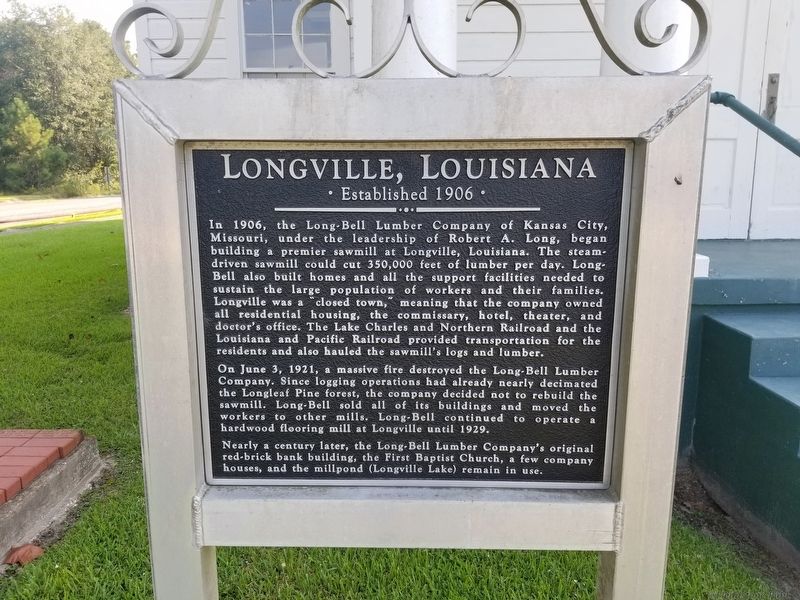
In 1906, the Long Bell Lumber Company of Kansas City, Missouri, under the leadership of Robert A. Long, began building a premier sawmill at Longville, Louisiana. The steam driven sawmill could cut 350,000 feet of lumber per day. Long- Bell also built homes and all the support facilities needed to sustain the large population of workers and their families. Longville was a "closed town," meaning that the company owned all residential housing, the commissary, hotel, theater, and doctor's office. The Lake Charles and Northern Railroad and the Louisiana and Pacific Railroad provided transportation for the residents and also hauled the sawmill's logs and lumber.
On June 3, 1921, a massive fire destroyed the Long-Bell Lumber Company. Since logging operations had already nearly decimated the Longleaf Pine forest, the company decided not to rebuild the sawmill. Long-Bell sold all of its buildings and moved the workers to other mills. Long-Bell continued to operate a hardwood flooring mill at Longville until 1929.
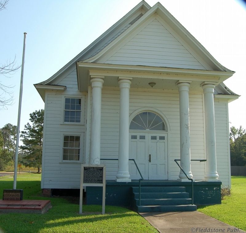
Nearly a century later, the Long Bell Lumber Company's original red-brick bank building, the
this page online
Topics. This historical marker is listed in these topic lists: Industry & Commerce • Settlements & Settlers.
Location. 30° 36.409′ N, 93° 13.725′ W. Marker is in Longville, Louisiana, in Beauregard Parish. It is on Longville Road (Parish Road 217) east of Cedar Street, on the right when traveling east. Touch for map. Marker is in this post office area: Longville LA 70652, United States of America. Touch for directions.

Regionally, this marker is in Louisiana’s Acadiana — Cajun Country. It is also in the American South, specifically in the Deep South, and in the Piney Woods. Globally, it is in North America, a Gulf of Mexico state, the Western Hemisphere, the Western World, and the Anglosphere. Historically, it finds itself in what was once New Spain, the territory of the Mississippian Culture, the Louisiana Purchase, one of the Confederate States of America, and the Antebellum South.
Other nearby markers. At least 3 other markers are within 17 miles of this marker,
Photographed by Cajun Scrambler, October 3, 2019
2. Longville, Louisiana Marker
Another marker is no longer nearby. The Old Confederate Military Road (was approx. 7½ miles away but has been confirmed missing).
Credits. This page was last revised on October 5, 2019. It was originally submitted on October 5, 2019, by Cajun Scrambler of Assumption, Louisiana. This page has been viewed 1,842 times since then and 111 times this year. Photos: 1, 2. submitted on October 5, 2019, by Cajun Scrambler of Assumption, Louisiana.
