
Caddo Heights in Shreveport in Caddo Parish, Louisiana — The American South (West South Central)
Dodd College
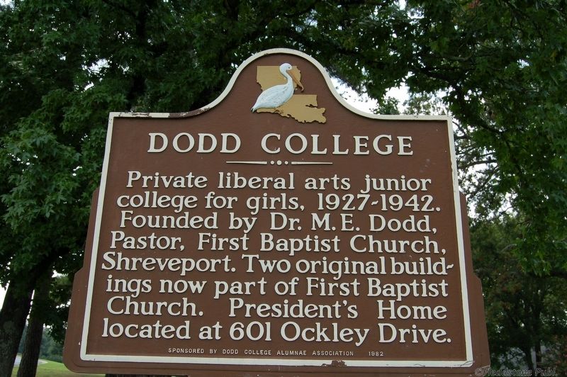
Photographed by Cajun Scrambler, August 30, 2019
1. Dodd College Marker
Erected 1982 by Dodd College Alumnae Association. (Marker Number 342.)
Topics. This historical marker is listed in this topic list: Education.
Location. 32° 28.192′ N, 93° 44.375′ W. Marker is in Shreveport, Louisiana, in Caddo Parish. It is in Caddo Heights. It is on Ockley Drive east of College Lane, on the right when traveling east. Touch for map. Marker is at or near this postal address: 533 Ockley Dr, Shreveport LA 71106, United States of America. Touch for directions.

Regionally, this marker is in North Louisiana. It is also in the American South, specifically in the Deep South, and in the Piney Woods. Globally, it is in North America, a Gulf of Mexico state, the Western Hemisphere, the Western World, and the Anglosphere. Historically, it finds itself in what was once the territory of the Mississippian Culture, the Louisiana
this page online
Other nearby markers. At least 8 other markers are within one mile of this marker, measured as the crow flies: Dodd House (approx. 0.2 miles away); South Highlands Fire Station (approx. half a mile away); Huey P. Long House (approx. 0.7 miles away); C.E. Byrd High School (approx. 0.8 miles away); King's Highway Christian Church (approx. 0.9 miles away); Moore House (approx. one mile away); Marston House (approx. one mile away); 530 Kirby Place (approx. one mile away). Touch for a list and map of all markers in Shreveport.
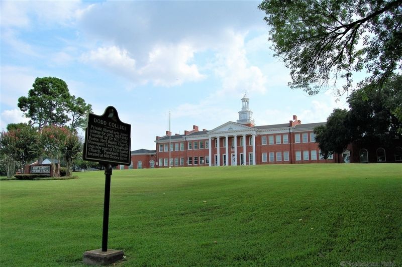
Photographed by Cajun Scrambler, August 30, 2019
2. Dodd College Marker
Credits. This page was last revised on February 12, 2023. It was originally submitted on October 5, 2019, by Cajun Scrambler of Assumption, Louisiana. This page has been viewed 1,112 times since then and 63 times this year. Photos: 1, 2. submitted on October 5, 2019, by Cajun Scrambler of Assumption, Louisiana.
