Near Meadow Bridge in Summers County, West Virginia — The American South (Appalachia)
Fayette County / Summers County
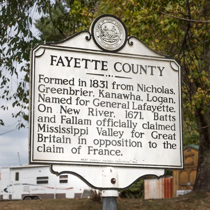
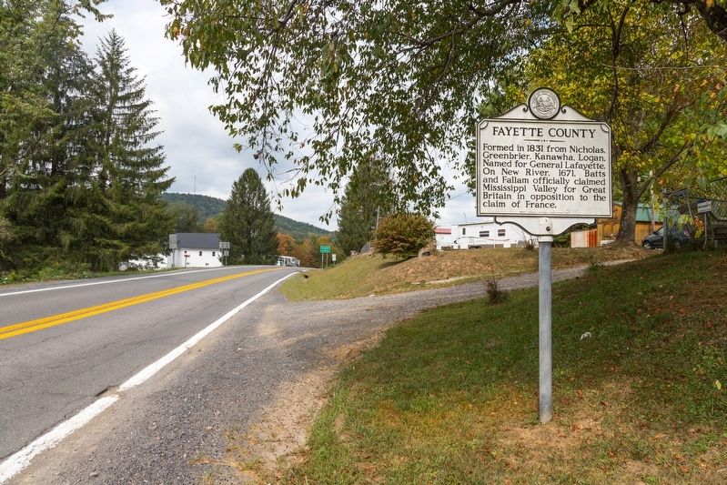
Fayette County. Formed in 1831 from Nicholas, Greenbrier, Kanawha, Logan. Named for General Lafayette. On New River, 1671, Batts and Fallam officially claimed Mississippi Valley for Great Britain in opposition to the claim of France.
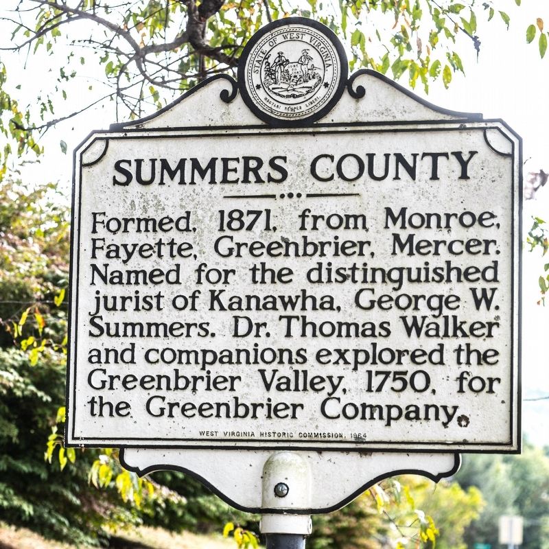
Summers County. Formed 1871 from Monroe, Fayette, Greenbrier, Mercer. Named for the distinguished jurist of Kanawha, George W. Summers. Dr. Thomas Walker and companions explored the Greenbrier Valley, 1750, for the Greenbrier Company.
Erected 1964 by West Virginia Historic Commission.
Topics and series. This historical marker is listed in this topic list: Political Subdivisions. In addition, it is included in the West Virginia Archives and History series list. A significant historical year for this entry is 1831.
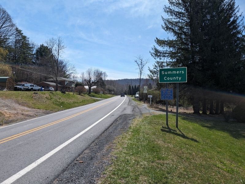
Location. 37° 51.035′ N, 80° 51.376′ W. Marker is near Meadow Bridge, West Virginia, in Summers County. Marker is on Sewell Creek Road (West Virginia Route 20) north of Lockbridge Road (County Route 1), on the right when traveling north. Touch for map. Marker is in this post office area: Meadow Bridge WV 25976, United States of America. Touch for directions.
Other nearby markers. At least 8 other markers are within 9 miles of this marker, measured as the crow flies. Andrew & Charles Lewis March (approx. 3.6 miles away); Batteaux on the New (approx. 5.2 miles away); Sandstone School (approx. 5.2 miles away); Lelia Pearl Bragg Laska Chamberlain (approx. 5.6 miles away); William Richmond Homeplace / Sandstone Falls (approx. 5.9 miles away); Layland Mine Disaster (approx. 6.8 miles away); Brooks Overlook-Welcome (approx. 8.4 miles away); Sewell Mountain Campaign (approx. 8.7 miles away).
Credits. This page was last revised on March 29, 2024. It was originally submitted on October 5, 2019, by J. J. Prats of Powell, Ohio. This page has been viewed 153 times since then and 22 times this year. Photos: 1, 2, 3. submitted on October 5, 2019, by J. J. Prats of Powell, Ohio. 4. submitted on March 29, 2024, by Mike Wintermantel of Pittsburgh, Pennsylvania.


