Brandywine Village in Wilmington in New Castle County, Delaware — The American Northeast (Mid-Atlantic)
Brandywine Village and the Road to Yorktown
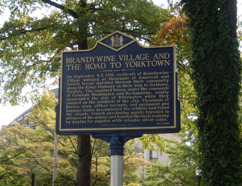
Photographed by Don Morfe, September 28, 2019
1. Brandywine Village and the Road to Yorktown Marker
Erected 2019 by Delaware Public Archives. (Marker Number NCC-246.)
Topics and series. This memorial is listed in this topic list: War, US Revolutionary. In addition, it is included in the Delaware Public Archives, the Former U.S. Presidents: #01 George Washington, and the The Washington-Rochambeau Route series lists.
Location. 39° 45.088′ N, 75° 32.566′ W. Memorial is in Wilmington, Delaware, in New Castle County. It is in Brandywine Village.
this page online

Regionally, this memorial is in Greater Philadelphia. It is also in the American Mid-Atlantic, on the Delmarva Peninsula, and on the Eastern Seaboard. Globally, it is in the North Atlantic Region, North America, the Western Hemisphere, the Western World, and the Anglosphere. Historically, it finds itself in what was once New Netherland and also one of the original Thirteen Colonies.
Other nearby markers. At least 8 other markers are within walking distance of this marker: 1st Rhode Island Regiment (a few steps from this marker); Lafayette's Tour (within shouting distance of this marker); Joseph Tatnall House (within shouting distance of this marker); Brandywine Village (within shouting distance of this marker); Mayor James H. Sills, Jr. Bridge (about 600 feet away, measured in a direct line); Forgotten Heroes (about 600 feet away); Brandywine Pumping Station (about 600 feet away); James H. Sills, Jr. (about
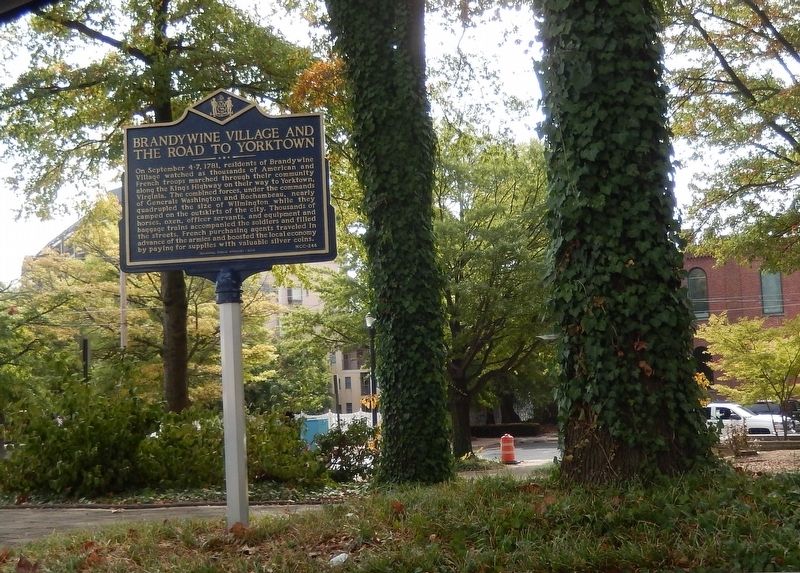
Photographed by Don Morfe, September 28, 2019
2. Brandywine Village and the Road to Yorktown Marker
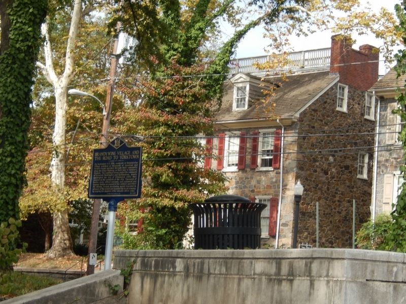
Photographed by Don Morfe, September 28, 2019
3. Brandywine Village and the Road to Yorktown Marker
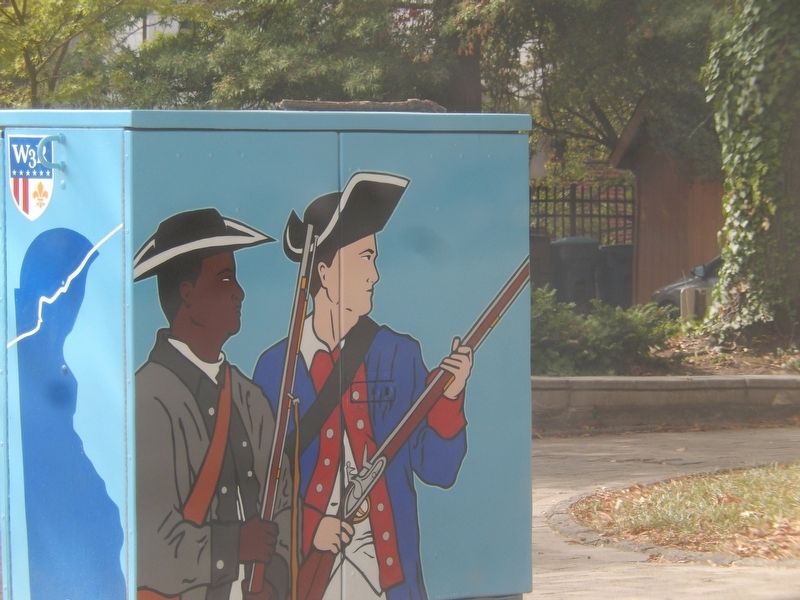
Photographed by Don Morfe, September 28, 2019
4. Brandywine Village and the Road to Yorktown Marker
Credits. This page was last revised on February 10, 2023. It was originally submitted on October 5, 2019, by Don Morfe of Baltimore, Maryland. This page has been viewed 802 times since then and 36 times this year. Photos: 1, 2, 3, 4. submitted on October 5, 2019, by Don Morfe of Baltimore, Maryland. • Bill Pfingsten was the editor who published this page.
