Buffalo in Erie County, New York — The American Northeast (Mid-Atlantic)
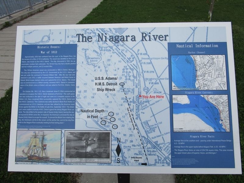
The Niagara River
Historic Events: War of 1812
Approximately 2000 feet northwest from this spot, in the Niagara River, lies the remains of a (War of 1812) battleship. The vessel was identified as the U.S.S. Adams, also known as the H.M.S. Detroit. The ship, discovered in 1963, lies approximately nineteen feet underwater. The 50-foot long ship had a double planked oak hull, multiple cannons, and 22 musket rifles.
The 100-ton American vessel was constructed in 1802 in Detroit, Michigan. The ship was commissioned by the U.S. Government as the U.S.S. Adams and was put under the command of General William Hull. After the war had commenced in June 1812, a battle occurred between American and British forces in Detroit. British troops claimed victory and captured the U.S.S. Adams (1). The vessel was re-commissioned as a British warship, renamed H.M.S. Detroit in commemoration of the British victory at Detroit, and was sailed to Fort Erie, Ontario, Canada (1).
On October 8th, 1812, U.S. Navy Lieutenant Jesse D. Elliot commenced an operation to recapture the H.M.S. Detroit stationed at Fort Erie (2). The swift operation was conducted in the dark of night and came as a complete surprise to the British. U.S. Navy Lieutenant Elliot successfully captured the H.M.S. Detroit and the H.M.S. Caledonia (2). The Caledonia was safely docked in Black Rock Harbor, re-commissioned as U.S.S. Caledonia, and was later utilized by the American naval forces against the British in the Battle of Lake Erie, September 1813 (2). The Americanís [sic] were unable to hold the H.M.S. Detroit against the strong Niagara River currents. The ship drifted to the western side of Squaw (Unity) Island, leaving the vessel exposed to British cannon fire. In response, the Americanís [sic] anchored the ship at Squaw (Unity) Island to escape the assault. To prevent the British from retaking the ship, the Americans set fire to the vessel, cut the anchor line, and let the ship flow north on the Niagara River eventually meeting its final resting place (2).
Sources: 1. Buffalo Historical Society, Publications of the Buffalo Historical Society, (Buffalo: Frank H. Severance, 1899). 2. John B. Mansfield, History of the Great Lakes, (Chicago: J.H. Beers & Co., 1899).
Nautical Information
Harbor Channel
Niagara River Currents
Niagara River Facts
Average flow at the southern end – passing under International Peace Bridge – is 5-10 MPH
Average flow in the upper rapids before Niagara Falls is 35-45 MPH
The Niagara River drains an area of 254,708 square miles. This area includes the upper Great Lakes of Superior, Huron, and Michigan.
Topics. This historical marker is listed in
these topic lists: War of 1812 • Waterways & Vessels. A significant historical month for this entry is June 1812.
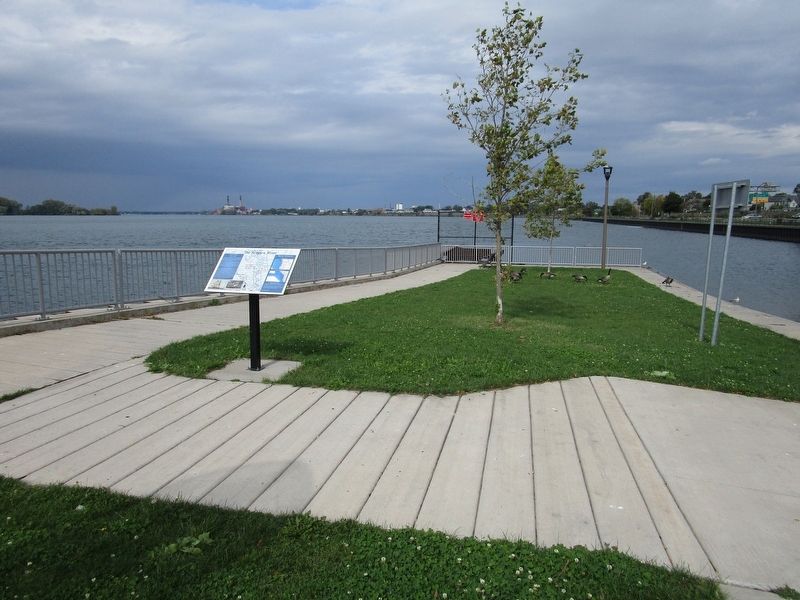
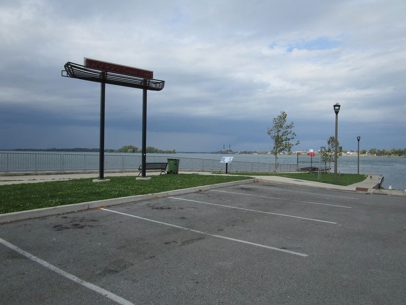
Location. 42° 56.732′ N, 78° 54.585′ W. Marker is in Buffalo, New York, in Erie County. Touch for map. Marker is at or near this postal address: Black Rock Harbor Road, Buffalo NY 14207, United States of America. Touch for directions.
Other nearby markers. At least 8 other markers are within walking distance of this marker. Niagara River Corridor / Avian Walk (about 500 feet away, measured in a direct line); Hunting and Fishing off the Porch (approx. 0.2 miles away); Tow Path Park (approx. 0.4 miles away); The Fenian Invasion of 1866 (approx. 0.4 miles away); Bernard G. Hitro Jr. (approx. 0.6 miles away); In Memory of the Sons and Daughters (approx. 0.7 miles away); Jubilee Springs (approx. 0.7 miles away); Park with a View (approx. 0.7 miles away). Touch for a list and map of all markers in Buffalo.
Additional keywords. U.S.S. Detroit, USS Detroit
Credits. This page was last revised on October 7, 2019. It was originally submitted on October 7, 2019, by Anton Schwarzmueller of Wilson, New York. This page has been viewed 249 times since then and 32 times this year. Photos: 1, 2, 3. submitted on October 7, 2019, by Anton Schwarzmueller of Wilson, New York.


