Lewisburg in Greenbrier County, West Virginia — The American South (Appalachia)
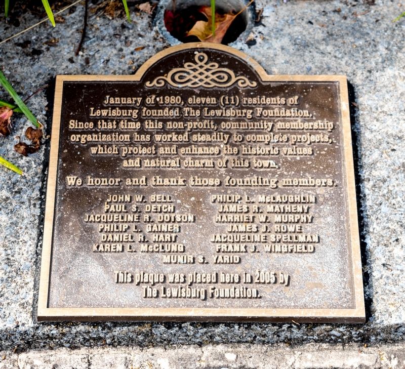
The Lewisburg Foundation
We honor and thank those founding members. John W. Bell • Paul S. Detch • Jacqueline R. Dotson • Philip L. Gainer • Daniel R. Hart • Karen L. McClung • Philip L. McLaughlin • James R. Matheny • Harriet W. Murphy • James J. Rowe • Jacqueline Spellman • Frank J. Wingfield • Munir S. Yarid.
Erected 2005 by The Lewisburg Foundation.
Topics. This historical marker is listed in these topic lists: Charity & Public Work • Parks & Recreational Areas. A significant historical month for this entry is January 1980.
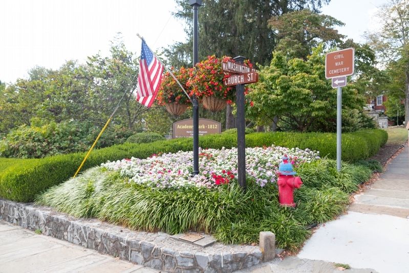
Location. 37° 48.172′ N, 80° 26.85′ W. Marker is in Lewisburg, West Virginia, in Greenbrier County. Marker is at the intersection of Washington Street (U.S. 60) and Church Street, on the left when traveling west on Washington Street. Touch for map. Marker is in this post office area: Lewisburg WV 24901, United States of America. Touch for directions.
Other nearby markers. At least 8 other markers are within walking distance of this marker. Battle of Lewisburg (a few steps from this marker); Shuck Memorial Baptist Church (within shouting distance of this marker); William Cammack Campbell (within shouting distance of this marker); Greenbrier College / Greenbrier Hall (about 300 feet away, measured in a direct line); Carnegie Hall (about 300 feet away); Confederate Cemetery / The Civil War (about 400 feet away); Lewisburg (about 400 feet away); Rev. John McElhenney, D.D. (about 500 feet away). Touch for a list and map of all markers in Lewisburg.
Credits. This page was last revised on October 18, 2019. It was originally submitted on October 7, 2019, by J. J. Prats of Powell, Ohio. This page has been viewed 159 times since then and 15 times this year. Photos: 1, 2. submitted on October 7, 2019, by J. J. Prats of Powell, Ohio. • Bill Pfingsten was the editor who published this page.

