Jewett City in Griswold in New London County, Connecticut — The American Northeast (New England)
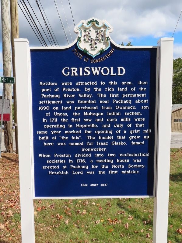
Griswold
Settlers were attracted to this area, then part of Preston, by the rich land of the Pachaug River Valley. The first permanent settlement was founded near Pachaug about 1690 on land purchased from Owaneco, sorn of Uncas, the Mohegan Indian sachem. In 171 the first saw and corn mills were operating in Hopeville, and July of that same year marked the opening of a grist mill built at "the fals". The hamlet that grew up here was named for Isaac Glasko, famed ironworker. When Preston divided into two ecclesiastical societies in 1716, a meeting house was erected at Pachaug for the North Society. Hezekiah Lord was the first minister.
( back )
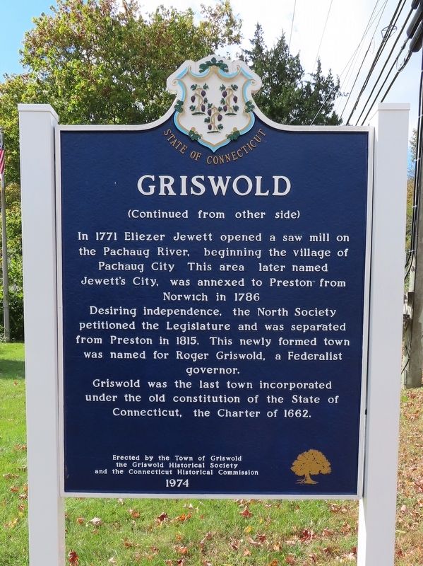
In 1771 Eliezer Jewett opened a saw mill on the Pachaug River, beginning the village of Pachaug City This area later named Jewett's City, was annexed to Preston from Norwich in 1786 Desiring independence, the North Society petitioned the Legislature and was separated from Preston in 1815. This newly formed town was named for Roger Griswold, a Federalist governor. Griswold was the last town incorporated under the old constitution of the State of Connecticut, the Charter of 1662.
the Griswold Historical Society
and the Connecticut Historical Commission
1974
Erected 1974.
Topics. This historical marker is listed in this topic list: Settlements & Settlers. A significant historical year for this entry is 1690.
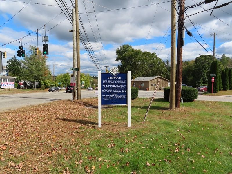
Location. 41° 35.067′ N, 71° 56.471′ W. Marker is in Griswold, Connecticut, in New London County. It is in Jewett City. Marker is at the intersection of Voluntown Road (Connecticut Route 138) and Bethel Road, on the right when traveling west on Voluntown Road. Touch for map. Marker is in this post office area: Jewett City CT 06351, United States of America. Touch for directions.
Other nearby markers. At least 8 other markers are within 4 miles of this marker, measured as the crow flies. Revolutionary Soldiers of Ancient Pachaug (approx. 0.3 miles away); Griswold World War I Monument (approx. 2.6 miles away); Griswold Korean War Monument (approx. 2.6 miles away); Griswold Civil War Monument (approx. 2.6 miles away); Griswold World War II Monument (approx. 2.6 miles away); Griswold Vietnam Monument (approx. 2.6 miles away); Jewett City (approx. 2.6 miles away); Preston (approx. 4 miles away). Touch for a list and map of all markers in Griswold.
Also see . . .
1. Town of Griswold, CT. (Submitted on October 9, 2019, by Michael Herrick of Southbury, Connecticut.)
2. Griswold, Connecticut on Wikipedia. (Submitted on October 9, 2019, by Michael Herrick of Southbury, Connecticut.)
Credits. This page was last revised on February 10, 2023. It was originally submitted on October 9, 2019, by Michael Herrick of Southbury, Connecticut. This page has been viewed 303 times since then and 33 times this year. Photos: 1, 2, 3. submitted on October 9, 2019, by Michael Herrick of Southbury, Connecticut.


