Kirkwood in St. Louis County, Missouri — The American Midwest (Upper Plains)
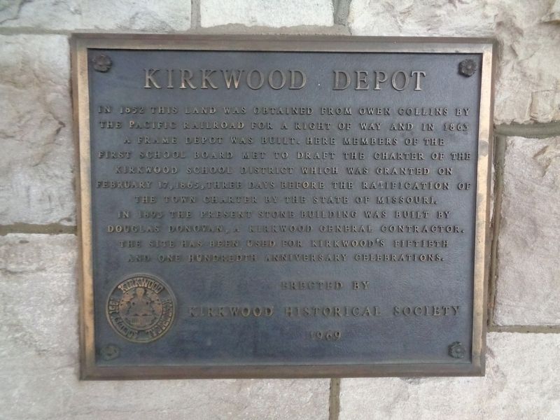
Kirkwood Depot
Erected 1969 by Kirkwood Historical Society.
Topics. This historical marker is listed in these topic lists: Education • Railroads & Streetcars • Settlements & Settlers.
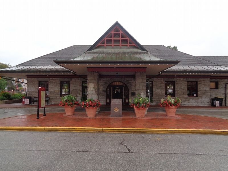
Location. 38° 34.864′ N, 90° 24.408′ W. Marker is in Kirkwood, Missouri, in St. Louis County. Marker is on West Argonne Drive just west of South Kirkwood Road (U.S. 61/67), on the right when traveling east. Marker is posted on the building of the Kirkwood Amtrak Station, near the entrance and under shelter. Touch for map. Marker is at or near this postal address: 110 West Argonne Drive, Saint Louis MO 63122, United States of America. Touch for directions.
Other nearby markers. At least 8 other markers are within walking distance of this marker. Argonne Drive (here, next to this marker); Remembering the Achievements of James P. Kirkwood (within shouting distance of this marker); Kirkwood City Council Shooting Memorial (within shouting distance of this marker); To Those Who Gave Their Lives In The Struggle For Freedom (within shouting distance of this marker); Vietnam (within shouting distance of this marker); a different marker also named Vietnam (within shouting distance of this marker); First Presbyterian Church of Kirkwood (about 800 feet away, measured in a direct line); James R. Shanks, Chaplain, 1st. Lt. (approx. 0.2 miles away). Touch for a list and map of all markers in Kirkwood.
Regarding Kirkwood Depot. In 1852, Kirkwood became the first planned suburb west of the Mississippi, mainly because of the newly-built railroad. It was named after the railroad's chief engineer, James Pugh Kirkwood. The station was listed on the National Register of Historic Places on July 5, 1985. In 2002, dedicated volunteers helped stop the station from being closed. To this day, Kirkwood remains a regular Amtrak stop and is the third-busiest Amtrak station in Missouri.
Also see . . . Kirkwood Station on Wikipedia
. (Submitted on October 10, 2019, by Jason Voigt of Glen Carbon, Illinois.)
Credits. This page was last revised on October 10, 2019. It was originally submitted on October 10, 2019, by Jason Voigt of Glen Carbon, Illinois. This page has been viewed 242 times since then and 18 times this year. Photos: 1, 2. submitted on October 10, 2019, by Jason Voigt of Glen Carbon, Illinois. • Devry Becker Jones was the editor who published this page.

