Near Nezperce in Lewis County, Idaho — The American West (Mountains)
Lewis and Clark
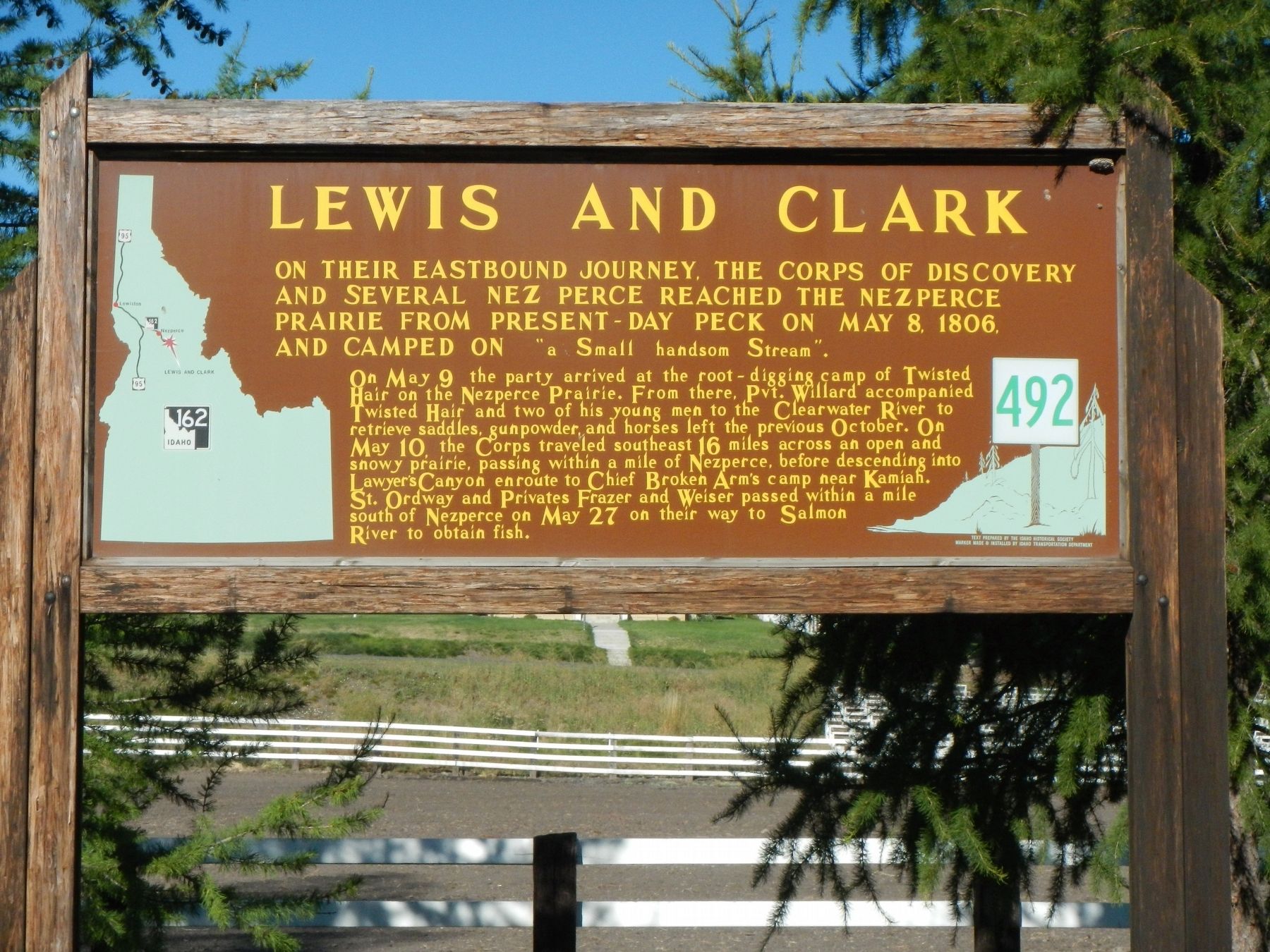
On May 9 the party arrived at the root-digging camp of Twisted Hair on the Nezperce Prairie. From here, Pvt. Willard accompanied Twisted Hair and two of his young men to the Clearwater River to retrieve saddles, gunpowder and horses left the previous October. On May 10, the Corps traveled southeast 16 miles across an open and snowy prairie, passing within a mile of Nezpearce, before descending into Lawyers Canyon enroute to Chief Broken Arm's camp near Kamiah. St. Ordway and Privates Frazer and Weiser passed within a mile south of Nezperce on May 27 on their way to Salmon River to obtain fish.
Erected by Idaho Historical Society, Idaho Department of Transportation. (Marker Number 492.)
Topics and series. This historical marker is listed in this topic list: Exploration. In addition, it is included in the Idaho State Historical Society series list. A significant historical date for this entry is May 8, 1806.
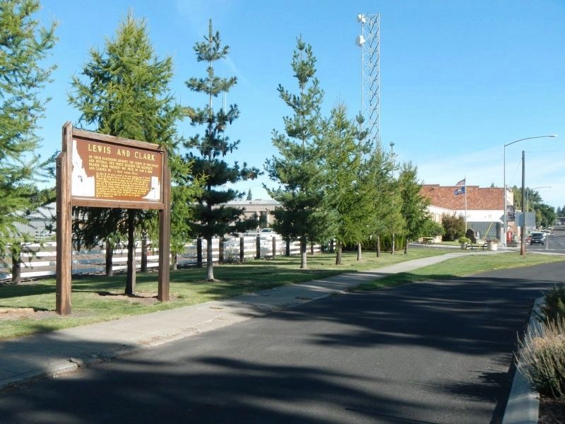
Location. 46° 13.948′ N, 116° 14.436′ W. Marker is near Nezperce, Idaho, in Lewis County. Marker is at the intersection of Oak Street (State Highway 162) and 6th Avenue, on the left when traveling north on Oak Street. Touch for map. Marker is in this post office area: Nezperce ID 83543, United States of America. Touch for directions.
Other nearby markers. At least 8 other markers are within 15 miles of this marker, measured as the crow flies. Camas Prairie (approx. 7˝ miles away); Railroad Trestles (approx. 8.6 miles away); Lawyer's Canyon (approx. 8.6 miles away); a different marker also named Lewis and Clark (approx. 8.6 miles away); Gold Rush Historic Byway (approx. 10.6 miles away); Gold Rush Ferry (approx. 10.6 miles away); Fraser Park (approx. 14.1 miles away); Fraser (approx. 14.2 miles away).
Credits. This page was last revised on October 11, 2019. It was originally submitted on October 11, 2019, by Barry Swackhamer of Brentwood, California. This page has been viewed 198 times since then and 17 times this year. Photos: 1, 2. submitted on October 11, 2019, by Barry Swackhamer of Brentwood, California.

