Carthage in Leake County, Mississippi — The American South (East South Central)
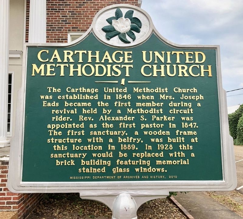
Carthage United Methodist Church
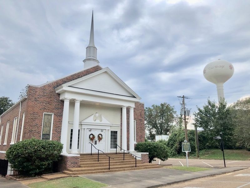
The Carthage United Methodist Church was established in 1846 when Mrs. Joseph Eads became the first member during a revival held by a Methodist circuit rider. Rev. Alexander S. Parker was appointed as the first pastor in 1847. The first sanctuary, a wooden frame structure with a belfry, was built at this location in 1889. In 1928 this sanctuary would be replaced with a brick building featuring memorial stained glass windows.
Erected 2010 by Mississippi Department of Archives and History.
Topics and series. This historical marker is listed in this topic list: Churches & Religion. In addition, it is included in the Mississippi State Historical Marker Program series list. A significant historical year for this entry is 1846.
Location. 32° 44.256′ N, 89° 31.929′ W. Marker is in Carthage, Mississippi, in Leake County. Marker is at the intersection of East Franklin Street and North St. Matthew Street, on the right when traveling east on East Franklin Street. Touch for map. Marker is at or near this postal address: 201 East Franklin Street, Carthage MS 39051, United States of America. Touch for directions.
Other nearby markers. At least 8 other markers are within 17 miles of this marker, measured as the crow flies. Eads-Mansell-Sudduth House (approx. 0.2 miles away); Carthage City Cemetery (approx. 0.2 miles away); Red Dog Road (approx. 9.4 miles away); Robinson Road (approx. 10.4 miles away); Forest Grove Presbyterian Church (approx. 10˝ miles away); Walnut Grove Methodist Church (approx. 10.7 miles away); Meet the Beaver (approx. 10.9 miles away); Leake County Revelers (approx. 16.2 miles away). Touch for a list and map of all markers in Carthage.
Also see . . . The Story of the Carthage United Methodist Church. Church website entry (Submitted on October 11, 2019, by Mark Hilton of Montgomery, Alabama.)
Credits. This page was last revised on June 13, 2022. It was originally submitted on October 11, 2019, by Mark Hilton of Montgomery, Alabama. This page has been viewed 182 times since then and 24 times this year. Photos: 1, 2. submitted on October 11, 2019, by Mark Hilton of Montgomery, Alabama.

