Old Town in Alexandria, Virginia — The American South (Mid-Atlantic)
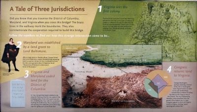
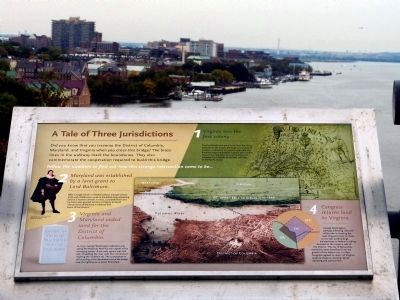
A Tale of Three Jurisdictions
Follow the numbers to find out how this intersection came to be...
1. Virginia was the first colony.
The first British land grant in the new world was extended by the King to the Virginia Company of London, a collection of court favorites that had financed ocean exploration. Captain John Smith's map of 1612 laid claim to vast territory that stretched from Florida to Canada, and west to the Pacific Ocean.
2. Maryland was established by a land grant to Lord Baltimore.
After a single winter in Newfoundland, George Calvert, First Lord of Baltimore, wrote the British King requesting land in a warmer climate. In 1632, Lord Baltimore and his heirs were granted territory in Virginia to found "the province of Mariland in memory and honor of the Queene."
3. Virginia and Maryland ceded land for the District of Columbia.
In 1790, George Washington selected a site along the Potomac River for the capital of the emerging nation. A ten-mile square was laid out, straddling the river, with this cornerstone marking the southern tip. The cornerstone is still standing at the Alexandria end of the bridge, near the lighthouse in Jones Point.
4. Congress returns land to Virginia.
George Washington perhaps silencing criticism of his role in locating the seat of government so close to his vast landholdings, insisted that no federal building be sited on the Virginia side of the District. The city of Alexandria, therefore, never benefited from the growth of the federal city. In 1846, Congress agreed to return all Virginia lands to Virginia, eliciting "great rejoicing and cannon fire."
Topics and series. This historical marker is listed in these topic lists: Government & Politics • Settlements & Settlers. In addition, it is included in the Original Federal Boundary Stones series list. A significant historical year for this entry is 1612.
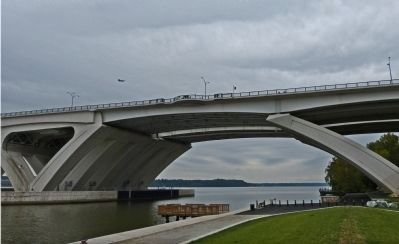
Location. 38° 47.582′ N, 77° 2.339′ W. Marker is in Alexandria, Virginia. It is in Old Town. Marker can be reached from Capital Beltway (Interstate 95/495) 0.8 miles east of Richmond Highway (U.S. 1), on the left when traveling north. On the Woodrow Wilson Memorial bridge, in a wayside on the bridge walkway near the 1.1 mile mark. Touch for map. Marker is in this post office area: Alexandria VA 22314, United States of America. Touch for directions.
Other nearby markers. At least 8 other markers are within walking distance of this marker. The Race to Build Ships on Jones Point (within shouting distance of this marker); Mountains of Materials and Massive Manpower (about 400 feet away, measured in a direct line); The Fitting-Out Dock (about 600 feet away); World War I-Era Rudder (about 700 feet away); A World War I Shipyard Transforms Jones Point (about 700 feet away); Potomac Connections (about 700 feet away); Welcome to Jones Point Park (about 700 feet away); A New Nation's Capital (about 700 feet away in Maryland). Touch for a list and map of all markers in Alexandria.
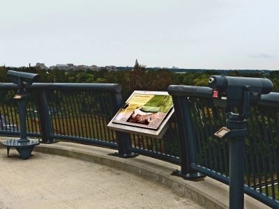
More about this marker. In westbound I-495 pedestrian walkway over the bridge.
Additional keywords. Original Federal Boundary Stones Marker Series
Credits. This page was last revised on January 29, 2023. It was originally submitted on October 9, 2012, by Allen C. Browne of Silver Spring, Maryland. This page has been viewed 1,136 times since then and 41 times this year. Last updated on October 12, 2019, by Roberto Bernate of Arlington, Virginia. Photos: 1, 2, 3, 4, 5. submitted on October 9, 2012, by Allen C. Browne of Silver Spring, Maryland. 6, 7. submitted on October 12, 2012, by Allen C. Browne of Silver Spring, Maryland. • Devry Becker Jones was the editor who published this page.
