
Downtown in St. Louis, Missouri — The American Midwest (Upper Plains)
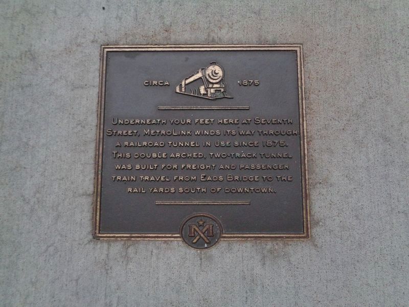
Circa 1875
Photographed by Jason Voigt, October 15, 2019
1. Circa 1875 Marker
Sidewalk plaque
Topics. This historical marker is listed in this topic list: Railroads & Streetcars. A significant historical year for this entry is 1875.
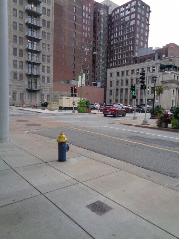
Location. 38° 37.751′ N, 90° 11.454′ W. Marker is in St. Louis, Missouri. It is in Downtown. It is on North 7th Street just north of Locust Street, on the right when traveling north. Marker is a sidewalk plaque that sits outside the 7th Street Parking Garage, and is across the street from the Thompson Coburn LLC building and its outdoor plaza. Touch for map. Marker is at or near this postal address: 635 Locust Street, Saint Louis MO 63101, United States of America. Touch for directions.

Regionally, this marker is in the American Midwest, in the Lewis & Clark Corridor, in the Corn Belt, and in the Great River Road Region. Globally, it is in North America, the Western Hemisphere, the Western World, and the Anglosphere. Historically,
this page online
Other nearby markers. At least 8 other markers are within walking distance of this marker: Circa 1976 (about 300 feet away, measured in a direct line); Circa 1910 (about 400 feet away); William Tecumseh Sherman (about 600 feet away); Wainwright Building (about 700 feet away); William Clark died at this site (about 800 feet away); Rue Quicapou (approx. 0.2 miles away); Federal Reserve Bank of St. Louis (approx. 0.2 miles away); Teenager Samuel Clemens (approx. 0.2 miles away). Touch for a list and map of all markers in St. Louis.
More about this marker. This is one of three sidewalk plaques along North 7th Street, which are part of the Mercantile Exchange (MX) District series.
Photographed by Jason Voigt, October 15, 2019
2. Circa 1875 Marker
Intersection of 7th and Locust Streets is in the background
Credits. This page was last revised on January 30, 2023. It was originally submitted on October 17, 2019, by Jason Voigt of Glen Carbon, Illinois. This page has been viewed 295 times since then and 11 times this year. Photos: 1, 2. submitted on October 17, 2019, by Jason Voigt of Glen Carbon, Illinois. • Devry Becker Jones was the editor who published this page.
