Baltic in Sprague in New London County, Connecticut — The American Northeast (New England)
Sprague
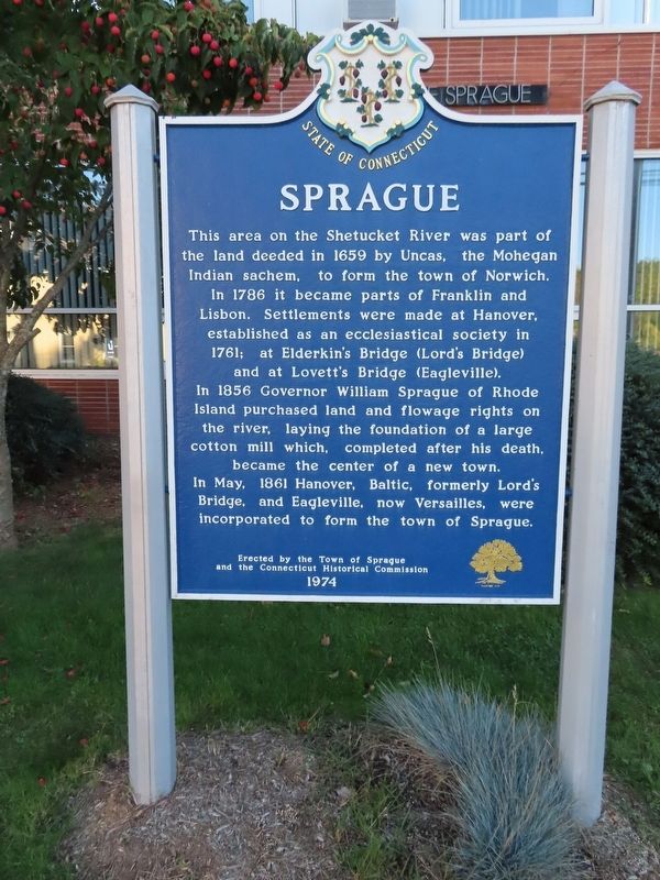
This area on the Shetucket River was part of the land deeded in 1659 by Uncas, the Mohegan Indian sachem, to form the town of Norwich. In 1786 it became parts of Franklin and Lisbon. Settlements were made at Hanover, established as an ecclesiastical society in 1761; at Elderkin's Bridge (Lord's Bridge) and at Lovett's Bridge (Eagleville). In 1856 Governor William Sprague of Rhode Island purchased land and flowage rights on the river, laying the foundation of a large cotton mill which, completed after his death, became the center of a new town. In May, 1861 Hanover, Baltic, formerly Lord's Bridge, and Eagleville, now Versailles, were incorporated to form the town of Sprague.
and the Connecticut Historical Commission
1974
Erected 1974.
Topics. This historical marker is listed in this topic list: Settlements & Settlers. A significant historical month for this entry is May 1861.
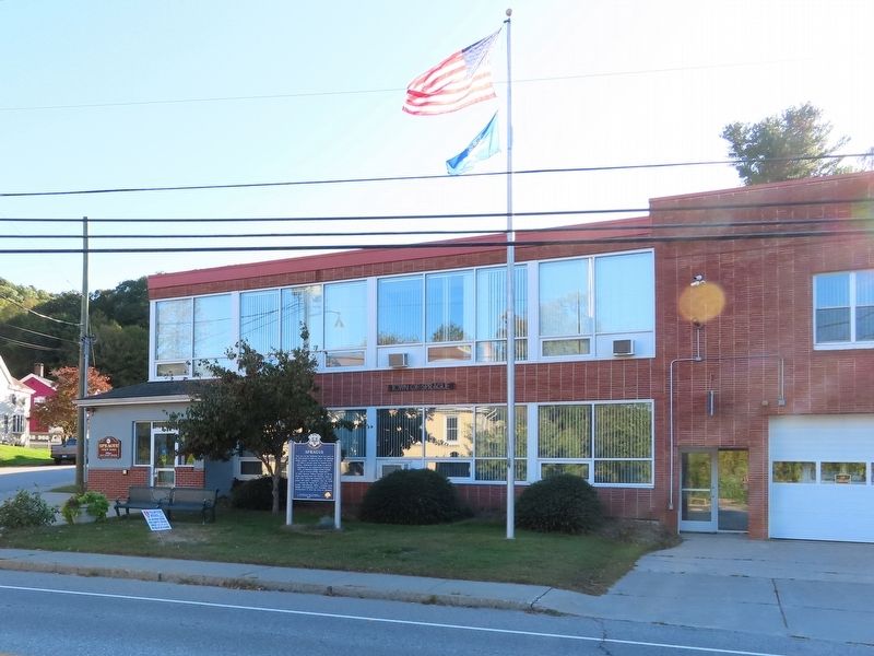
Location. 41° 36.985′ N, 72° 5.054′ W. Marker is in Sprague, Connecticut, in New London County. It is in Baltic. Marker is at the intersection of Main Street (Connecticut Route 97) and W Main Street (Connecticut Route 207), on the left when traveling west on Main Street. Located in front of Sprague Town Hall. Touch for map. Marker is at or near this postal address: 1 Main Street, Baltic CT 06330, United States of America. Touch for directions.
Other nearby markers. At least 8 other markers are within walking distance of this marker. Sprague Veterans Memorial (about 400 feet away, measured in a direct line); Sprague Korean War Monument (about 400 feet away); Sprague Vietnam War Monument (about 400 feet away); Sprague World War I Monument (about 400 feet away); Sprague Veterans Monument (about 400 feet away); Sprague Civil War Monument (about 400 feet away); Sprague World War II Monument (about 400 feet away); Sprague’s Industrial Heritage (approx. 0.2 miles away). Touch for a list and map of all markers in Sprague.
Also see . . .
1. Town of Sprague, Connecticut. (Submitted on October 17, 2019, by Michael Herrick of Southbury, Connecticut.)
2. Sprague, Connecticut (Wikipedia). (Submitted on October 17, 2019, by Michael Herrick of Southbury, Connecticut.)
Credits. This page was last revised on February 10, 2023. It was originally submitted on October 17, 2019, by Michael Herrick of Southbury, Connecticut. This page has been viewed 199 times since then and 19 times this year. Photos: 1, 2. submitted on October 17, 2019, by Michael Herrick of Southbury, Connecticut.

