Near Georgesville in Franklin County, Ohio — The American Midwest (Great Lakes)
Stories in the Sediments
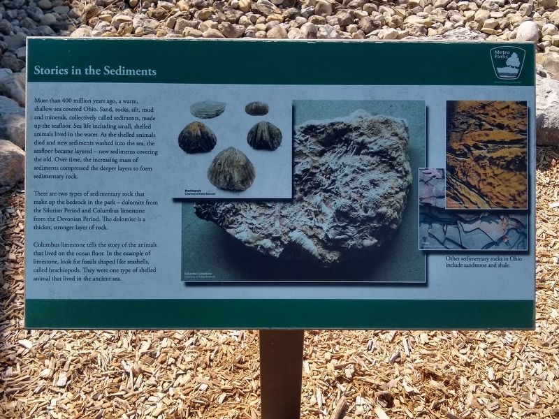
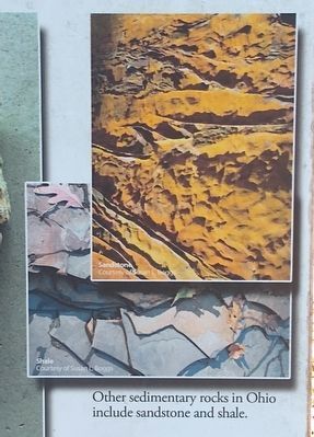
More than 400 million years ago, a warm, shallow sea covered Ohio. Sand, rocks, silt, mud and minerals, collectively called sediments, made up the seafloor. Sea life including small, shelled animals lived in the water. As the shelled animals died and new sediments washed into the sea, the seafloor became layered — new sediments covering the old. Over time, the increasing mass of sediments compressed the deeper layers to form sedimentary rock.
There are two types of sedimentary rock that make up the bedrock in the park — dolomite from the Silurian Period and Columbus limestone from the Devonian Period. The dolomite is a thicker, stronger layer of rock.
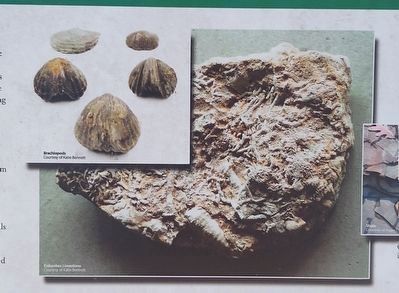
Columbus limestone tells the story of the animals that lived on the ocean floor. In the example of limestone, look for fossils shaped like seashells, called brachiopods. They were one type of shelled animal that lived in the ancient sea.
Erected by Columbus and Franklin County Metro Parks.
Topics. This historical marker is listed in this topic list: Environment.
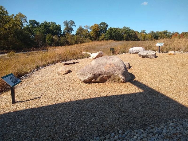
Location. 39° 54.767′ N, 83° 13.083′ W. Marker is near Georgesville, Ohio, in Franklin County. Marker can be reached from Jack McDowell Way, half a mile west of Darby Creek Drive. Marker is next to the nature center in Battelle Darby Creek Metro Park. Touch for map. Marker is at or near this postal address: 1775 Darby Creek Drive, Galloway OH 43119, United States of America. Touch for directions.
Other nearby markers. At least 8 other markers are within 3 miles of this marker, measured as the crow flies. The Glaciers Did It (a few steps from this marker); Back to the Same Old Grind (within shouting distance of this marker); A Valley Is Born (approx. 0.9 miles away); Big Darby Creek (approx. 0.9 miles away); Ice Over Ohio (approx. 0.9 miles away); Big Darby and Little Darby Creeks (approx. 1.3 miles away); A Valley is Born (approx. 2.1 miles away); The Voss Site (approx. 2.3 miles away). Touch for a list and map of all markers in Georgesville.
Also see . . . Columbus Limestone. Wikipedia article (Submitted on October 21, 2019, by Joel Seewald of Madison Heights, Michigan.)
Credits. This page was last revised on October 22, 2019. It was originally submitted on October 21, 2019, by Joel Seewald of Madison Heights, Michigan. This page has been viewed 182 times since then and 14 times this year. Photos: 1, 2, 3, 4. submitted on October 21, 2019, by Joel Seewald of Madison Heights, Michigan.


