Near Georgesville in Franklin County, Ohio — The American Midwest (Great Lakes)
The Glaciers Did It
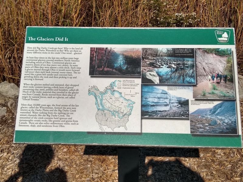
How did Big Darby Creek get here? Why is the land all around the Darby Watershed so flat? Why are there so many different rocks in the creek? One word...glaciers!
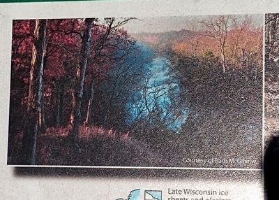
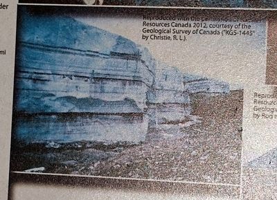
At least four times in the last two million years large continental glaciers covered northern North America including much of Ohio. Continental glaciers are massive sheets of ice that move very slowly. In some parts of Ohio they were almost a mile thick. Each time a glacier moved through Ohio it would move forward (advance) then melt back (retreat) many times. The ice acted like a giant belt sander and conveyer belt, grinding down the rock and then picking it up and carrying it forward.
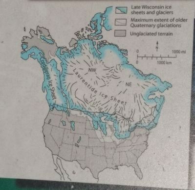
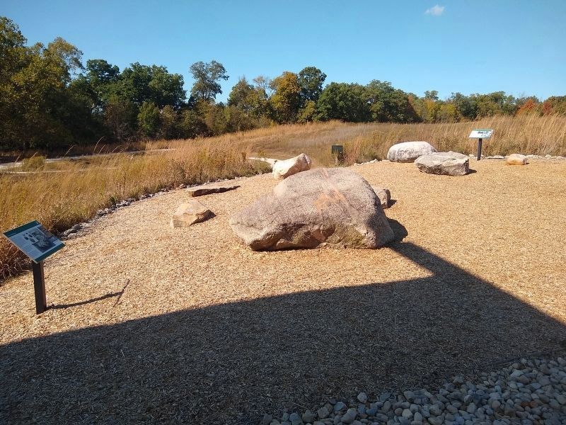
When the glaciers melted and retreated, they dropped their rocky content leaving a thick layer of gravel containing clay, sand, pebbles and boulders, called till. Much of the rocky material that traveled in the glacier was from Canada. Rocks moved from their place of origin by natural forces, such as a glacier, are called "Glacial Erratics."
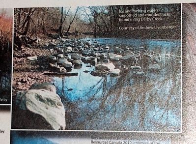
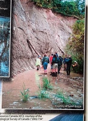
More than 10,000 years ago, the final retreat of the last glacier, called the Wisconsinan, formed the area now known as the Darby Plains and the Big Darby Creek watershed. Water rushing from the melting ice cut stream channels, like the Big Darby Creek. The streambed of the creek contains hard igneous and metamorphic erratic rocks, like granite and gneiss from Canada. There are also softer sedimentary rocks, such as limestone, shale, and sandstone from Ohio.
Erected by Columbus and Franklin County Metro Parks.
Topics. This historical marker is listed in this topic list: Environment.
Location. 39° 54.775′ N, 83° 13.083′ W. Marker is near Georgesville, Ohio, in Franklin County. Marker can be reached from Jack McDowell Way, half a mile west of Darby Creek Drive. Marker is next to the nature center in Battelle Darby Creek Metro Park. Touch for map. Marker is at or near this postal address: 1775 Darby Creek Drive, Galloway OH 43119, United States of America. Touch for directions.
Other nearby markers. At least 8 other markers are within 3 miles of this marker, measured as the crow flies. Stories in the Sediments (a few steps from this marker); Back to the Same Old Grind (a few steps from this marker); A Valley Is Born (approx. 0.9 miles away); Big Darby Creek (approx. 0.9 miles away); Ice Over Ohio (approx. 0.9 miles away); Big Darby and Little Darby Creeks (approx. 1.3 miles away); A Valley is Born (approx. 2.1 miles away); The Voss Site (approx. 2.3 miles away). Touch for a list and map of all markers in Georgesville.
Credits. This page was last revised on October 22, 2019. It was originally submitted on October 21, 2019, by Joel Seewald of Madison Heights, Michigan. This page has been viewed 176 times since then and 19 times this year. Photos: 1, 2, 3, 4, 5, 6, 7. submitted on October 21, 2019, by Joel Seewald of Madison Heights, Michigan.
