Baltic in Sprague in New London County, Connecticut — The American Northeast (New England)
Sprague’s Industrial Heritage
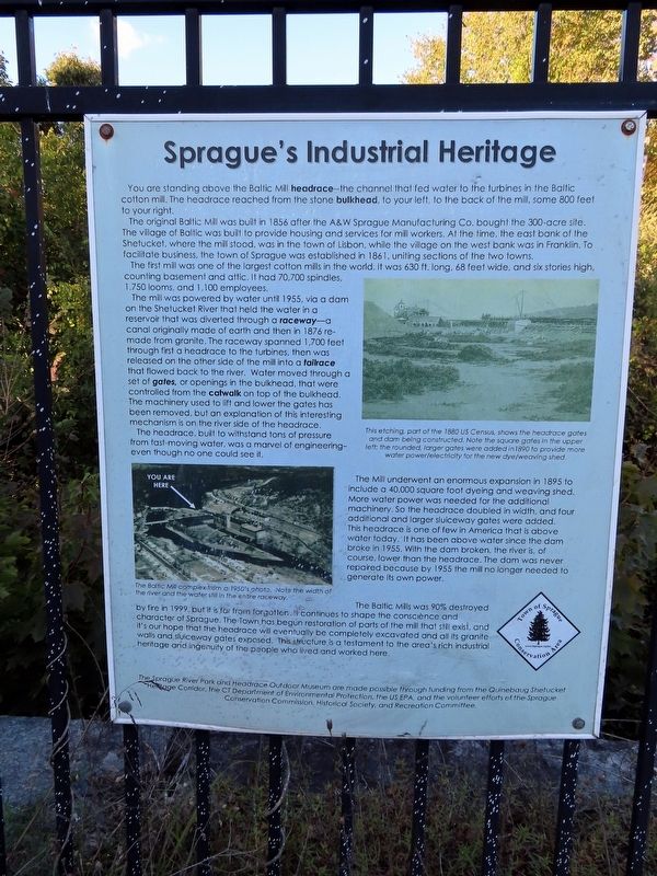
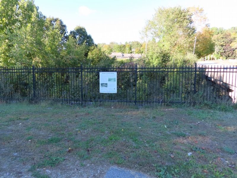
You are standing above the Baltic Mill headrace — the channel that fed water to the turbines in the Baltic cotton mill. The headrace reached from the stone bulkhead, to your left, to the back of the mill, some 800 feet to your right.
The original Baltic Mill was built in 1856 after the A&W Sprague Manufacturing Co. bought the 300-acre site. The village of Baltic was built to provide housing and services for mill workers. At the time, the east bank of the Shetucket, where the mill stood, was in the town of Lisbon, while the village on the west bank was in Franklin. To facilitate business, the town of Sprague was established in 1861, uniting sections of the two towns.
The first mill was one of the largest cotton mills in the world. It was 630 ft. long, 68 feet wide, and six stories high, counting basement and attic. It had 70,700 spindles, 1,750 looms, and 1,100 employees.
The mill was powered by water until 1955, via a dam on the Shetucket River that held the water in a reservoir that was diverted through a raceway — a canal originally made of earth and then in 1876 remade from granite. The raceway spanned 1,700 feet through first a headrace to the turbines, then was released on the other side of the mill into a tailrace that flowed back to the river. Water moved through a set of gates, or openings in the bulkhead, that were controlled from the catwalk on top of the bulkhead. The machinery used to lift and lower the gates has been removed, but an explanation of this interesting mechanism is on the river side of the headrace. The headrace, built to withstand tons of pressure from fast-moving water, was a marvel of engineering even though no one could see it.
The Mill underwent an enormous expansion in 1895 to include a 40,000 square foot dyeing and weaving shed. More water power was needed for the additional machinery. So the headrace doubled in width, and four additional and larger sluiceway gates were added. This headrace is one of few in America that is above water today. It has been above water since the dam broke in 1955. With the dam broken, the river is, of course, lower than the headrace. The dam was never repaired because by 1955 the mill no longer needed to generate its own power.
The Baltic Mills was 90% destroyed by fire in 1999, but it is far from forgotten. It continues to shape the conscience and character of Sprague. The Town has begun restoration of parts of the mill that still exist, and it's our hope that the headrace will eventually be completely excavated and all its granite sluiceway gates exposed. This structure is a testament to the area's rich industrial heritage and ingenuity of the people who lived and worked here.
The Sprague River Park and Headrace Outdoor Museum are made possible through funding from the Quinebaug Shetucket Heritage Corridor, the CT Department of Environmental Protection, the US EPA, and the volunteer efforts of the Sprague Conservation Commission, Historical Society, and Recreation Committee.
[Captions:]
This etching, part of the 1880 US Census, shows the headrace gates and dam being constructed. Note the square gates in the upper left: the rounded, larger gates were added in 1890 to provide more water power/electricity for the new dye/weaving shed.
The Baltic Mill complex from a 1950's photo. Note the width of the river and the water still in the entire raceway.
Topics. This historical marker is listed in this topic list: Industry & Commerce. A significant historical year for this entry is 1856.
Location. 41° 37.144′ N, 72° 5.042′ W. Marker is in Sprague, Connecticut, in New London County. It is in Baltic. Marker is at the intersection of Main Street (Connecticut Route 97) and Bushnell Hollow Road (Connecticut Route 138), on the left when traveling north on Main Street. Located in River Park. Touch for map. Marker is in this post office area: Baltic CT 06330, United States of America. Touch for directions.
Other nearby markers. At least 8 other markers are within walking distance of this marker. Sprague Korean War Monument (about 700 feet away, measured in a direct line); Sprague Civil War Monument (about 700 feet away); Sprague World War II Monument (about 700 feet away); Sprague Vietnam War Monument (about 700 feet away); Sprague Veterans Memorial (about 700 feet away); Sprague Veterans Monument (about 700 feet away); Sprague World War I Monument (about 700 feet away); Sprague (approx. 0.2 miles away). Touch for a list and map of all markers in Sprague.
Also see . . . A Baltic Mill Helps Found a New Town( Connecticut History.org ). (Submitted on October 22, 2019, by Michael Herrick of Southbury, Connecticut.)
Credits. This page was last revised on January 30, 2024. It was originally submitted on October 22, 2019, by Michael Herrick of Southbury, Connecticut. This page has been viewed 212 times since then and 38 times this year. Photos: 1, 2, 3. submitted on October 22, 2019, by Michael Herrick of Southbury, Connecticut.


