Winnemucca in Humboldt County, Nevada — The American Mountains (Southwest)
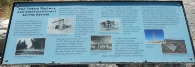
The Victory Highway and Transcontinental Airway System

Photographed By Barry Swackhamer, August 26, 2019
1. The Victory Highway and Transcontinental Airway System Marker
Captions: (left to right) Victory Highway Winnemucca, NV, ca. 1925; Overland Trail Garage, Winnemucca, NV, ca. 1925; Interior of Ed Smith's Garage, Winnemucca, NV, ca. 1936; Buckingham Station, Winnemucca, NV, ca. 1922; Polkinghorn Springs Beacon taken in 2009 by Dale Taliaferro; Concrete arrow near Lovelock, NV pointing to the next airway beacon, ca. 1928-1936.
In 1956, I-80 was authorized as part of the interstate highway system with the final segment opening in 1986. I-80 paralleled much of US 40 and incorporated portions of it. Although I-80 by-passed towns, affecting commerce in places such as Lovelock, Winnemucca faired better than most because it is conveniently located as fuel, food and rest stop between Reno and Elko.
In 1923, Congress funded a lighted airway along the transcontinental airmail route from New York to San Francisco. Lighted airway beacons provided navigational aids for nighttime flights. This reduced the time for coast-to-coast delivery of mail by two days because it was no longer necessary to transfer mail to trains for nighttime transport. Beacons were spaced 10 miles apart with closer spacing in flatter areas. Concrete arrows were used as beacon foundations - these pointed to the next beacon. Although beacons were abandoned due to changes in technology, some arrow-shaped foundations and a few standing beacons still exist.
Erected by Humboldt Museum, Bureau of Land Management.
Topics. This historical marker is listed in these topic lists: Air & Space • Roads & Vehicles.
Location. 40° 58.618′ N, 117° 44.663′ W. Marker is in Winnemucca, Nevada, in Humboldt County. Marker is on Museum Avenue near Maple Avenue, on the left when traveling west. Touch for map. Marker is at or near this postal address: 175 Museum Avenue, Winnemucca NV 89445, United States of America. Touch for directions.
Other nearby markers. At least 8 other markers are within walking distance of this marker. Railroads and Telegraphs (here, next to this marker); Explorers and Mountain Men (here, next to this marker); The California Trail (here, next to this marker); Winnemucca and the Humboldt River Corridor (here, next to this marker); The Humboldt River (here,
next to this marker); Pioneer Memorial Park (approx. 0.2 miles away); Winneva Building (approx. 0.4 miles away); California Trail - Trading Post (approx. half a mile away). Touch for a list and map of all markers in Winnemucca.
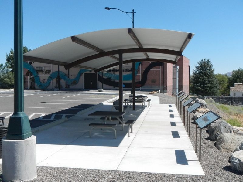
More about this marker. This marker is located at the overlook at the Humboldt Museum.
Credits. This page was last revised on October 22, 2019. It was originally submitted on October 22, 2019, by Barry Swackhamer of Brentwood, California. This page has been viewed 192 times since then and 16 times this year. Photos: 1, 2. submitted on October 22, 2019, by Barry Swackhamer of Brentwood, California.
