Cumberland Township near Gettysburg in Adams County, Pennsylvania — The American Northeast (Mid-Atlantic)
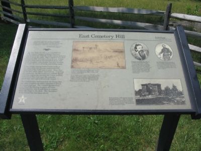
East Cemetery Hill
July 2, 1863 - Second Day
"The enemy stood with a tenacity never before displayed by them, but with bayonet, clubbed musket, sword and pistol, and rocks from the wall, we cleared the heights and silenced the guns."
Maj. Samuel McD. Tate, C.S.A.
6th North Carolina Infantry
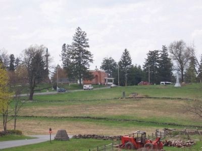
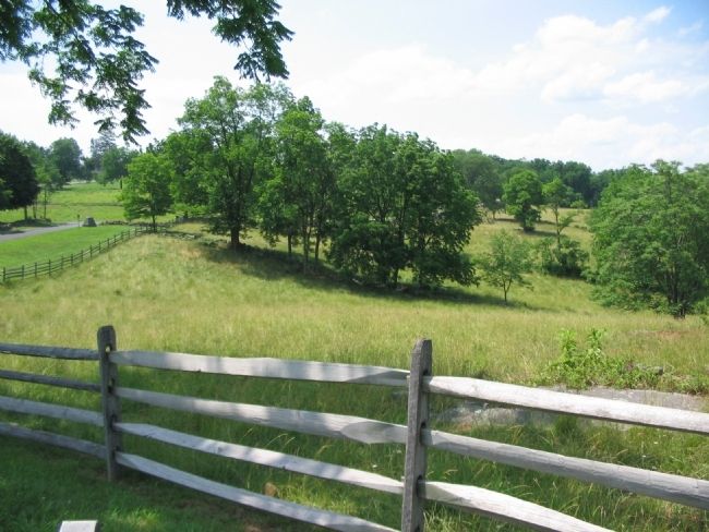
About dusk on July 2, two Confederate infantry brigades of Early's Division appeared in line of battle on the rolling pastures below you to the right. Their objective was East Cemetery Hill, 1/4 mile in front of you. Union cannon here and on the hill raked them with shell, shrapnel, and canister, but they pressed on under the cover of smoke and falling night.
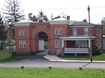
Union troops waiting behind stone walls at the base of the hill became unnerved at the approach of the 2,500 men in gray. Some fled up the hill, while others surrendered. Crushing all resistance, the 9th Louisiana and 6th North Carolina regiments stormed the Union artillery batteries at the crest near the cemetery gatehouse, and captured several cannon.
The Confederates had breached the Union line, but other Confederate units expected to attack in concert had not. The isolated Southerners soon faced the blazing muskets of Union reinforcements, who forced them to retreat down the slope in the dark. The "keystone" of the Union line had been saved.
Topics. This historical marker is listed in this topic list: War, US Civil. A significant historical date for this entry is July 2, 1863.
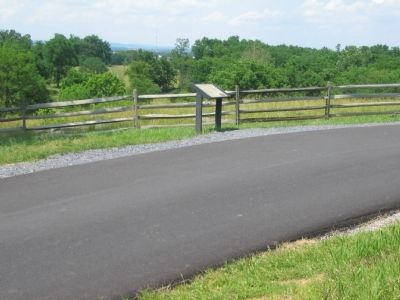
Location. This marker has been replaced by another marker nearby. It was located near 39° 49.174′ N, 77° 13.49′ W. Marker was near Gettysburg, Pennsylvania, in Adams County. It was in Cumberland Township. Marker was on Slocum Avenue, on the right when traveling west. Located on the Stevens Knoll section of the Gettysburg National Battlefield Park. Touch for map. Marker was in this post office area: Gettysburg PA 17325, United States of America. Touch for directions.
Other nearby markers. At least 8 other markers are within walking distance of this location. Attack on East Cemetery Hill (here, next to this marker); Stevens' Battery (within shouting distance of this marker); Major General Henry Warner Slocum, U.S.V. (within shouting distance of this marker); 24th Regiment Michigan Volunteer Infantry (about 300 feet away, measured in a direct line); The Thirty Third Massachusetts Infantry (about 400 feet away); 7th Wisconsin Volunteer Infantry (about 400 feet away); 18th Miss. Inf. (about 500 feet away); 2nd Wisconsin Regiment (about 600 feet away). Touch for a list and map of all markers in Gettysburg.
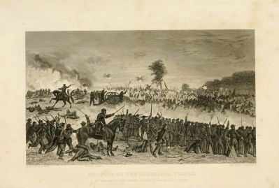
More about this marker. In the center is a drawing captioned: Confederate infantry assault East Cemetery Hill in this wartime sketch by Edwin Forbes. Union artillery emplacements are seen in front of the cemetery gatehouse. The Confederates lost more than 350 men in the attack. Col. Isaac E. Avery, commanding Hoke's brigade of North Carolinians, was shot from his saddle at the base of the hill. Before he died he scrawled a note to his father: "Tell them I died with my face towards the enemy."
In the upper right are two portraits:
Confederate Brig. Gen. Henry T. Hays led his crack brigade, the "Louisiana Tigers," up East Cemetery Hill where they fought hand-to-hand with the stubborn Union cannoneers. "Arriving at the summit, by a simultaneous rush from my whole line, I captured several pieces of artillery, four stand of colors, and a number of prisoners.
Col. Wladimir Krzyanowski a Polish-German immigrant, helped to recruit fellow immigrants for the Union Army. His men, with those of Col. Samuel S. Carroll, came to the rescue of East Cemetery Hill on the night of July 2.
In the lower right is a photo of the Brick gatehouse of Evergreen Cemetery photographed July 7, 1863, by Timothy O'Sullivan. Note the broken windows and the earthworks (foreground) thrown up by Union cannoneers. The gatehouse is visible from here today.
Related marker. Click here for another marker that is related to this marker. New Marker at this Location titled "Attack on East Cemetery Hill".
Also see . . . East Cemetery Hill. National Park Service virtual tour stop. (Submitted on December 5, 2008, by Craig Swain of Leesburg, Virginia.)
Credits. This page was last revised on February 5, 2024. It was originally submitted on December 5, 2008, by Craig Swain of Leesburg, Virginia. This page has been viewed 1,353 times since then and 22 times this year. Photos: 1. submitted on December 5, 2008, by Craig Swain of Leesburg, Virginia. 2, 3. submitted on March 12, 2012, by Denise Boose of Tehachapi, California. 4, 5. submitted on December 5, 2008, by Craig Swain of Leesburg, Virginia. 6. submitted on January 16, 2010, by Henry T. McLin of Hanover, Pennsylvania.
