Historisches Rathaus / Old City Hall
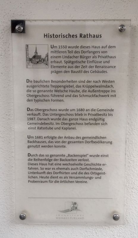
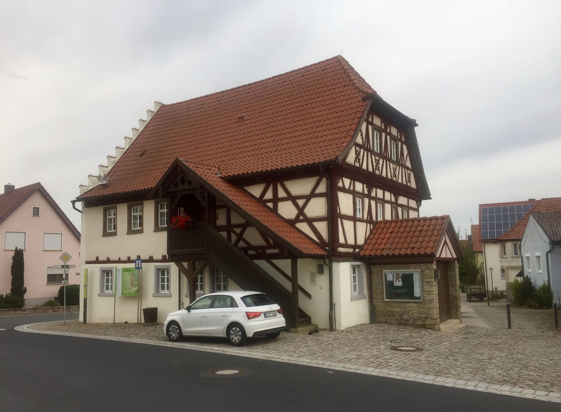
Die baulichen Besonderheiten sind der nach Westen ausgerichtete Treppengiebel, das Krüppelwalmdach, die so genannte Welsche Haube, die Außentreppe ins Obergeschoss führend und das Schmuckfachwerk mit den typischen Formen.
Das Obergeschoss wurde um 1680 an die Gemeinde verkauft. Das Untergeschoss blieb in Privatbes itz bis 1987. Danach wurde das ganze Haus endgültig Gemeindebesitz. Im Obergeschoss befanden sich einst Ratsstube und Kaplanei.
Um 1681 erfolgte der Anbau des gemeindlichen Backhauses, das von der gesamten Dorfbevölkerung genutzt werden konnte.
Durch das so genannte „Backenspiel” wurde einst die Reihenfolge der Backzeiten verlost. Dieses Haus hat eine wechselvolle Geschichte er- fahren. So war es ehemals auch Dorfschmiede, Unterkunft des Dorfhirten und die des Ortsgeist- lichen. Heute dient es als Versammlungs- und Probenraum für die örtlichen Vereine.
-
Around 1550 this house was built on the
middle part of the village commons by
a Lindach citizen for use as a private house. Late Gothic influences and
Renaissance elements of the time
influence the architectural style of the building.
Notable structural features are the west-aligned gables, the hipped roof,
the so-called Welsh hood, the external staircase leading into the upper floor,
and the decorative framework.
Around 1680 the upper floor was sold to the community. The lower floor remained under private ownership until
1987, when the whole house finally became
community property. Upstairs there was once a council room and chaplain's office.
Around 1681 there was the addition of the communal baking house, which could be used by the entire village population.
Through the so-called "baking game" the baking time slots were raffled off. The house has a rich and varied history, as it was also housed the village smithy, and was also used as lodgings for local shepherds and for priests making their rounds. Today it serves as a meeting and gathering place for local clubs and associations.
Topics. This historical marker is listed in these topic lists: Architecture • Industry & Commerce. A significant historical year for this entry is 1550.
Location. 49° 55.61′ N, 10° 12.15′ E. Marker
Other nearby markers. At least 8 other markers are within 3 kilometers of this marker, measured as the crow flies. Dorfgasthaus Zum Löwen / "At the Lions" Village Inn (within shouting distance of this marker); Dorfkirche Lindach / Lindach Village Church (within shouting distance of this marker); Dorfkapelle Lindach / Lindach Village Chapel (approx. 0.3 kilometers away); Ehemaliger Klosterhof mit historischer Weinkelter / Former Monastery Building and Historic Winepress (approx. 2.5 kilometers away); Weinbauchronik von Stammheim / Stammheim Viniculture Timeline (approx. 2.5 kilometers away); Franz Herbert (approx. 2.5 kilometers away); Wein-Kult Tour bei Stammheim / Wine Cult-Tour in Stammheim (approx. 2.5 kilometers away); Das Historisches Rathaus / The Historic Town Hall (approx. 2.6 kilometers away). Touch for a list and map of all markers in Lindach.
Credits. This page was last revised on January 28, 2022. It was originally submitted on October 23, 2019, by Andrew Ruppenstein of Lamorinda, California. This page has been viewed 86 times since then and 5 times this year. Photos: 1, 2. submitted on October 23, 2019, by Andrew Ruppenstein of Lamorinda, California.

