Sheridan in Madison County, Montana — The American West (Mountains)
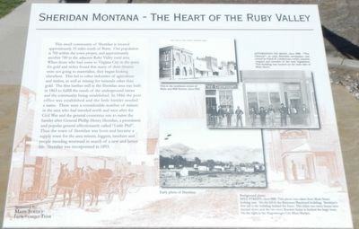
Sheridan Montana - The Heart of the Ruby Valley
Photographed by Barry Swackhamer, August 12, 2019
1. Sheridan Montana - The Heart of the Ruby Valley Marker
Captions: (top center) This is the southeast corner of Main and Mill Streets, circa 1910.; (top right) Afternoon on Main, circa 1900. "The Chinook" an early Sheridan newspaper, was owned by Frank B. Linderman, writer, essayist, trapper and member of the state legislature. This building was located on the west side of Main Street,; (bottom center) Early photo of Sheridan; (background photo) Mill Street, circa 1900. This photo was taken from Main Street looking east. On the left is the Bateman/Raymond building. Sheridan's first jail is the building behind the fence. The white two-story house later burned down and the two story Rossiter home is behind the large trees. On the right is the Hagenberger City Meat Market.
this page online
Erected by Main Street Improvement Team.
Topics. This historical marker is listed in this topic list: Settlements & Settlers. A significant historical year for this entry is 1863.
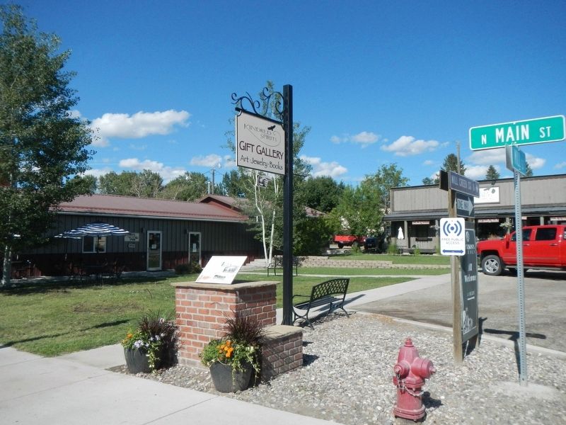
Location. 45° 27.387′ N, 112° 11.835′ W. Marker is in Sheridan, Montana, in Madison County. It is at the intersection of North Main Street (State Highway 287) and Mill Street, on the right when traveling north on North Main Street. Touch for map. Marker is at or near this postal address: 108 North Main Street, Sheridan MT 59749, United States of America. Touch for directions.

Regionally, this marker is in Southwest Montana, in Gold West Country, in Mining Country and in Greater Bozeman. It is also in the American Mountain West and in the Lewis & Clark Corridor. Globally, it is in North America, the Rocky Mountains, the Western Hemisphere, the Western World, and the Anglosphere. Historically, it finds itself in what was once Rupert’s Land and also the Louisiana Purchase.
Other nearby markers. At least 8 other markers are within 9 miles of this marker, measured as the crow flies: Bethel United Methodist Church (about 700 feet away,
Photographed by Barry Swackhamer, August 12, 2019
2. Sheridan Montana - The Heart of the Ruby Valley Marker
Credits. This page was last revised on October 23, 2019. It was originally submitted on October 23, 2019, by Barry Swackhamer of Brentwood, California. This page has been viewed 1,091 times since then and 73 times this year. Photos: 1, 2. submitted on October 23, 2019, by Barry Swackhamer of Brentwood, California.
