
Saint George's Hundred in Middletown in New Castle County, Delaware — The American Northeast (Mid-Atlantic)
Louis L. Redding Comprehensive High School
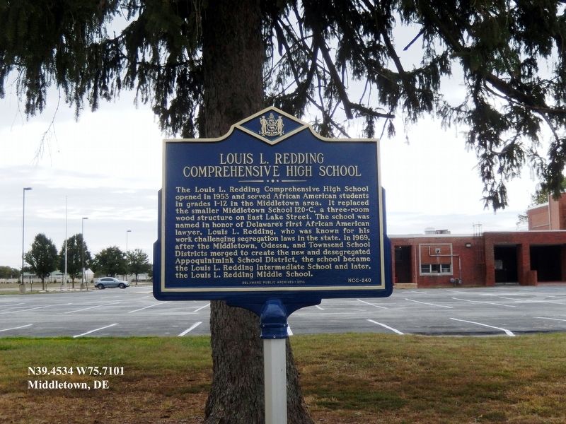
Photographed by Don Morfe, October 13, 2019
1. Louis L. Redding Comprehensive High School Marker
Erected 2018 by Delaware Public Archives. (Marker Number NCC-240.)
Topics and series. This historical marker is listed in these topic lists: African Americans • Civil Rights • Education. In addition, it is included in the Delaware Public Archives series list. A significant historical year for this entry is 1953.
Location. 39° 27.204′ N, 75° 42.606′ W. Marker is in Middletown, Delaware, in New Castle County. It is in Saint George's Hundred. It is on East Lake Street. The marker is on the E. Lake Street side of the
this page online

Regionally, this marker is in Delaware’s Southern New Castle County, in Greater Wilmington and in Greater Philadelphia. It is also in the American Mid-Atlantic, on the Delmarva Peninsula, and on the Eastern Seaboard. Globally, it is in the North Atlantic Region, North America, the Western Hemisphere, the Western World, and the Anglosphere. Historically, it finds itself in what was once New Netherland and also one of the original Thirteen Colonies.
Other nearby markers. At least 8 other markers are within walking distance of this marker: Bethesda Methodist Church (approx. 0.3 miles away); Middletown Academy (approx. 0.4 miles away); Middletown World War I Memorial (approx. 0.4 miles away); Middletown (approx. half a mile away); Witherspoon Tavern (approx. half a mile away); The Middletown Transcript (approx. half a mile away); Historical Pictures from Around Downtown (approx. half a mile away); A Brief History of Middletown (approx. half a mile away). Touch for a list and map of all markers
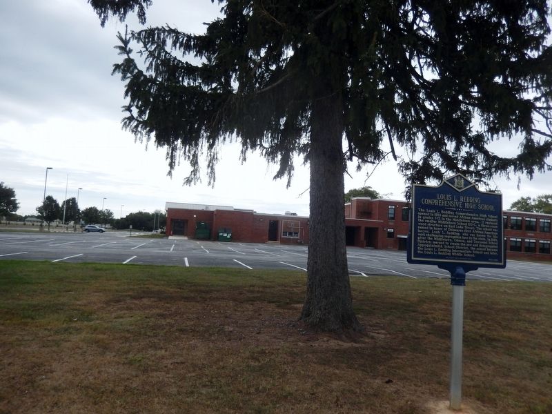
Photographed by Don Morfe, October 13, 2019
2. Louis L. Redding Comprehensive High School Marker
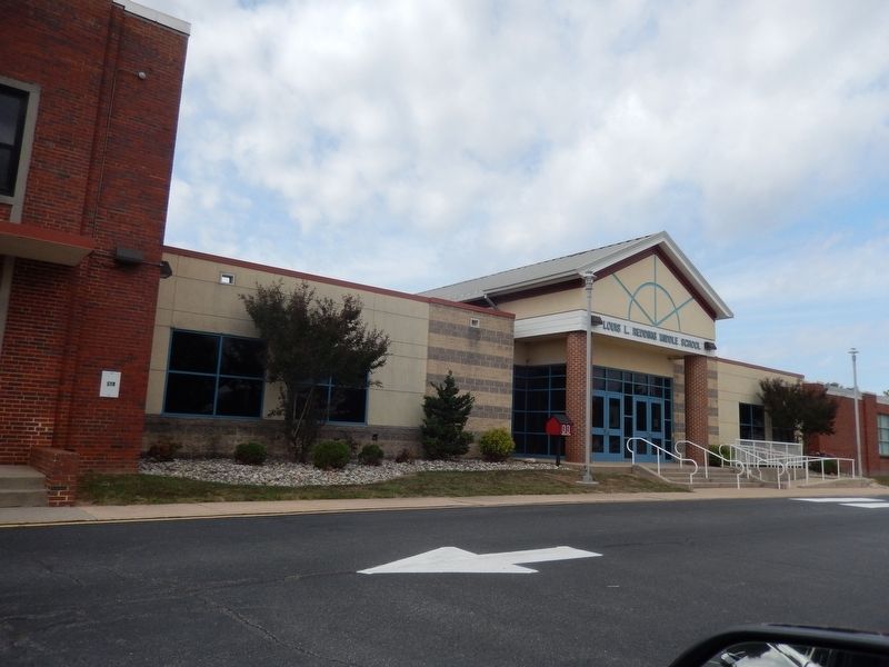
Photographed by Don Morfe, October 13, 2019
3. Louis L. Redding Comprehensive High School Marker
Credits. This page was last revised on May 20, 2026. It was originally submitted on October 23, 2019, by Don Morfe of Baltimore, Maryland. This page has been viewed 606 times since then and 24 times this year. Photos: 1, 2, 3. submitted on October 23, 2019, by Don Morfe of Baltimore, Maryland. • Bill Pfingsten was the editor who published this page.
