Near Porterville in Tulare County, California — The American West (Pacific Coastal)
Tule River Indian Reservation
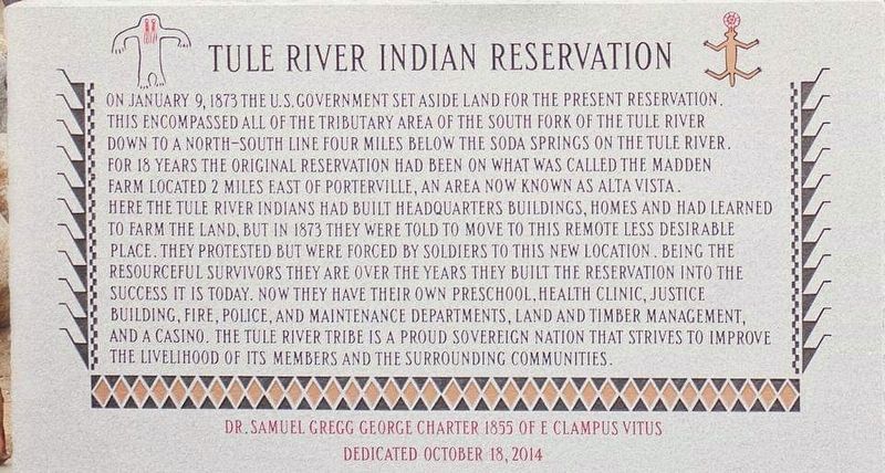
Inscription.
On January 9, 1873 the U.S. government set aside land for the present reservation. This encompassed all of the tributary area of the south fork of the Tule River down to a north-south line four miles below the Soda Springs on the Tule River. For 18 years the original reservation had been on what was called the Madden Farm located 2 miles east of Porterville, an area now known as Alta Vista. Here the Tule River Indians had built headquarters building, homes and had learned to farm the land, but in 1873 they were told to move to this remote less desirable place. They protested but were forced by soldiers to this new location. Being the resourceful survivors they are over the years they built the reservation into the success it is today. Now they have their own preschool, health clinic, justice building, fire, police, and maintenance departments, land and timber management, and a casino. The Tule River tribe is a proud sovereign nation that strives to improve the livelihood of its members and the surrounding communities.
Erected 2014 by Dr. Samuel Gregg George Chapter 1855 of E Clampus Vitus.
Topics and series. This historical marker is listed in this topic list: Native Americans. In addition, it is included in the E Clampus Vitus series list. A significant historical date for this entry is January 9, 1873.
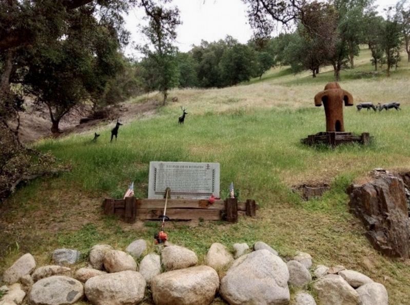
Location. 36° 1.249′ N, 118° 49.216′ W. Marker is near Porterville, California, in Tulare County. Marker is on Indian Reservation Drive, on the right when traveling east. Marker is on the right by the entrance to the reservation. Touch for map. Marker is at or near this postal address: 32999 Indian Reservation Drive, Porterville CA 93257, United States of America. Touch for directions.
Other nearby markers. At least 8 other markers are within 11 miles of this marker, measured as the crow flies. Welcome to the Tule River Indian-Reservation (here, next to this marker); Citrus South Tule School (approx. 5.1 miles away); Treaty of 1851 (approx. 6 miles away); Daunt (approx. 7.1 miles away); a different marker also named Tule River Indian Reservation (approx. 8.6 miles away); The Original Walker Pass (approx. 9.3 miles away); "El Cojo" (approx. 10.4 miles away); Fountain Springs (approx. 10.4 miles away). Touch for a list and map of all markers in Porterville.
Credits. This page was last revised on November 2, 2019. It was originally submitted on October 24, 2019, by Frank Gunshow Sanchez of Hollister, California. This page has been viewed 315 times since then and 31 times this year. Photos: 1. submitted on October 24, 2019, by Frank Gunshow Sanchez of Hollister, California. 2. submitted on October 31, 2019, by Craig Baker of Sylmar, California. • Syd Whittle was the editor who published this page.

