Dorfkapelle Lindach
⎯⎯⎯
Lindach Village Chapel
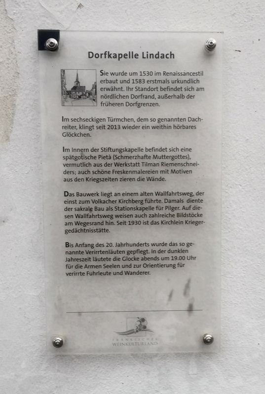
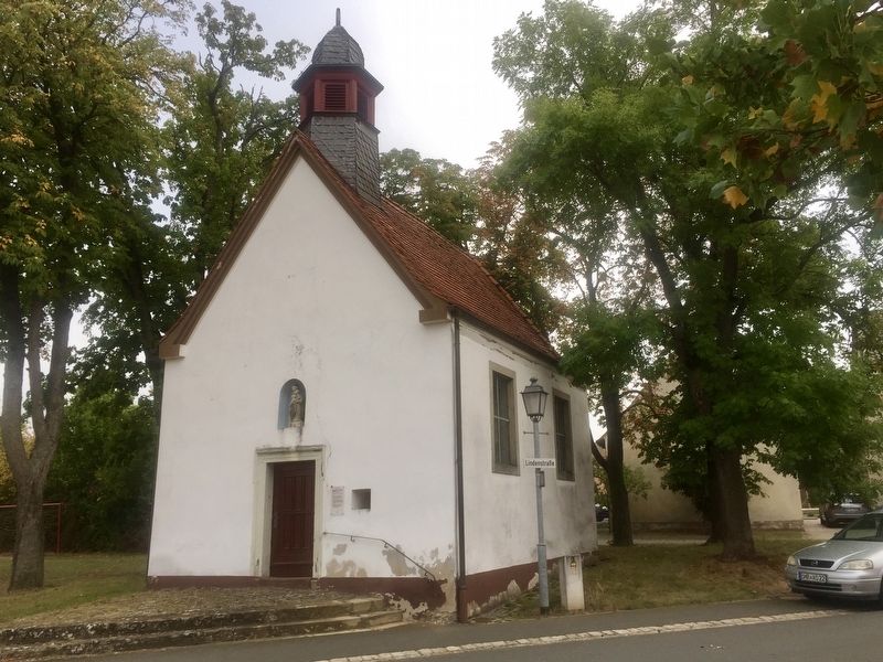
Im sechseckigen Türmchen, dem so genannten Dachreiter, klingt seit 2013 wieder ein weithin hörbares Glöckchen.
Im Innern der Stiftungskapelle befindet sich eine spätgotische Pietà (Schmerzhafte Muttergottes), vermutlich aus der Werkstatt Tilman Riemenschneiders; auch schöne Freskenmalereien mit Motiven aus den Kriegszeiten zieren die Wände.
Das Bauwerk liegt an einem alten Wallfahrtsweg, der einst zum Volkacher Kirchberg führte. Damals diente der sakrale Bau als Stationskapelle für Pilger. Auf diesen Wallfahrtsweg weisen auch zahlreiche Bildstöcke am Wegesrand hin. Seit 1930 ist das Kirchlein Kriegergedächtnisstätte.
Bis Anfang des 20. Jahrhunderts wurde das so genannte Verirrtenläuten gepflegt. In der dunklen Jahreszeit läutete die Glocke abends um 19.00 Uhr für die Armen Seelen und zur Orientierung für verirrte Fuhrleute und Wanderer.
-
(English translation:)
Built around 1530 in the Renaissance style and 1583 receives its first mention in documents. Located on the northern edge of the village, outside the former village boundaries.
In the hexagonal turret, the so-called "roof rider", a widely audible bell has sounded again since 2013.
Inside the chapel is a Late Gothic Pietà (Suffering Madonna), presumably from the workshop of Tilman Riemenschneider; also beautiful fresco paintings with motifs from the wars adorn the walls.
The building is located on an old pilgrimage route that once led to Volkacher Kirchberg. At that time, the sacred building served as a waystation for pilgrims. On this pilgrimage path there are also numerous shrines that guide one along the way. Since 1930, the church has been a
this page online
Until the beginning of the 20th century, the tradition of the so-called "straying bell" was maintained. In the dark season, the bell rang in the evening at 7 PM for the poor souls, and as orientation for lost carters and hikers.
Topics. This historical marker is listed in this topic list: Religion & Religious Structures. A significant historical year for this entry is 1530.
Location. 49° 55.749′ N, 10° 12.127′ E. Marker is in Lindach, Bayern (Bavaria), in Schweinfurt. It is on Lindenstraße. Touch for map. Marker is in this post office area: Lindach BY 97509, Germany. Touch for directions.
Regionally, it is in Europe, the European Union, Atlantic Europe, Central Europe, the Schengen Area, Western Europe, and the Western World. Historically, it finds itself in what was once the Holy Roman Empire.
Other nearby markers. At least 8 other markers are within 3 kilometers of this marker, measured as the crow flies: Historisches Rathaus / Old City Hall (approx. 0.3 kilometers away); Dorfgasthaus Zum Löwen / "At the Lions" Village Inn (approx. 0.3 kilometers away); Dorfkirche Lindach / Lindach Village Church (approx.
Credits. This page was last revised on January 28, 2022. It was originally submitted on October 24, 2019, by Andrew Ruppenstein of Lamorinda, California. This page has been viewed 157 times since then and 12 times this year. Photos: 1, 2. submitted on October 24, 2019, by Andrew Ruppenstein of Lamorinda, California.
