Marker Logo
THE HISTORICAL
MARKER DATABASE
“Bite-Size Bits of Local, National, and Global History”
Porterville in Tulare County, California — The American West (Pacific Coastal)
 

Vandalia
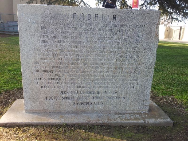
 
 
Vandalia Marker image. Click for full size.
Photographed by Dr. Samuel Gregg George Chapter No. 1855 E Clampus Vitus, January 21, 2013
1. Vandalia Marker
Inscription. Between 1859 and 1862 Vandalia was developing as the largest trading center in the Tule River Watershed and the third largest settlement in Tulare County. Vandalia Village, three tenths of the a mile north of this monument was the first semblance of a community on the Tule River, with the first official post office, first school, first church, and first cemetery in the Tule River Valley. Among first settlers were William and David Campbell who located on an island in the mouth of the river their original homestead, including the present Vandalia School, Pioneer Junior High, Porterville College, Jamison Stadium and Freeway 190. Floods in 1862 and 1868 wiped out Vandalia Village along with homes of many settlers, however the influence of Vandalia is still felt in Southeastern Tulare County through the work of today's citizens whose roots go back to the first pioneers and the name Vandalia lives on as a school, a cemetery, an avenue, an irrigation district and a 4-H club.
 
Erected 1982 by Dr. Samuel Gregg George Chapter 1855 E Clampus Vitus.
 
Topics and series. This historical marker is listed in this topic list:
Paid Advertisement
Click or scan to see
this page online
Settlements & Settlers. In addition, it is included in the E Clampus Vitus series list.
 
Location. 36° 2.918′ N, 119° 0.685′ W. Marker is in Porterville, California, in Tulare County. It is on East College Avenue west of Road 252, on the right when traveling east. Marker is located in front of the Vandalia Elementary School. Touch for map. Marker is at or near this postal address: 225 East College Avenue, Porterville CA 93257, United States of America. Touch for directions.

Regionally, this marker is in California’s San Joaquin Valley, specifically in the Central Valley, and in the Sierra Nevada. It is also on the American Pacific Coast. Globally, it is in North America, on the Ring of Fire, in the Pacific Rim, in the Western Hemisphere, in the Western World, and in the Anglosphere. Historically, it finds itself in what was once New Spain and also Mexico’s Alta California.

Other nearby markers. At least 8 other markers are within 3 miles of this marker, measured as the crow flies: The Tule River Stage Station (approx. 0.4 miles away); Gabriel Moraga (approx. Ύ mile away);
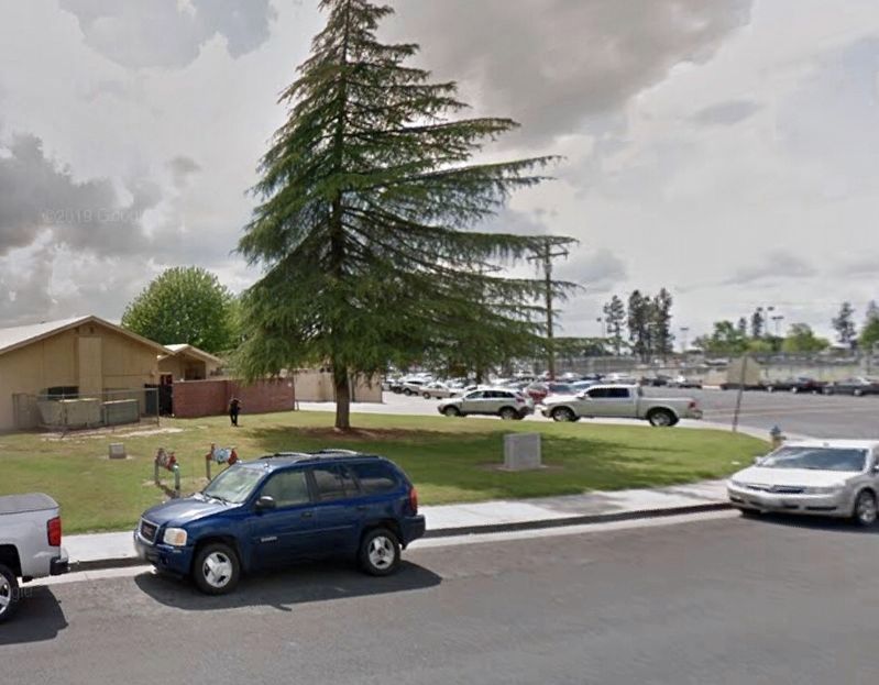
Vandalia Marker image. Click for full size.
2. Vandalia Marker
Nettie Smith's Place (approx. 1.3 miles away); Dr. Samuel Gregg George (approx. 1.4 miles away); Porterville's Badman (approx. 1.4 miles away); Elisha Packwood (approx. 1½ miles away); Time Marches On (approx. 1½ miles away); a different marker also named Tule River Stage Station (approx. 2.2 miles away). Touch for a list and map of all markers in Porterville.
 
 
Credits. This page was last revised on July 10, 2022. It was originally submitted on October 26, 2019, by Frank Gunshow Sanchez of Hollister, California. This page has been viewed 843 times since then and 52 times this year. Photos:   1. submitted on October 26, 2019, by Frank Gunshow Sanchez of Hollister, California.   2. submitted on October 31, 2019, by Craig Baker of Sylmar, California. • Syd Whittle was the editor who published this page.

m=141659

CeraNet Cloud Computing sponsors the Historical Marker Database.
This website earns income from purchases you make after using our links to Amazon.com. We appreciate your support.
Paid Advertisement
Jul. 26, 2026