Exeter in Tulare County, California — The American West (Pacific Coastal)
The Electric Railroad
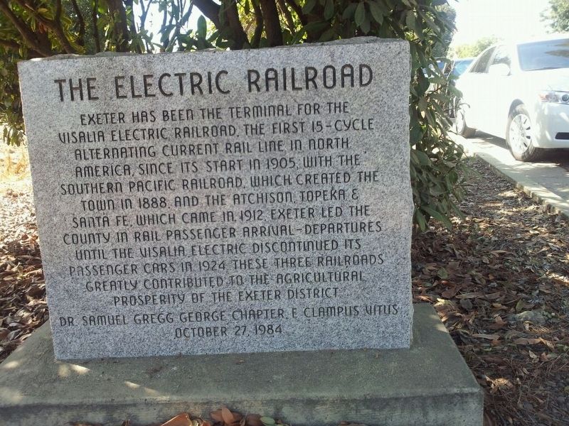
Photographed by Dr. Samuel Gregg George Chapter No. 1855 E Clampus Vitus
1. The Electric Railroad Marker
Erected 1984 by Dr. Samuel Gregg George Chapter 1855 E Clampus Vitus.
Topics and series. This historical marker is listed in this topic list: Railroads & Streetcars. In addition, it is included in the E Clampus Vitus series list.
Location. 36° 18.053′ N, 119° 8.163′ W. Marker is in Exeter, California, in Tulare County. It is at the intersection of East Walnut Street (Highway 65) and Detective Kent Haws Memorial Highway, on the right when traveling south on East Walnut Street. Touch for map. Marker is in this post office area: Exeter CA 93221, United States of America. Touch for directions.

Regionally,
this page online
Other nearby markers. At least 8 other markers are within 7 miles of this marker, measured as the crow flies: San Joaquin Roller Mill (approx. 2½ miles away); Farmersville (approx. 3.9 miles away); Venice School (approx. 4.3 miles away); Packwood Station (approx. 4½ miles away); Tulare County Election Tree (approx. 4.6 miles away); Cairns Corner Olive Trees (approx. 6.2 miles away); Butterfield Overland Mail Route (approx. 7 miles away); Fremont Trail (approx. 7 miles away). Touch for a list and map of all markers in Exeter.
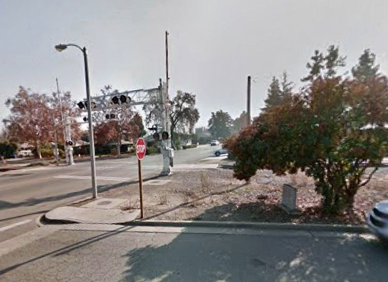
Photo courtesy of Google Maps
2. The Electric Railroad Marker
Credits. This page was last revised on November 1, 2019. It was originally submitted on October 26, 2019, by Frank Gunshow Sanchez of Hollister, California. This page has been viewed 1,021 times since then and 50 times this year. Photos: 1. submitted on October 26, 2019, by Frank Gunshow Sanchez of Hollister, California. 2. submitted on October 30, 2019, by Craig Baker of Sylmar, California. • Syd Whittle was the editor who published this page.
Editor’s want-list for this marker. Wide area view of the marker and its surroundings. • Can you help?
