Grove City in Franklin County, Ohio — The American Midwest (Great Lakes)
Bob Evans Double-Crib Log Barn
Photographed by Joel Seewald, October 14, 2019
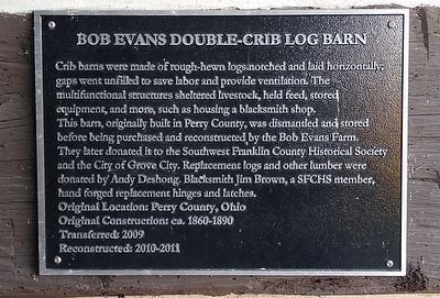
1. Bob Evans Double-Crib Log Barn Marker
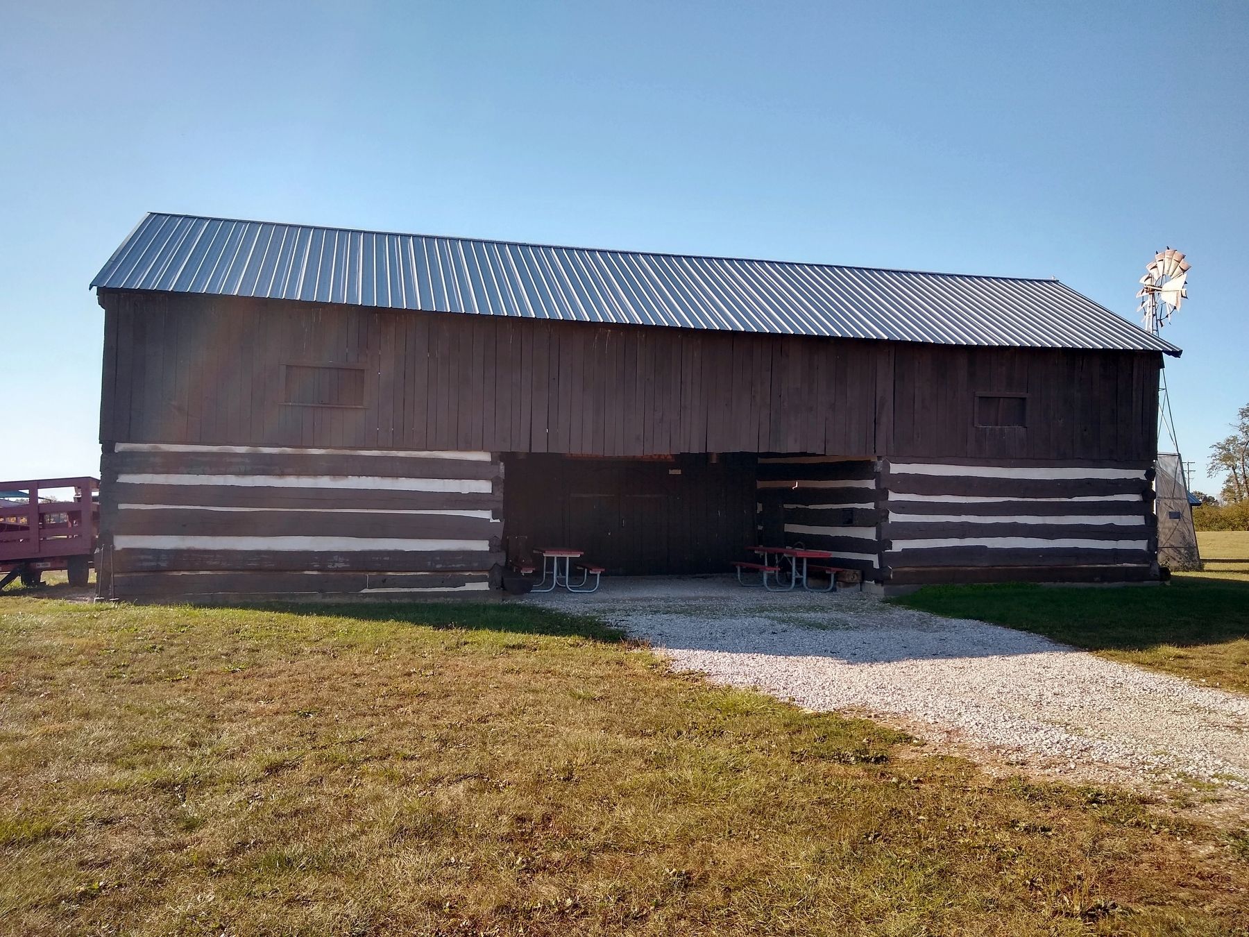
Crib barns were made of rough-hewn logs notched and laid horizontally; gaps went unfilled to save labor and provide ventilation. The multifunctional structures sheltered livestock, held feed, stored equipment, and more, such as housing a blacksmith shop.
This barn, originally built in Perry County, was dismantled and stored before being purchased and reconstructed by the Bob Evans Farm.
They later donated it to the Southwest Franklin County Historical Society and the City of Grove City. Replacement logs and other lumber were donated by Andy Deshong. Blacksmith Jim Brown, a SFCHS member, hand forged replacement hinges and latches.
Original Location: Perry County, Ohio
Original Construction: ca. 1860-1890
Transferred: 2009
Reconstructed: 2010-2011
Erected by Southwest Franklin County Historical Society.
Topics. This historical marker is listed in these topic lists: Agriculture • Notable Buildings. A significant historical year for this entry is 2009.
Location. 39° 51.577′ N, 83° 6.151′ W. Marker is in Grove City, Ohio, in Franklin County. It can be reached from Orders Road half a mile east of Harrisburg
this page online

Regionally, this marker is in the Scioto Valley and in the Columbus Metropolitan Area. It is also in the American Midwest and in the Corn Belt. Globally, it is in North America, the Western Hemisphere, the Western World, and the Anglosphere. Historically, it finds itself in what was once the Haudenosaunee (Iroquois) Confederacy, the territory of the Mississippian Culture, and the Northwest Territory.
Other nearby markers. At least 8 other markers are within walking distance of this marker: Borror-Roach Windmill (a few steps from this marker); Augenstein-Spillman Blacksmith Shop (within shouting distance of this marker); Funk-Ziegenspeck Granary (within shouting distance of this marker); Jones Log Barn (within shouting distance of this marker); Kegg-Kientz Log House (within shouting distance of this marker); Haines-Black House (within shouting distance of this marker);
Photographed by Joel Seewald, October 14, 2019
2. Bob Evans Double-Crib Log Barn and Marker
Marker is on the wall next to the picnic table on the right.
Also see . . . Century Village. Century Village web page on the Southwest Franklin County Historical Society website. (Submitted on October 26, 2019, by Joel Seewald of Madison Heights, Michigan.)
Photographed by Joel Seewald, October 14, 2019
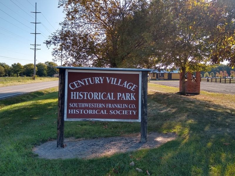
3. Century Village Historical Village Sign
Credits. This page was last revised on October 26, 2019. It was originally submitted on October 26, 2019, by Joel Seewald of Madison Heights, Michigan. This page has been viewed 478 times since then and 32 times this year. Photos: 1, 2, 3. submitted on October 26, 2019, by Joel Seewald of Madison Heights, Michigan.
