Springville in Tulare County, California — The American West (Pacific Coastal)
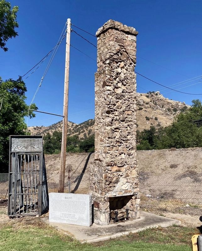
Daunt

Photographed by Dr. Samuel Gregg George Chapter No. 1855 E Clampus Vitus, July 14, 2013
1. Daunt Marker
Erected 1989 by Dr Samuel Gregg George Chapter 1855 E Clampus Vitus.
Topics and series. This historical marker is listed in this topic list: Settlements & Settlers. In addition, it is included in the E Clampus Vitus series list.
Location. 36° 7.368′ N, 118° 49.5′ W. Marker is in Springville, California, in Tulare County. It is on Highway 190, on the left when traveling
this page online

Regionally, this marker is in California’s San Joaquin Valley, specifically in the Central Valley, and in the Sierra Nevada. It is also on the American Pacific Coast. Globally, it is in North America, on the Ring of Fire, on the Pacific Rim, in the Western Hemisphere, in the Western World, and in the Anglosphere. Historically, it finds itself in what was once New Spain and also Mexico’s Alta California.
Other nearby markers. At least 8 other markers are within 9 miles of this marker, measured as the crow flies: The Citrus School Bell (within shouting distance of this marker); Elster Building (approx. 0.7 miles away); Treaty of 1851 (approx. 3.8 miles away); Citrus South Tule School (approx. 4.3 miles away); Success Dam and Lake (approx. 6.3 miles away); Tule River Indian Reservation (approx. 7.1 miles away); Welcome to the Tule River Indian-Reservation (approx. 7.1 miles away); a different
Photographed by Craig Baker, June 7, 2026
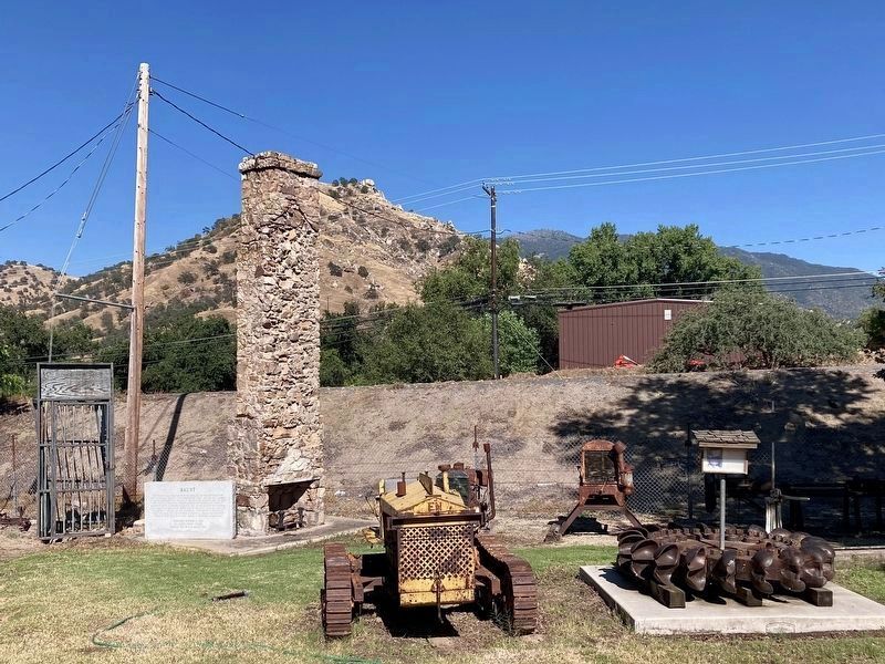
2. Daunt Marker
Photographed by Craig Baker, June 7, 2026
3. Daunt Marker
The dirt mound for the highway is where the house and post office were.
Photographed by Craig Baker, June 7, 2026
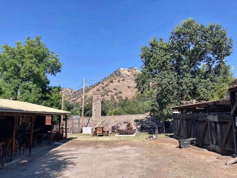
4. Tule River Historical Museum
Credits. This page was last revised on June 9, 2026. It was originally submitted on October 26, 2019, by Frank Gunshow Sanchez of Hollister, California. This page has been viewed 719 times since then and 63 times this year. Photos: 1. submitted on October 26, 2019, by Frank Gunshow Sanchez of Hollister, California. 2, 3, 4. submitted on June 9, 2026, by Craig Baker of Sylmar, California. • J. Makali Bruton was the editor who published this page.
