Porterville in Tulare County, California — The American West (Pacific Coastal)
Gabriel Moraga
Inscription.
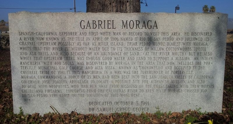
Spanish-California explorer and first white man of record to visit this area. He discovered a river now known as the Tule in April of 1806, named it Rio de San Pedro and followed its channel upstream possibly as far as River Island. Friar Pedro Munoz, diarist with Moraga, wrote that the river is "without water due to its thickness of willow, cottonwoods, torote and ash trees, and also because of an abundance of sand."(at the river mouth) but he also wrote that upstream there was enough good water and land to support a mission. An Indian rancheria "with 400 souls" was discovered by Moraga in the area that now includes the Porterville Municipal Golf Course and Alta Vista. Known as Chokowesho and occupied by the Coyehete Tribe of Yokuts, this rancheria, in a way, was the forerunner of Porterville. Moraga, commanding a force of 25 men, had been sent into the San Joaquin Valley by California Governor Jose Joaquin Arrillaga to locate a possible site for a Spanish mission and also to deal with neophytes who had run away from missions on the coast taking with them horses,
cattle, and firearms. Exploring from the Calaveras River to Kern River, Moraga crossed Rio de San Pedro very close to the location of this monument.
Erected 1991 by Dr. Samuel Gregg George Chapter 1855 E Clampus Vitus.
Topics and series. This historical marker is listed in these topic lists: Exploration • Native Americans • Settlements & Settlers. In addition, it is included in the E Clampus Vitus series list. A significant historical month for this entry is April 1806.
Location. 36° 3.537′ N, 119° 0.522′ W. Marker is in Porterville, California, in Tulare County. Marker is on East Date Avenue, on the right when traveling west. Marker is under a big tree to the right when traveling into the parking lot of the Porterville Area Coordinating Council building. Touch for map. Marker is at or near this postal address: 368 East Date Avenue, Porterville CA 93257, United States of America. Touch for directions.
Other nearby markers. At least 8 other markers are within 2 miles of this marker, measured as the crow flies. The Tule River Stage Station (approx. 0.4 miles away); Nettie Smith's Place (approx. 0.7 miles away); Dr. Samuel Gregg George (approx. 0.7 miles away); Vandalia (approx. ¾ mile away); Elisha Packwood (approx. 0.8 miles away); Porterville's Badman (approx. 0.8 miles away); Time Marches On (approx. 0.9 miles away); a different marker also named Tule River Stage Station (approx. 1.6 miles away). Touch for a list and map of all markers in Porterville.
Credits. This page was last revised on November 23, 2019. It was originally submitted on October 27, 2019, by Frank Gunshow Sanchez of Hollister, California. This page has been viewed 570 times since then and 197 times this year. Photo 1. submitted on October 27, 2019, by Frank Gunshow Sanchez of Hollister, California. • J. Makali Bruton was the editor who published this page.
Editor’s want-list for this marker. Wide area view of the marker and its surroundings. • Can you help?
