Townsend in Broadwater County, Montana — The American West (Mountains)
State Bank of Townsend
Photographed by Barry Swackhamer, August 13, 2019
1. State Bank of Townsend Marker
Inscription.
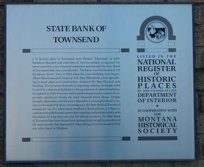
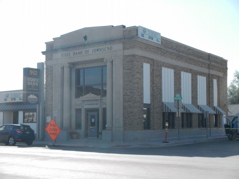
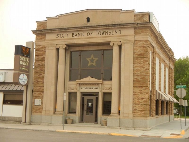
J. P. Kearns came to Townsend from Benton, Wisconsin, in 1899. Business-educated and experienced, Kearns astutely recognized the town’s need for a new financial institution and founded the State Bank of Townsend only three months later. The bank was first located at 312 Broadway Street. Then in 1916, plans for a new building were begun. Albert Mooreman and Company of St. Paul, Minnesota, a firm specializing in bank plans and construction, designed the Neo-classical style building. The structure features an imposing entrance in temple motif framed by columns and pilasters with a pediment of colored sandstone. Completed in 1918, its secure and commanding presence came to be especially significant during the hard financial time ahead. Despite drought, depression, and the area’s dependency on an agricultural economy so devastated by these circumstances, the State Bank of Townsend managed to survive when many small-town banks did not. J. P. Kearns’ cautious loan policies and conservative banking methods provided a solid foundation for long-term success. For almost a century, the State Bank of Townsend has been owned and operated
Click or scan to see this page online
in principal by members of the same family that chartered it, thus setting a record unmatched by any other bank in Montana.
Erected by Montana National Register Sign Program.
Location. 46° 19.227′ N, 111° 31.034′ W. Marker is in Townsend, Montana, in Broadwater County. It is on Broadway (U.S. 12) near South Cedar Street, on the right when traveling north. Touch for map. Marker is at or near this postal address: 400 Broadway, Townsend MT 59644, United States of America. Touch for directions.
Regionally, this marker is in Gold West Country and in Greater Helena. It is also in the American Mountain West and in the Lewis & Clark Corridor. Globally, it is in North America, the Rocky Mountains, the Western Hemisphere, the Western World, and the Anglosphere. Historically, it finds itself in what was once Rupert’s Land and also the Louisiana Purchase.
Other nearby markers. At
Photographed by Barry Swackhamer, August 13, 2019
2. State Bank of Townsend Marker
The marker is on the left, above the Road Closed Ahead sign.
Credits. This page was last revised on December 27, 2024. It was originally submitted on October 27, 2019, by Barry Swackhamer of Brentwood, California. This page has been viewed 449 times since then and 39 times this year. Photos:1, 2. submitted on October 27, 2019, by Barry Swackhamer of Brentwood, California. 3. submitted on December 24, 2021, by Barry Swackhamer of Brentwood, California.