
Springville in Tulare County, California — The American West (Pacific Coastal)
Camp Nelson

Photographed by Craig Baker, June 7, 2026
1. Camp Nelson Marker
1906 new two story log hotel with 12 rooms completed
1907 road built to Camp Wishon, 8 miles from Nelson's
1909 John M. Nelson passed away at 78 years of age
1922 road completed to Camp Nelson from The Forks
1927 log hotel burned, new lodge begun
1931 mutual water company organized
1947 electricity brought to Camp Nelson
1956 telephone line reached Camp Nelson
Erected 1996 by Dr. Samuel Gregg George Chapter
this page online
Topics and series. This historical marker is listed in this topic list: Settlements & Settlers. In addition, it is included in the E Clampus Vitus series list.
Location. 36° 8.399′ N, 118° 36.787′ W. Marker is in Springville, California, in Tulare County. It is at the intersection of Nelson Drive and Nelson Drive on Nelson Drive. Touch for map. Marker is at or near this postal address: 1720 Nelson Dr, Camp Nelson CA 93208, United States of America. Touch for directions.

Regionally, this marker is in California’s San Joaquin Valley, specifically in the Central Valley, and in the Sierra Nevada. It is also on the American Pacific Coast. Globally, it is in North America, on the Ring of Fire, in the Pacific Rim, in the Western Hemisphere, in the Western World, and in the Anglosphere. Historically, it finds itself in what was once New Spain and also Mexico’s Alta California.
Other nearby markers. At least 2 other markers are within 12 miles of this marker, measured as the crow flies: Giant Sequoia National Monument (approx. 11.3 miles away);

Photographed by Dr. Samuel Gregg George Chapter No. 1855 E Clampus Vitus, July 2, 2013
2. Camp Nelson Marker
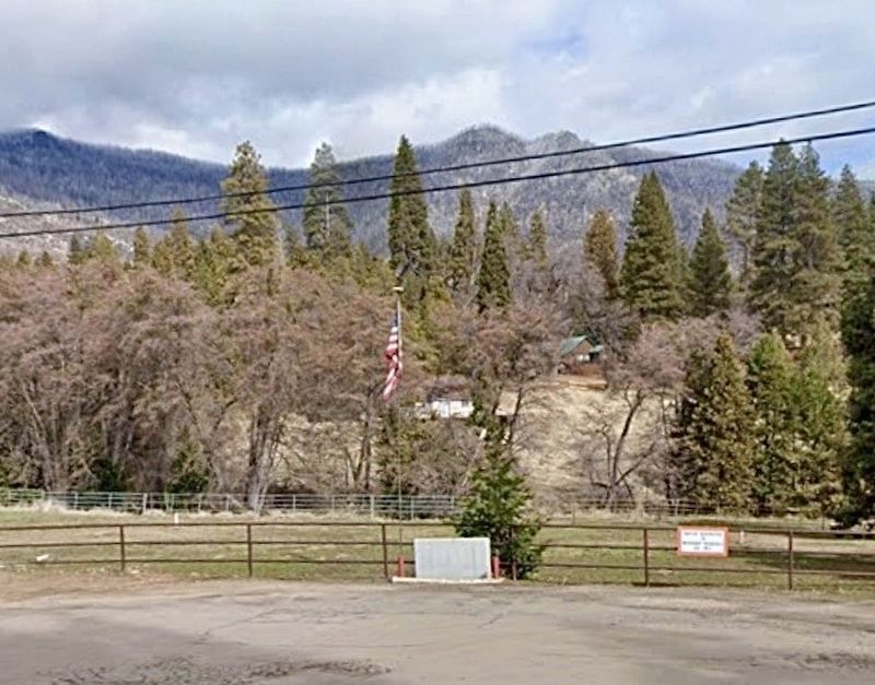
Photographed by Craig Baker
3. Camp Nelson Marker
Credits. This page was last revised on June 10, 2026. It was originally submitted on October 27, 2019, by Frank Gunshow Sanchez of Hollister, California. This page has been viewed 858 times since then and 51 times this year. Photos: 1. submitted on June 10, 2026, by Craig Baker of Sylmar, California. 2. submitted on October 27, 2019, by Frank Gunshow Sanchez of Hollister, California. 3. submitted on June 10, 2026, by Craig Baker of Sylmar, California. • J. Makali Bruton was the editor who published this page.
