Tulare in Tulare County, California — The American West (Pacific Coastal)
Rankin Aeronautical Academy
Inscription.
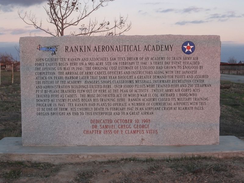
John Gilbert "Tex" Rankin and associates saw Tex's dream of an academy to train Army Air Force Cadets begin here on a 960 acre site on February 12, 1941. A three day event heralded the opening on May 18, 1941. The original cost estimate of $350,000 had grown to $800,000 by completion. The arrival of Army cadets, officers and instructors along with the Japanese attack on Pearl Harbor later that same year brought a greater demand for pilots and assured the future of the academy. Hangers, shops, classrooms, mess hall, infirmary, recreation center, and administration buildings existed here. Over 10,000 pilots were trained here and 250 Stearman PT 17 bi-plane trainers flew out of here at the peak of activity. Twelve Army Air Corps aces trained here as cadets, the most decorated ace of World War II, Col. Richard I. Bong, who downed 40 enemy planes, began his training here. Rankin Academy closed its military training program in 1945. Tex Rankin had plans to operate a number of commercial airports with this to be one of them, his untimely death in February 1947 in an airplane crash at Klamath Falls, Oregon brought an end to this enterprise and to a great airman.
Erected 1998 by Dr. Samuel Gregg George Chapter 1855 of E Clampus Vitus.
Topics and series. This historical marker is listed in these topic lists: Air & Space • Education • War, World II. In addition, it is included in the E Clampus Vitus series list. A significant historical date for this entry is February 12, 1941.
Location. 36° 9.14′ N, 119° 15.452′ W. Marker is in Tulare, California, in Tulare County. Marker can be reached from Road 140. This marker is located in the parking lot by the fountain of the Rankin Field Weapons Range. Touch for map. Marker is at or near this postal address: 20000 Road 140, Tulare CA 93274, United States of America. Touch for directions.
Other nearby markers. At least 8 other markers are within 10 miles of this marker, measured as the crow flies. Old Harmony School (approx. 5.3 miles away); First Airplane in Tulare County (approx. 5.4 miles away); Tulare Irrigation District (approx. 5.7 miles away); Tuggleville (approx. 5.7 miles away); Tulare City, Main Southern Pacific Railroad Terminal, 1872-1892 (approx. 6.2 miles away); Cairns Corner Olive Trees (approx. 7.9 miles away); Packwood Station (approx. 8.6 miles away); Mooney Grove Park Boy Scout Cabin (approx. 9.2 miles away). Touch for a list and map of all markers in Tulare.
Credits. This page was last revised on November 23, 2019. It was originally submitted on October 27, 2019, by Frank Gunshow Sanchez of Hollister, California. This page has been viewed 360 times since then and 51 times this year. Photo 1. submitted on October 27, 2019, by Frank Gunshow Sanchez of Hollister, California. • J. Makali Bruton was the editor who published this page.
Editor’s want-list for this marker. Wide area view of the marker and its surroundings. • Clarification of the marker's exact location and coordinates. • Can you help?
