South Columbus in Franklin County, Ohio — The American Midwest (Great Lakes)
Former Site of St. Mary's School and Convent
Photographed by Joel Seewald, October 13, 2019
1. Former Site of St. Mary's School and Convent Marker
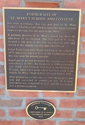
For over a century, this site was part of St. Mary Catholic Church, established to serve the many German families moving into the area in the 1860s.
A primary mission of St. Mary's parish has been the education of its children. The first parish building, located to the west of this site, was built in 1865 and served as the church, rectory, and schoolhouse.
Joliet Franciscan nuns began teaching at the school in 1875, and a convent was built on the southern portion of this site, near the present gardens.
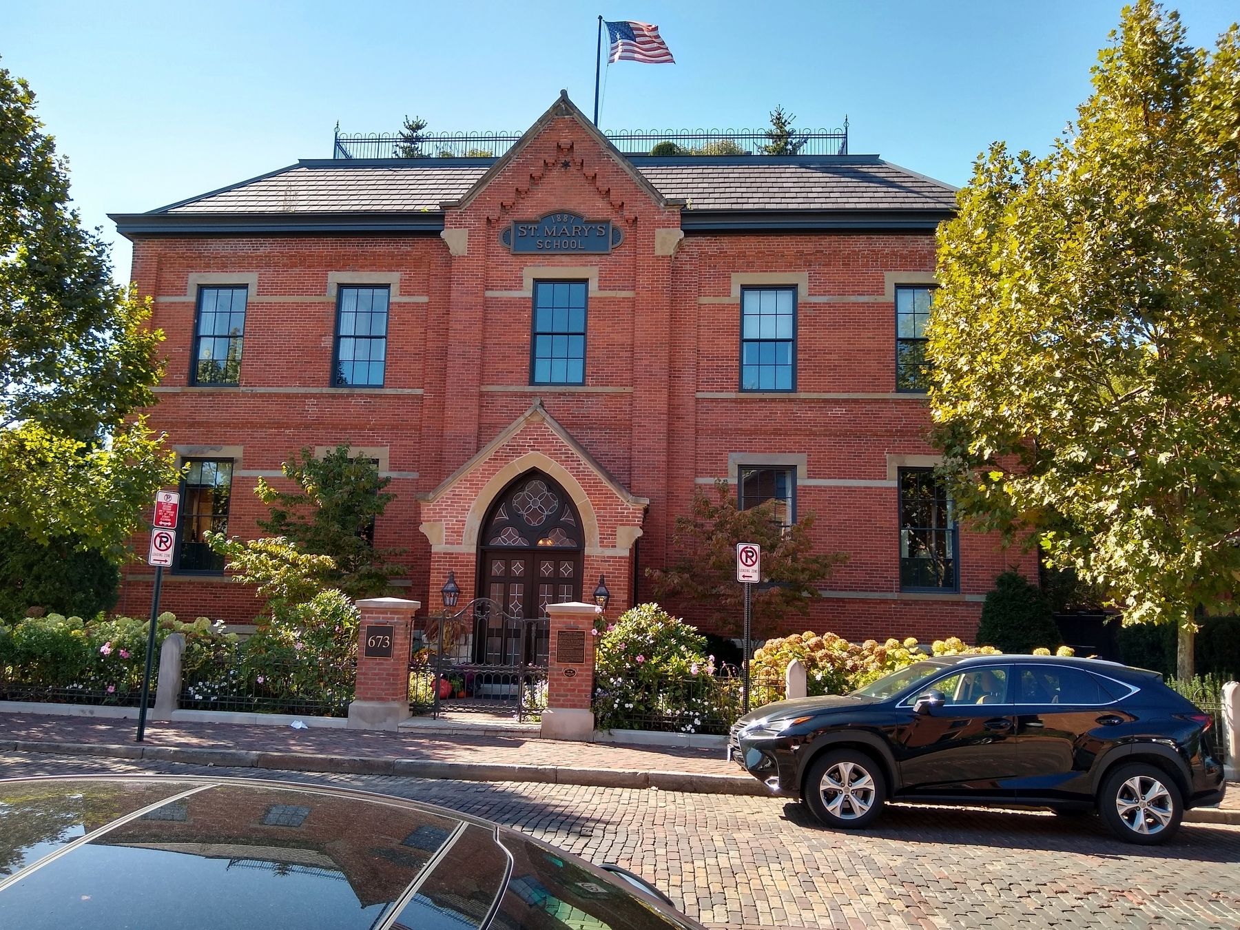
Rapid parish growth prompted the construction of this schoolhouse in 1887. An expansion in 1896 doubled its size. Grade school classes were held in the building for 69 years, when a new grade school was built south of the church. St. Mary's High School relocated here in 1956.
After graduating its last class in 1968, the property was sold and converted to commercial use. A historic renovation was completed in 2015, and the building is now a private residence.
Caretakers of a Legacy
Chairman's Award
2016
Topics. This historical marker is listed in these topic lists: Education • Religion & Religious Structures. A significant historical year for this entry is 1865.
Location. 39° 56.929′ N, 82° 59.622′ W. Marker is in Columbus, Ohio, in Franklin County. It is in South Columbus. It is on Mohawk Street south of East Sycamore Street, on the right when traveling south. Touch for map. Marker is at or near this postal address: 673 Mohawk Street, Columbus OH 43206, United States of America. Touch for directions.

Regionally, this marker is in the Scioto Valley. It is also in the American Midwest and in the Corn Belt. Globally, it is in North America, the Western Hemisphere, the Western World, and the Anglosphere. Historically, it finds itself in what was once the Haudenosaunee
this page online
Other nearby markers. At least 8 other markers are within walking distance of this marker: Historic German Village (a few steps from this marker); a different marker also named Historic German Village (about 400 feet away, measured in a direct line); St. Mary Church (about 500 feet away); a different marker also named Historic German Village (about 500 feet away); a different marker also named Historic German Village (about 500 feet away); a different marker also named Historic German Village (about 500 feet away); Circa Mid 1888 (about 500 feet away); Year of Construction Early 1900s (about 600 feet away). Touch for a list and map of all markers in Columbus.
Photographed by Joel Seewald, October 13, 2019
2. Former Site of St. Mary's School and Convent Marker
Credits. This page was last revised on February 3, 2023. It was originally submitted on October 28, 2019, by Joel Seewald of Madison Heights, Michigan. This page has been viewed 2,592 times since then and 262 times this year. Photos: 1, 2. submitted on October 28, 2019, by Joel Seewald of Madison Heights, Michigan.
