Owego in Tioga County, New York — The American Northeast (Mid-Atlantic)
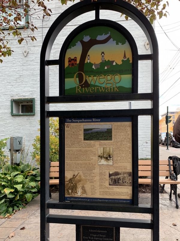
Owego Riverwalk
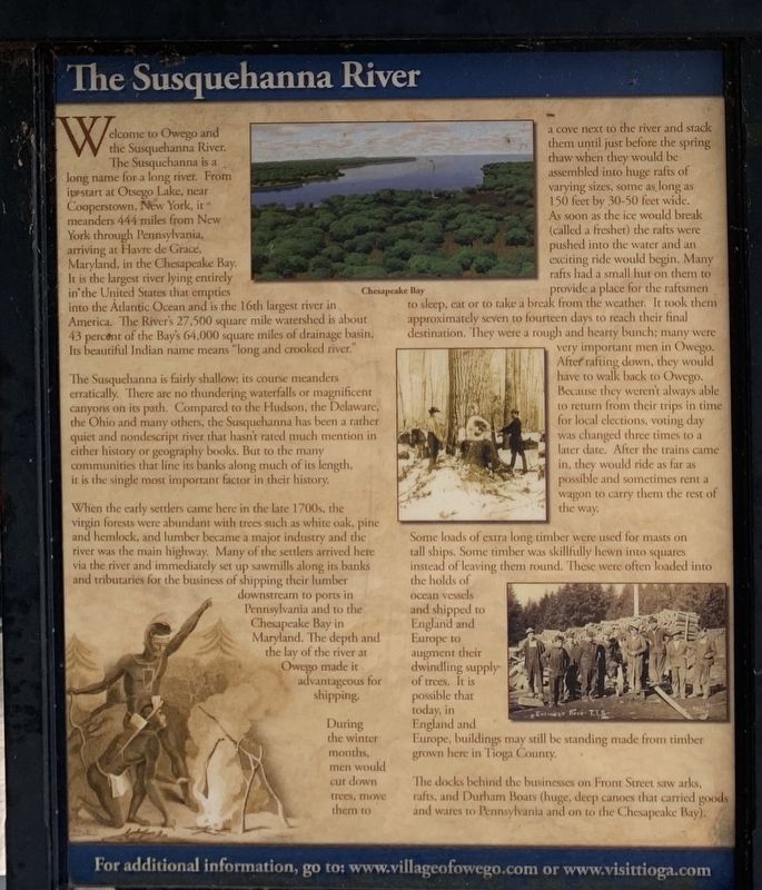
The Susquehanna River
The Susquehanna is fairly shallow; its course meanders erratically. There are no thundering waterfalls or magnificent canyons on its path. Compared to the Hudson, the Delaware, the Ohio and many others, the Susquehanna has been a rather quiet and nondescript river that hasn't rated much mention in either history or geography books. But to the communities that line its banks along much of its length, it is the single most important factor in their history.
When the early settlers came here in the late 1700s, the virgin forests were abundant with trees such as white oak, pine and hemlock, and lumber became a major industry and the river was the main highway. Many of the settlers arrived here via the river and immediately set up sawmills along its banks and tributaries for the business of shipping their lumber downstream to ports in Pennsylvania and to the Chesapeake Bay in Maryland. The depth and the lay of the river at Owego made it advantageous for shipping. During the winter months, men would cut down trees, move them a cove next to the river and stack them until just before the spring thaw when they would be assembled into huge rafts of varying sizes, some as long as 150 feet by 30-50 feet wide. As soon as the ice would break (called a freshet) the rafts were pushed into the water and an exciting ride would begin. Many rafts had a small hut on them to provide a place for the raftsmen to sleep, eat or to take a break from the weather. It took them approximately seven to fourteen days to reach their final destination. They were a rough and hearty bunch; many were very important men in Owego. After rafting down, they would have to walk back to Owego. Because they weren't always able to return from their trips in time for local elections, voting day was changed three times to a later date. After the trains came in, they would ride as far as possible and sometimes rent a wagon to carry them the rest of the way.
Some loads of extra long timber were used for masts on tall ships. Some timber was skillfully hewn into squares instead of leaving them round. These were often loaded into the holds of ocean vessels and shipped to England and Europe to augment their dwindling supply of trees. It is possible that today, in England and Europe, buildings may still be standing made from timber grown here in Tioga County.
The docks behind the businesses on Front Street saw arks, rafts, and Durham Boats (huge, deep canoes that carried goods and wares to Pennsylvania and on to the Chesapeake Bay).
For additional information, go to: www.villageofowego.com or www.visittioga.com
Topics. This historical marker is listed in these topic lists: Horticulture & Forestry • Industry & Commerce • Settlements & Settlers • Waterways & Vessels.
Location. 42° 6.168′ N, 76° 15.579′ W. Marker is in Owego, New York, in Tioga County. Marker is at the intersection of Front Street (New York State Route 17C) and Church Street, on the left when traveling west on Front Street. Touch for map. Marker is in this post office area: Owego NY 13827, United States of America. Touch for directions.
Other nearby markers. At least 8 other markers are within walking distance of this marker. A different marker also named Owego Riverwalk (here, next to this marker); Native American Roots (a few steps from this marker); On the Site of Owego (a few steps from this marker); Ahwaga Hotel (within shouting distance of this marker); Former Site (about 400 feet away, measured in a direct line); 1849 Great Fire (about 600 feet away); Tioga County Memorial (about 700 feet away); Ithaca-Owego RR (about 700 feet away). Touch for a list and map of all markers in Owego.
Also see . . .
1. Village of Owego. (Submitted on October 30, 2019, by Michael Herrick of Southbury, Connecticut.)
2. Welcome to Tioga County, NY. (Submitted on October 30, 2019, by Michael Herrick of Southbury, Connecticut.)
Credits. This page was last revised on October 30, 2019. It was originally submitted on October 28, 2019, by Steve Stoessel of Niskayuna, New York. This page has been viewed 148 times since then and 22 times this year. Photos: 1, 2. submitted on October 28, 2019, by Steve Stoessel of Niskayuna, New York. • Michael Herrick was the editor who published this page.

