Norman in Cleveland County, Oklahoma — The American South (West South Central)
Dave Blue Trading Post
Photographed by Jerome W Walker, October 26, 2019
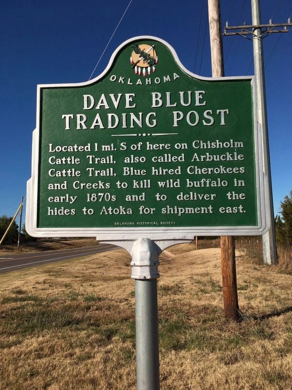
1. Dave Blue Trading Post Marker
Located 1 mi. S of here on Chisholm Cattle Trail, also called Arbuckle Cattle Trail, Blue hired Cherokees and Creeks to kill wild buffalo in early 1870s and to deliver the hides to Atoka for shipment east.
Erected by Oklahoma Historical Society.
Topics and series. This historical marker is listed in these topic lists: Animals • Indigenous Peoples and Communities • Railroads & Streetcars • Settlements & Settlers. In addition, it is included in the Oklahoma Historical Society series list.
Location. 35° 11.385′ N, 97° 22.231′ W. Marker is in Norman, Oklahoma, in Cleveland County. It is at the intersection of 48th Avenue Southeast and East Imhoff Road, on the right when traveling north on 48th Avenue Southeast. Touch for map. Marker is in this post office area: Norman OK 73071, United States of America. Touch for directions.

Regionally, this marker is in Central Oklahoma—Frontier Country and in Greater Oklahoma City. It is also in the American South, specifically on the prairies, and on the Southern Plains. Globally, it is in North America, the
this page online
Other nearby markers. At least 8 other markers are within 4 miles of this marker, measured as the crow flies: The Naming of Norman (approx. 3½ miles away); The John Frank Ceramics Studio (approx. 3.8 miles away); The Oklahoma Mesonet (approx. 3.8 miles away); The Dr. Kenneth C. Crawford Oklahoma Mesonet Site (approx. 3.8 miles away); The National Weather Center Building (approx. 3.9 miles away); a different marker also named The National Weather Center Building (approx. 3.9 miles away); The Stephenson Life Sciences Center (approx. 4 miles away); The Peggy and Charles Stephenson Research and Technology Center (approx. 4 miles away). Touch for a list and map of all markers in Norman.
Regarding Dave Blue Trading Post.
From The Norman Transcript, January 29, 2015:
Dave Blue Trading Post, a Norman landmark
An early day trading post in what later became the Norman city limits is believed to be the first commercial establishment in Norman. After the
Photographed by Jerome W Walker, November 2, 2019
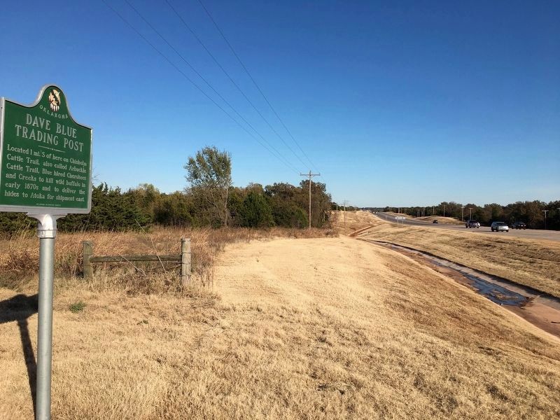
2. Looking east from Dave Blue Trading Post Marker along Oklahoma State Highway 9 East
Credits. This page was last revised on November 2, 2019. It was originally submitted on October 29, 2019, by Jerome Walker of Moore, Oklahoma. This page has been viewed 2,926 times since then and 246 times this year. Photos: 1. submitted on October 29, 2019, by Jerome Walker of Moore, Oklahoma. 2. submitted on November 2, 2019, by Jerome Walker of Moore, Oklahoma. • J. Makali Bruton was the editor who published this page.
