Victoria in Victoria County, Texas — The American South (West South Central)
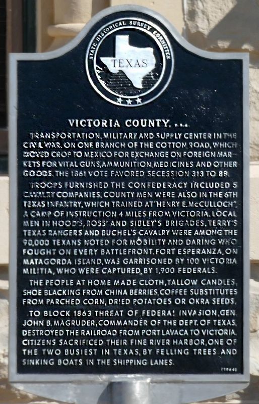
Victoria County, C.S.A.
Transportation, military and supply center in the Civil War. On one branch of the Cotton Road, which moved crop to Mexico for exchange on foreign markets for vital guns, ammunition, medicines and other goods. The 1861 vote favored secession 313 to 88.
Troops furnished the Confederacy included 5 cavalry companies. County men were also in the 6th Texas Infantry, which trained at "Henry E. McCulloch", a camp of instruction 4 miles from Victoria. Local men in Hood's, Ross' and Sibley's Brigades, Terry's Texas Rangers and Buchel's Cavalry were among the 90,000 Texans noted for mobility and daring who fought on every battlefront. Fort Esperanza, on Matagorda Island, was garrisoned by 100 Victoria Militia, who were captured by 1,900 Federals.
The people at home made cloth, tallow candles, shoe blacking from china berries, coffee substitutes from parched corn, dried potatoes or okra seeds.
To block 1863 threat of Federal invasion, Gen. John B. Magruder, commander of the Dept. of Texas, destroyed the railroad from Port Lavaca to Victoria. Citizens sacrificed their fine river harbor, one of the two busiest in Texas, by felling trees and sinking boats in the shipping lanes.
(1963)
Erected 1964 by The Historical Survey Committee. (Marker Number 5652.)
Topics. This historical marker is listed in this topic list: War, US Civil.
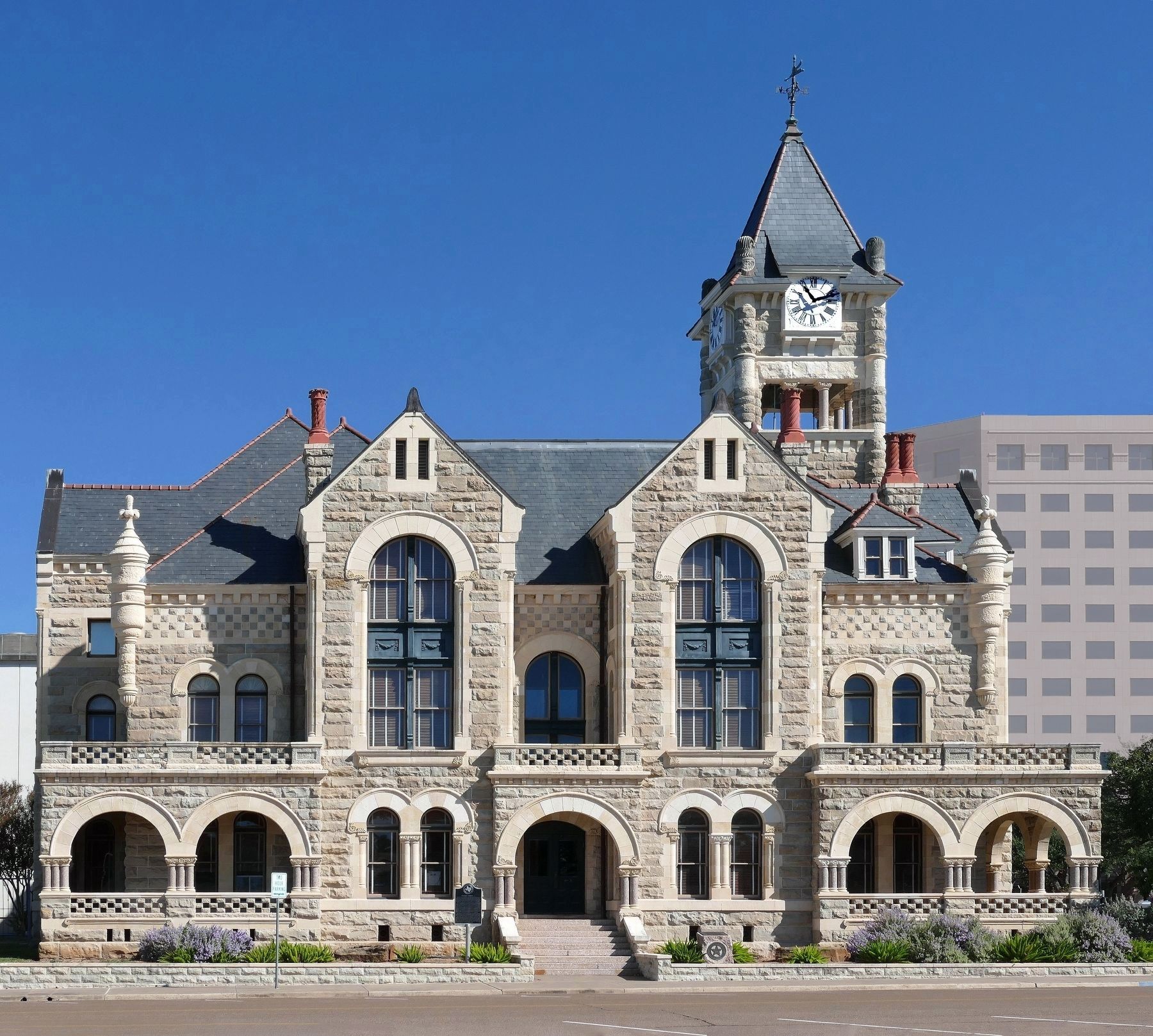
Location. 28° 47.984′ N, 97° 0.443′ W. Marker is in Victoria, Texas, in Victoria County. Marker is at the intersection of West Constitution Street and North Bridge Street, on the left when traveling east on West Constitution Street. Marker is on the left of the Constitution Street entrance to the old Victoria County Courthouse. Touch for map. Marker is at or near this postal address: 101 North Bridge Street, Victoria TX 77901, United States of America. Touch for directions.
Other nearby markers. At least 8 other markers are within walking distance of this marker. A different marker also named Victoria County (here, next to this marker); 1892 Victoria County Courthouse (within shouting distance of this marker); Victor M. Rose (within shouting distance of this marker); Victoria County Honor Roll (within shouting distance of this marker); Home County of William Pinckney McLean (within shouting distance of this marker); Mundt Place (about 300 feet away, measured in a direct line); Confederate Veterans Memorial (about 400 feet away); De Leon Plaza (about 400 feet away). Touch for a list and map of all markers in Victoria.
Credits. This page was last revised on October 30, 2019. It was originally submitted on October 29, 2019, by Jim Evans of Houston, Texas. This page has been viewed 170 times since then and 19 times this year. Photos: 1. submitted on October 29, 2019, by Jim Evans of Houston, Texas. 2. submitted on October 26, 2019, by Jim Evans of Houston, Texas. • J. Makali Bruton was the editor who published this page.

