A Summer of Political Unrest
— The ‘89er Trail —
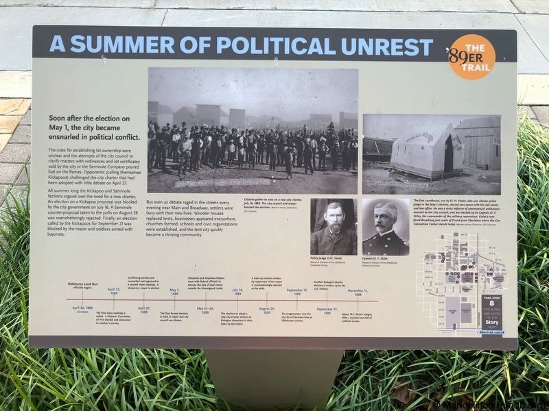
Soon after the election on May 1, the city became ensnarled in political conflict.
The rules for establishing lot ownership were unclear and the attempts of the city council to clarify matters with ordinances and lot certificates sold by the city or the Seminole Company poured fuel on the flames. Opponents (calling themselves Kickapoos) challenged the city charter that had been adopted with little debate on April 27.
All summer long the Kickapoo and Seminole factions argued over the need for a new charter. An election on a Kickapoo proposal was blocked by the city government on July 16. A Seminole counter-proposal taken to the polls on August 29 was overwhelmingly rejected. Finally, an election called by the Kickapoos for September 21 was blocked by the mayor and soldiers armed with bayonets.
But even as debate raged in the streets every evening near Main and Broadway, settlers were busy with their new lives. Wooden houses replaced tents, businesses appeared everywhere, churches formed, schools and civic organizations were established, and the tent city quickly became a thriving community.
Photo
captions:
Top middle: Citizens gather to vote on a new city charter, July 16, 1889. The city council and mayor blocked the election.
Western History Collection, OU Libraries
Top right: The first courthouse, run by O. H. Violet, who was chosen police judge in the May 1 election, shared tent space with his real estate and law office. He was a strict enforcer of controversial ordinances enacted by the city council, and was backed up by Captain D. F. Stiles, the commander of the military reservation. Violet's tent faced Broadway just south of Grand (now Sheridan) where the Cox Convention Center stands today. Western History Collection,OU Libraries
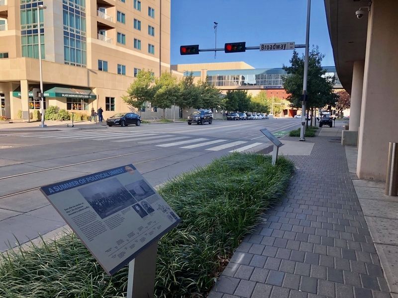
Erected 2018 by Oklahoma City Community Foundation, Wiggin Properties. (Marker Number 8.)
Topics and series. This historical marker is listed in these topic lists: Government & Politics • Settlements & Settlers. In addition, it is included in the The '89er Trail series list. A significant historical date for this entry is April 27, 1889.
Location. 35° 27.982′ N, 97°
Other nearby markers. At least 8 other markers are within walking distance of this marker. City Hall by Forfeiture (a few steps from this marker); The Building of Oklahoma City (about 400 feet away, measured in a direct line); Settling the Conflicting Surveys (about 400 feet away); The Citizens' Committee (about 400 feet away); The Election of May 1, 1889 (about 400 feet away); Angelo C. Scott (about 500 feet away); The Land Run (about 500 feet away); Visit of the Congressmen (about 600 feet away). Touch for a list and map of all markers in Oklahoma City.
Credits. This page was last revised on February 16, 2023. It was originally submitted on October 29, 2019, by Mark Hilton of Montgomery, Alabama. This page has been viewed 181 times since then and 15 times this year. Photos: 1, 2. submitted on October 29, 2019, by Mark Hilton of Montgomery, Alabama.

