Skinker DeBaliviere in St. Louis, Missouri — The American Midwest (Upper Plains)
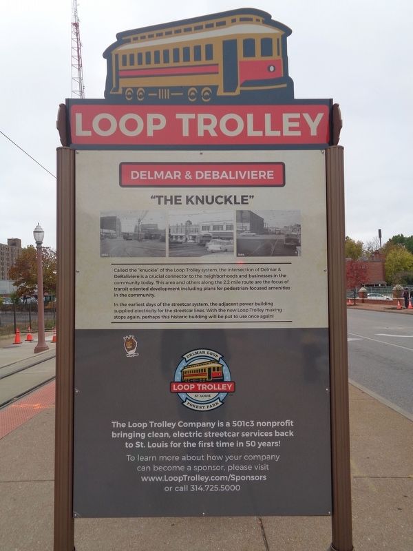
"The Knuckle"
Loop Trolley
— Delmar & DeBaliviere —
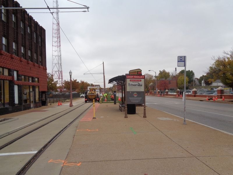
In the earliest days of the streetcar system, the adjacent power building supplied electricity for the streetcar lines. With the new Loop Trolley making stops again, perhaps this historic building will be put to use once again!
Erected by The Loop Trolley Company.
Topics and series. This historical marker is listed in this topic list: Railroads & Streetcars. In addition, it is included in the Loop Trolley series list.
Location. 38° 39.221′ N, 90° 17.062′ W. Marker is in St. Louis, Missouri. It is in Skinker DeBaliviere. Marker is at the intersection of DeBaliviere Avenue and Delmar Boulevard, on the right when traveling north on DeBaliviere Avenue. Touch for map. Marker is in this post office area: Saint Louis MO 63112, United States of America. Touch for directions.
Other nearby markers. At least 8 other markers are within walking distance of this marker. Ruth Porter Mall Park (within shouting distance of this marker); The Urbanization of a Watershed (about 700 feet away, measured in a direct line); Take a Ride, Stroll or Bike on the "DeBaliviere Strip" (about 700 feet away); Jewels of the City: West End Architecture (approx. 0.3 miles away); "Clang! clang! clang! Goes the trolley!" (approx. 0.4 miles away); Where Do We Place Our Public Assets? (approx. half a mile away); Aaaaallllll Aboard! (approx. half a mile away); Where Will Children Play? (approx. 0.6 miles away). Touch for a list and map of all markers in St. Louis.
Credits. This page was last revised on February 2, 2023. It was originally submitted on October 29, 2019, by Jason Voigt of Glen Carbon, Illinois. This page has been viewed 157 times since then and 7 times this year. Photos: 1, 2. submitted on October 29, 2019, by Jason Voigt of Glen Carbon, Illinois. • Devry Becker Jones was the editor who published this page.

