Tulare in Tulare County, California — The American West (Pacific Coastal)
Tulare Irrigation District
Inscription.
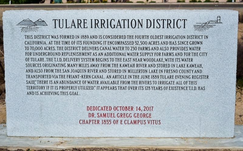
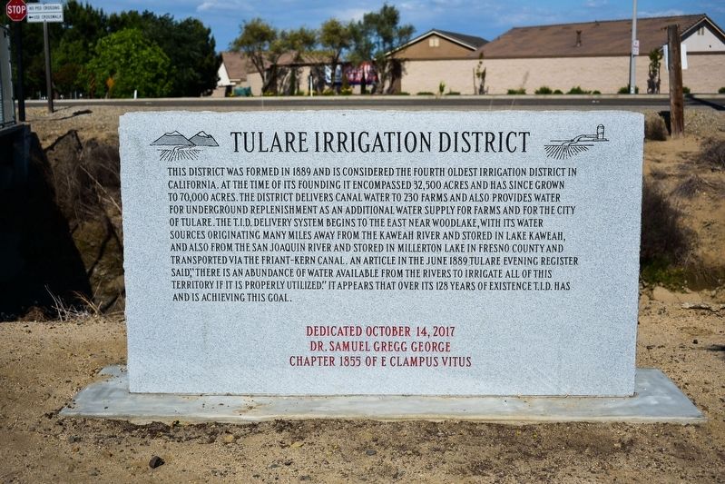
This district was formed in 1889 and is considered the fourth oldest irrigation district in California. At the time of its founding it encompassed 32,500 acres and has since grown to 70,000 acres. The district delivers canal water to 230 farms and also provides water for underground replenishment as an additional water supply for farms and for the city
of Tulare. The T.I.D. delivery system begins to the East near Woodlake, with its water sources originating many miles away from the Kaweah River and stored in Lake Kaweah, and also from the San Joaquin River and stored in Millerton Lake in Fresno County and
transported via the Friant-Kern Canal. An article in the June 1889 Tulare Evening Register said, "there is an abundance of water available from the rivers to irrigate all of this territory if it is properly utilized.” It appears that over its 128 years of existence T.I.D. has
and is achieving this goal.
Erected 2017 by Dr. Samuel Gregg George Chapter 1855 of E Clampus Vitus.
Topics and series. This historical marker is listed in this topic list: Agriculture. In addition, it is included in the E Clampus Vitus series list. A significant historical month for this entry is June 1889.
Location. 36° 13.241′ N, 119° 18.801′ W. Marker is in Tulare, California , in Tulare County. Marker is on North Mooney Boulevard, on the right when traveling south. This marker is on the Tulare-Santa Fe Trail, by the Tulare Canal. Touch for map. Marker is in this post office area: Tulare CA 93274, United States of America. Touch for directions.
Other nearby markers. At least 8 other markers are within 6 miles of this marker, measured as the crow flies. First Airplane in Tulare County (approx. 0.8 miles away); Tulare City, Main Southern Pacific Railroad Terminal, 1872-1892 (approx. 2.1 miles away); Tuggleville (approx. 2.4 miles away); End of the Trail (approx. 4 miles away); World’s First Self-Propelled Combine (approx. 4 miles away); Mooney Grove Park Boy Scout Cabin (approx. 4.1 miles away); Hugh Michael Mooney (1864-1934) (approx. 4.1 miles away); Rankin Aeronautical Academy (approx. 5.7 miles away). Touch for a list and map of all markers in Tulare.
Credits. This page was last revised on November 3, 2019. It was originally submitted on October 30, 2019, by Frank Gunshow Sanchez of Hollister, California. This page has been viewed 213 times since then and 24 times this year. Photos: 1. submitted on November 3, 2019, by Frank Gunshow Sanchez of Hollister, California. 2. submitted on October 30, 2019, by Frank Gunshow Sanchez of Hollister, California. • Syd Whittle was the editor who published this page.

