Skinker DeBaliviere in St. Louis, Missouri — The American Midwest (Upper Plains)
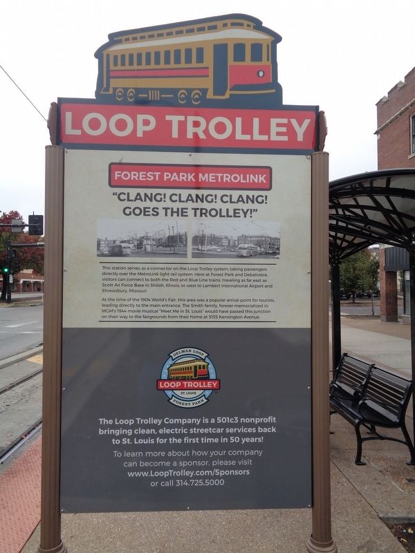
"Clang! clang! clang! Goes the trolley!"
Loop Trolley
| — | Forest Park MetroLink | — |
Photographed by Jason Voigt, October 29, 2019
1. "Clang! clang! clang! Goes the trolley!" Marker
At the time of the 1904 World's Fair, this area was a popular arrival point for tourists, leading directly to the main entrance. The Smith family, forever memorialized in MGM's 1944 movie musical "Meet Me In St. Louis" would have passed this junction on their way to the fairgrounds from their home at 5135 Kensington Avenue.
Erected by The Loop Trolley Company.
Topics and series. This historical marker is listed in these topic lists: Arts, Letters, Music • Entertainment • Railroads & Streetcars. In addition, it is included in the Loop Trolley series list. A significant historical year for this entry is 1904.
Location. 38° 38.904′ N, 90° 17.112′ W. Marker is in St. Louis, Missouri. It is in Skinker DeBaliviere. It is on DeBaliviere Avenue just south of Pershing
this page online

Regionally, this marker is in the American Midwest, in the Lewis & Clark Corridor, in the Corn Belt, and in the Great River Road Region. Globally, it is in North America, the Western Hemisphere, the Western World, and the Anglosphere. Historically, it finds itself in what was once the territory of the Mississippian Culture, the Louisiana Purchase, and the Antebellum South.
Other nearby markers. At least 8 other markers are within walking distance of this marker: Where Do We Place Our Public Assets? (approx. 0.2 miles away); Where Will Children Play? (approx. 0.2 miles away); How Else Can a Park Serve Its Community? (approx. 0.2 miles away); How Do We Understand the Past? (approx. 0.2 miles away); Take a Ride, Stroll or Bike on the "DeBaliviere Strip" (approx.
Photographed by Jason Voigt, October 29, 2019
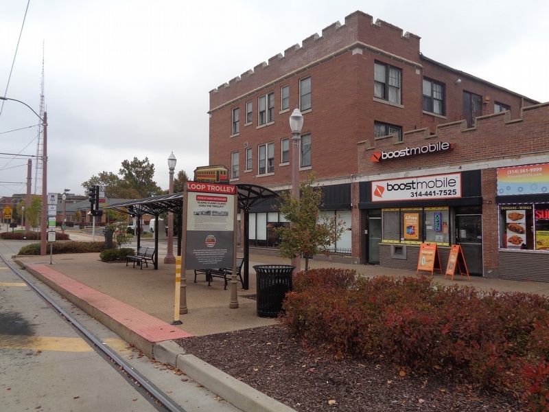
2. "Clang! clang! clang! Goes the trolley!" Marker
Located at the Loop Trolley stop
Credits. This page was last revised on January 30, 2023. It was originally submitted on October 30, 2019, by Jason Voigt of Glen Carbon, Illinois. This page has been viewed 305 times since then and 8 times this year. Photos: 1, 2. submitted on October 30, 2019, by Jason Voigt of Glen Carbon, Illinois. • Devry Becker Jones was the editor who published this page.
