The Land Run
Oklahoma City April 22, 1889
— The ‘89er Trail —
Oklahoma City and Guthrie, a dozen other towns, and thousands of farms were settled in a day.
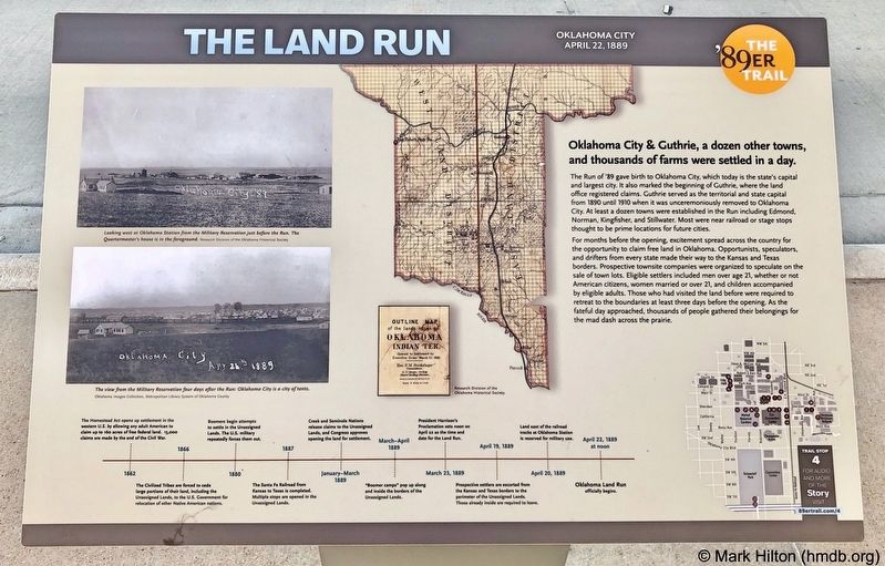
The Run of '89 gave birth to Oklahoma City, which today is the state's capital and largest city. It also marked the beginning of Guthrie, where the land office registered claims. Guthrie served as the territorial and state capital from 1890 until 1910 when it was unceremoniously removed to Oklahoma City. At least a dozen towns were established in the Run including Edmond, Norman, Kingfisher, and Stillwater. Most were near railroad or stage stops thought to be prime locations for future cities.
For months before the opening, excitement spread across the country for the opportunity to claim free land in Oklahoma. Opportunists, speculators, and drifters from every state made their way to the Kansas and Texas borders. Prospective townsite companies were organized to speculate on the sale of town lots. Eligible settlers included men over age 21, whether or not American citizens, women married or over 21, and children accompanied by eligible adults. Those who had visited the land before were required to retreat to the boundaries at least three days before the opening. As the fateful day approached, thousands of people gathered their belongings for the mad dash across the prairie.
Photo captions:
Top left: Looking
west at Oklahoma Station from the Military Reservation just before the Run. The Quartermaster's house is in the foreground.
Research Division of the Oklahoma Historical Society
Bottom left: The view from the Military Reservation four days after the Run: Oklahoma City is a city of tents. Oklahoma Images Collection, Metropolitan Library System of Oklahoma County
Erected 2018 by Oklahoma City Community Foundation, Wiggin Properties. (Marker Number 4.)
Topics and series. This historical marker is listed in this topic list: Settlements & Settlers. In addition, it is included in the The '89er Trail series list. A significant historical year for this entry is 1890.
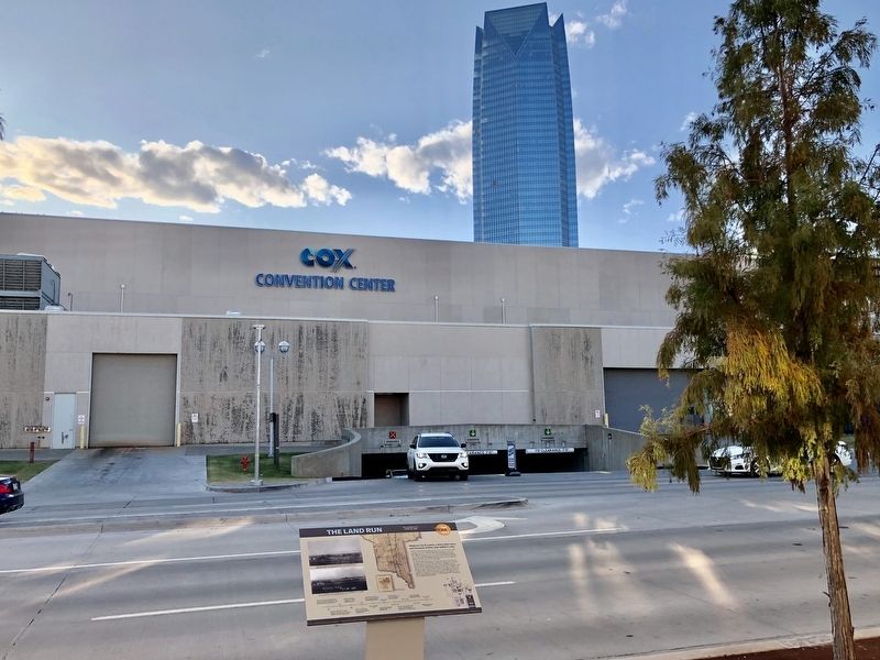
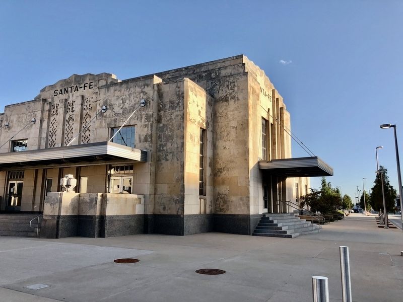
Location. 35° 27.913′ N, 97° 30.782′ W. Marker is in Oklahoma City, Oklahoma, in Oklahoma County. It is in Central Oklahoma City. Marker is on South E.K. Gaylord Boulevard north of Reno Avenue, on the right when traveling north. Located in front of the Amtrak Station. Touch for map. Marker is at or near this postal address: 100 South EK Gaylord Boulevard, Oklahoma City OK 73104, United States of America. Touch for directions.
Other nearby markers. At least 8 other markers are within walking distance of this marker. Hell's Half Acre (within shouting distance of this marker); a different marker also named The Land Run (about 400 feet away, measured in a direct line);
Also see . . . Wikipedia entry on the Land Rush of 1889. (Submitted on October 31, 2019, by Mark Hilton of Montgomery, Alabama.)
Credits. This page was last revised on February 16, 2023. It was originally submitted on October 31, 2019, by Mark Hilton of Montgomery, Alabama. This page has been viewed 278 times since then and 42 times this year. Photos: 1, 2, 3. submitted on October 31, 2019, by Mark Hilton of Montgomery, Alabama.


