Near Mechanicsville in Hanover County, Virginia — The American South (Mid-Atlantic)
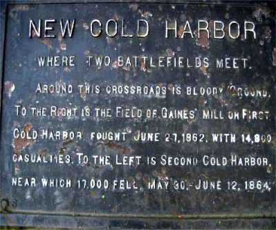
New Cold Harbor
Where Two Battlefields Meet
Erected by Battlefield Markers Association. (Marker Number 6.)
Topics and series. This historical marker is listed in this topic list: War, US Civil. In addition, it is included in the Freeman Markers (Richmond Battlefields) series list. A significant historical year for this entry is 1862.
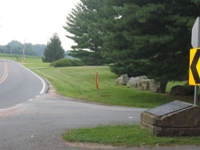
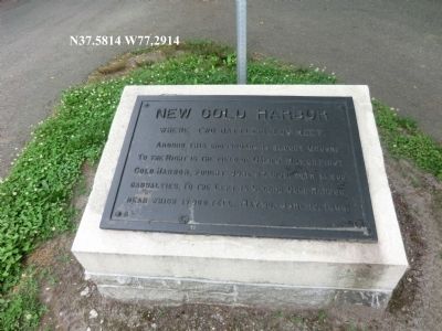
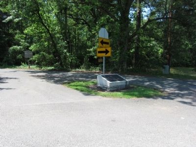
Location. 37° 34.984′ N, 77° 17.489′ W. Marker is near Mechanicsville, Virginia, in Hanover County. Marker is at the intersection of Cold Harbor Road and Watt House Road, on the right when traveling east on Cold Harbor Road. Touch for map. Marker is in this post office area: Mechanicsville VA 23111, United States of America. Touch for directions.
Other nearby markers. At least 8 other markers are within walking distance of this marker. Seven Days’ Battles (a few steps from this marker); 11th Mississippi Monument (approx. 0.2 miles away); Whiting's Division (approx. ¼ mile away); From Stalemate to Breakthrough (approx. ¼ mile away); Walk in the Footsteps of History (approx. 0.3 miles away); We Must Hold This Line (approx. 0.3 miles away); Cold Harbor (approx. 0.3 miles away); Killing Fields (approx. 0.3 miles away). Touch for a list and map of all markers in Mechanicsville.
Related markers. Click here for a list of markers that are related to this marker. Gaines' Mill markers outside the battlefield park
Additional keywords. Freeman Markers, Richmond Battlefield Parks Corporation, Douglas Southall Freeman
Credits. This page was last revised on June 16, 2016. It was originally submitted on December 7, 2008, by Bernard Fisher of Richmond, Virginia. This page has been viewed 1,090 times since then and 20 times this year. Photos: 1, 2. submitted on December 7, 2008, by Bernard Fisher of Richmond, Virginia. 3. submitted on September 18, 2012, by Don Morfe of Baltimore, Maryland. 4. submitted on May 27, 2012, by Craig Swain of Leesburg, Virginia. • Craig Swain was the editor who published this page.


