Near Fort Benton in Chouteau County, Montana — The American West (Mountains)
Whoop-up Trail
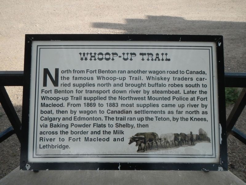
Photographed by Barry Swackhamer, August 14, 2019
1. Whoop-up Trail Marker
Topics. This historical marker is listed in this topic list: Roads & Vehicles.
Location. 47° 48.892′ N, 110° 42.569′ W. Marker is near Fort Benton, Montana, in Chouteau County. It is on U.S. 87 near County Road 386, on the right when traveling north. Touch for map. Marker is in this post office area: Fort Benton MT 59442, United States of America. Touch for directions.

Regionally, this marker is in Central Montana, in Missouri River Country, and specifically in Russell Country. It is also in the American Mountain
this page online
Other nearby markers. At least 8 other markers are within 2 miles of this marker, measured as the crow flies: Mullan Road (here, next to this marker); Fort Benton (here, next to this marker); Steamboat Navigation (here, next to this marker); Chouteau County (here, next to this marker); Lewis and Clark Trail (here, next to this marker); Fur Trade Posts (here, next to this marker); St. Paul's Episcopal Church (approx. 1.7 miles away); a different marker also named St. Paul's Episcopal Church (approx. 1.7 miles away). Touch for a list and map of all markers in Fort Benton.
Also see . . . Whoop-Up Trail. Wikipedia entry (Submitted on September 18, 2026, by Larry Gertner of New York, New York.)
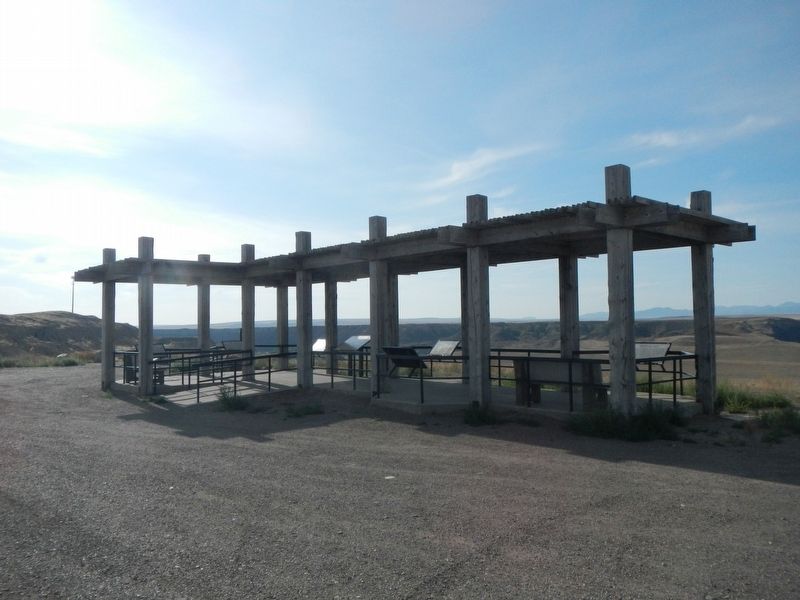
Photographed by Barry Swackhamer, August 14, 2019
2. Missouri River Overlook Kiosk
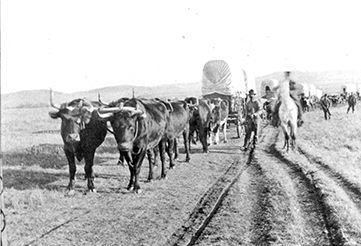
Photographed by Signature Montana Magazine
3. Wagons on the Whoop-up Trail
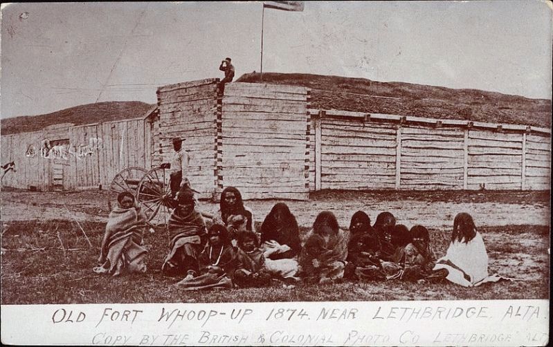
Photographed by Unknown
4. Fort Whoop-up
Credits. This page was last revised on September 18, 2026. It was originally submitted on October 31, 2019, by Barry Swackhamer of Brentwood, California. This page has been viewed 408 times since then and 35 times this year. Photos: 1, 2, 3, 4. submitted on October 31, 2019, by Barry Swackhamer of Brentwood, California.
