The Citizens' Committee
Oklahoma City April 23, 1889
| — | The ‘89er Trail | — |
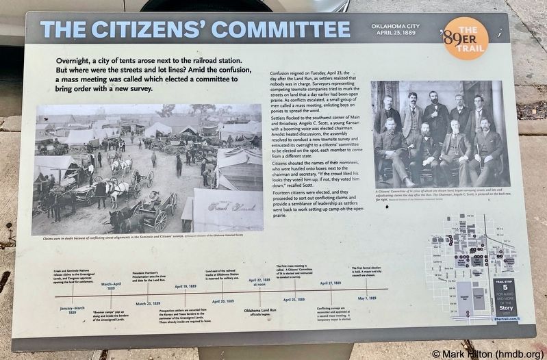
Overnight, a city of tents arose next to the railroad station. But where were the streets and lot lines? Amid the confusion, a mass meeting was called which elected a committee to bring order with a new survey.
Confusion reigned on Tuesday, April 23, the day after the Land Run, as settlers realized that nobody was in charge. Surveyors representing competing townsite companies tried to mark the streets on land that a day earlier had been open prairie. As conflicts escalated, a small group of men called a mass meeting, enlisting boys on ponies to spread the word.
Settlers flocked to the southwest corner of Main and Broadway. Angelo C. Scott, a young Kansan with a booming voice was elected chairman. Amidst heated discussions, the assembly resolved to conduct a new townsite survey and entrusted its oversight to a citizens' committee to be elected on the spot, each member to come from a different state.
Citizens shouted the names of their nominees, who were hustled onto boxes next to the chairman and secretary. "If the crowd liked his looks they voted him up; if not, they voted him down," recalled Scott.
Fourteen
this page online
Photo captions:
Left: Claims were in doubt because of conflicting street alignments in the Seminole and Citizens' surveys.
Research Division of the Oklahoma Historical Society
Right: A Citizens' Committee of 14 (nine of whom are shown here) began surveying streets and lots and adjudicating claims the day after the Run. The Chairman, Angelo C. Scott, is pictured on the back row, far right. Research Division of the Oklahoma Historical Society
Erected 2018 by Oklahoma City Community Foundation, Wiggin Properties. (Marker Number 5.)
Topics and series. This historical marker is listed in this topic list: Settlements & Settlers. In addition, it is included in the The '89er Trail series list. A significant day of the year for for this entry is April 23.
Location. 35° 28.055′ N, 97° 30.89′ W. Marker is in Oklahoma City, Oklahoma, in Oklahoma County. It is in Central Oklahoma City. It is on West Main Street west of North Broadway Avenue, on the right when traveling

Regionally, this marker is in Central Oklahoma—Frontier Country. It is also in the American South, specifically on the prairies, and on the Southern Plains. Globally, it is in North America, the Western Hemisphere, the Western World, and the Anglosphere. Historically, it finds itself in what was once the territory of the Mississippian Culture and also the Louisiana Purchase.
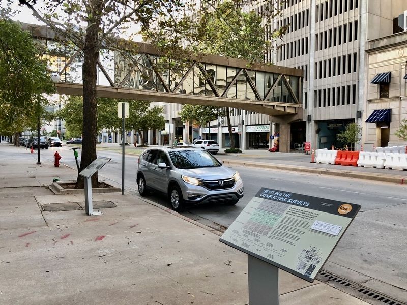
Other nearby markers. At least 8 other markers are within walking distance of this marker: Settling the Conflicting Surveys (a few steps from this marker); The Election of May 1, 1889 (within shouting distance of this marker); Angelo C. Scott (within shouting distance of this marker); Indian Lands Near the Unassigned Lands (about 400 feet away, measured in a direct line); A Summer of Political Unrest (about 400 feet away); City Hall by Forfeiture (about 400 feet away); The Building of Oklahoma City (about 600 feet away); Air Force Monument (about 600 feet away). Touch for a list and map of all markers in Oklahoma City.
Credits. This page was last revised on February 16, 2023. It was originally submitted on October 31, 2019, by Mark Hilton of Montgomery, Alabama. This page has been viewed 223 times since then and 18 times this year. Photos: 1, 2. submitted on October 31, 2019, by Mark Hilton of Montgomery, Alabama.
