Downtown in St. Louis, Missouri — The American Midwest (Upper Plains)
1990
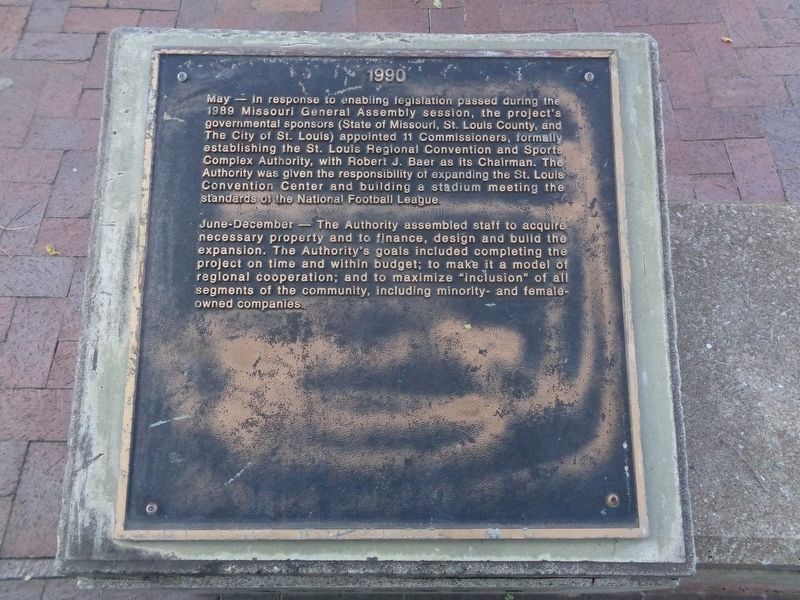
Photographed by Jason Voigt, October 22, 2019
1. 1990 Marker
June-December - The Authority assembled staff to acquire necessary property and to finance, design and build the expansion. The Authority's goals included completing the project on time and within budget; to make it a model of regional cooperation; and to maximize "inclusion" of all segments of the community, including minority- and female-owned companies.
Erected by The St. Louis Regional Convention and Sports Complex Authority.
Topics. This historical marker is listed in these topic lists: Industry & Commerce • Sports. A significant historical year for this entry is 1990.
Location. 38° 37.907′ N, 90° 11.237′ W.
this page online

Regionally, this marker is in the American Midwest, in the Lewis & Clark Corridor, in the Corn Belt, and in the Great River Road Region. Globally, it is in North America, the Western Hemisphere, the Western World, and the Anglosphere. Historically, it finds itself in what was once the territory of the Mississippian Culture, the Louisiana Purchase, and the Antebellum South.
Other nearby markers. At least 8 other markers are within walking distance of this marker: 1991 (here, next to this marker); 1992 (a few steps from this marker); 1993 (a few steps from this marker); Robert J. Baer Plaza (within shouting
Photographed by Jason Voigt, October 22, 2019
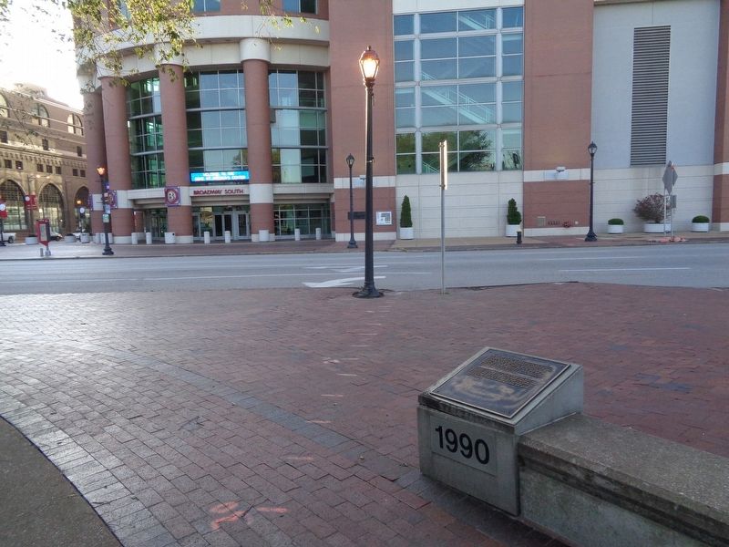
2. 1990 Marker
North Broadway Street and The Dome at America's Center is in the background
More about this marker. This is one of 9 markers located at Baer Plaza, which tell the story of the beginnings of America's Center and the Dome in chronological order.
Credits. This page was last revised on January 30, 2023. It was originally submitted on November 1, 2019, by Jason Voigt of Glen Carbon, Illinois. This page has been viewed 310 times since then and 25 times this year. Photos: 1, 2. submitted on November 1, 2019, by Jason Voigt of Glen Carbon, Illinois. • Devry Becker Jones was the editor who published this page.
